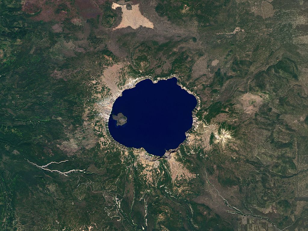
 Photo courtesy Wikipedia
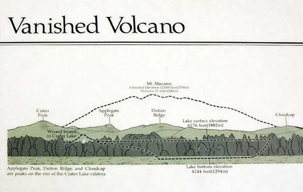
The only National Park in Oregon is Crater Lake National Park in the SW corner of the State. The crater is all that remains of Mount Mazama which collapsed approximately 8000 years ago. The lake is the deepest in the United States at 1950 feet.
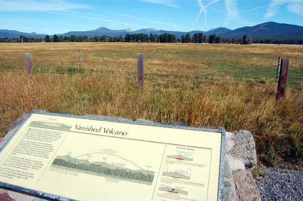
On the way up from the less travelled east side is this plaque.
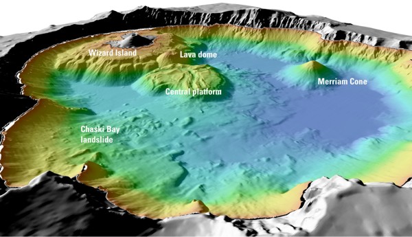
Diagram courtesy Wikipedia
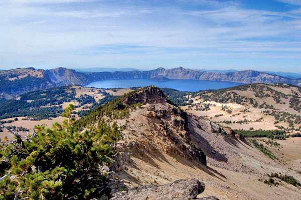
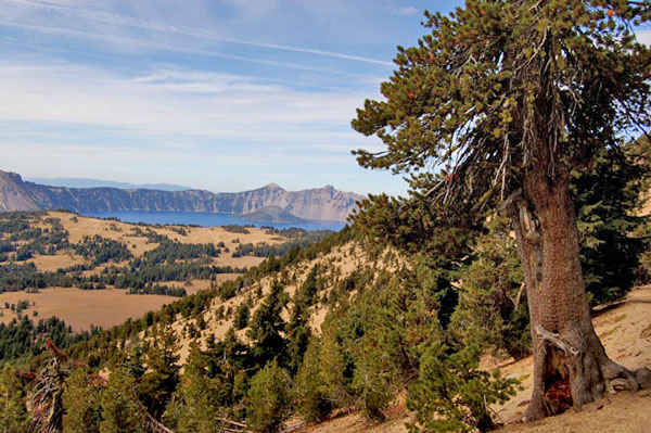
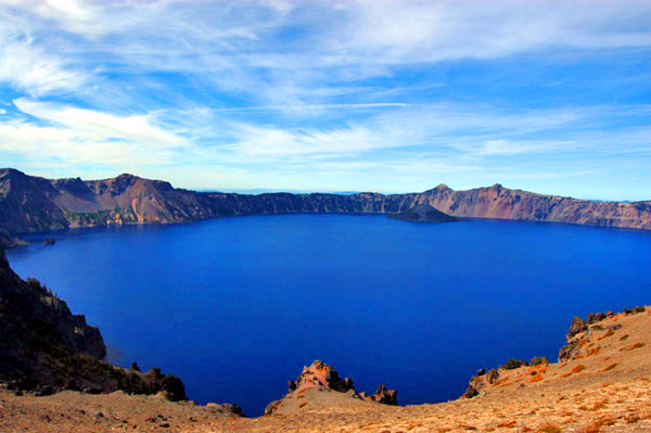
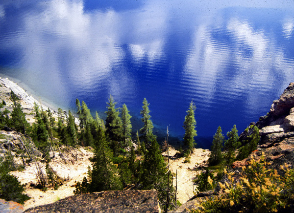
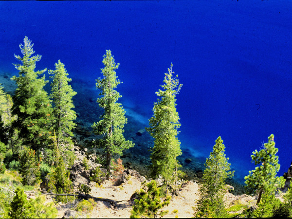
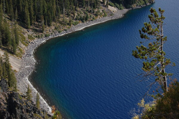
Famous for its deep blue colour which is always a suprise at first glimpse. There are no outlets from this caldera and evaporation is balanced by snow (of which there is sometimes forty feet) and rainfall.
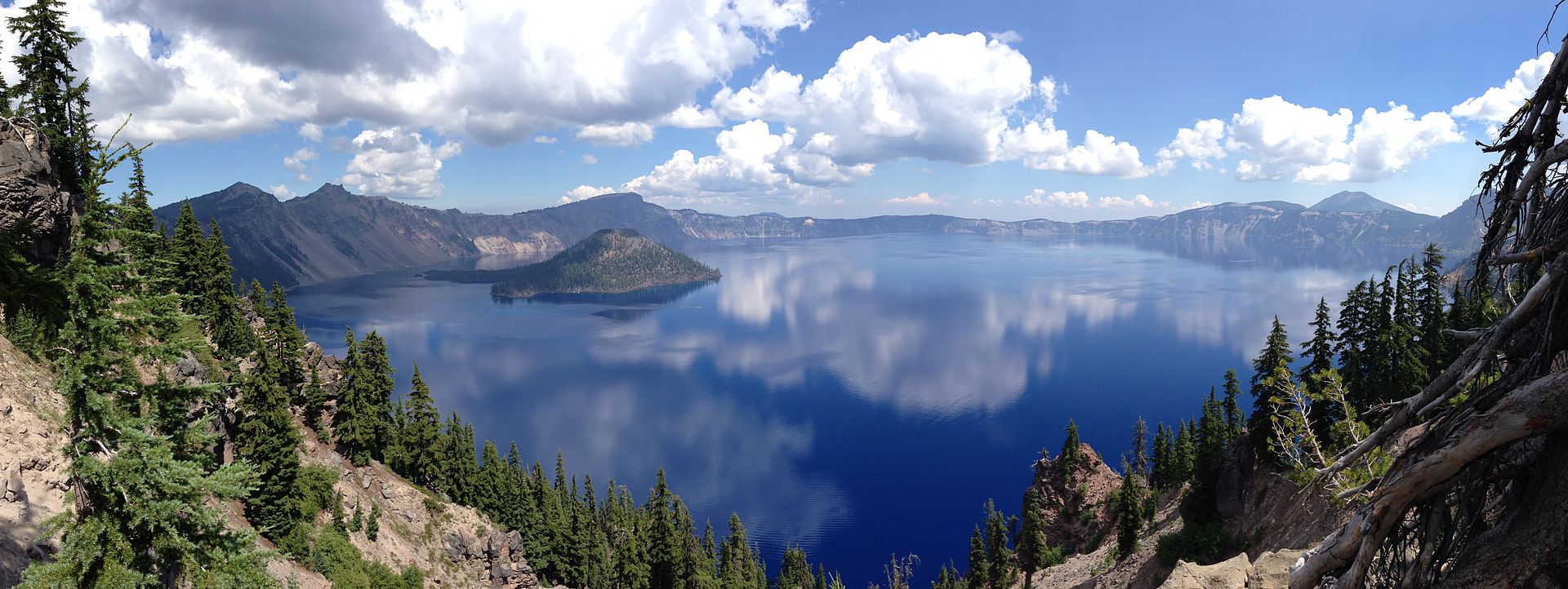
The lake sits at 7-8000 feet above sea level and is about 5 by 6 miles in size with a scenic seventeen mile drive around the periphery.
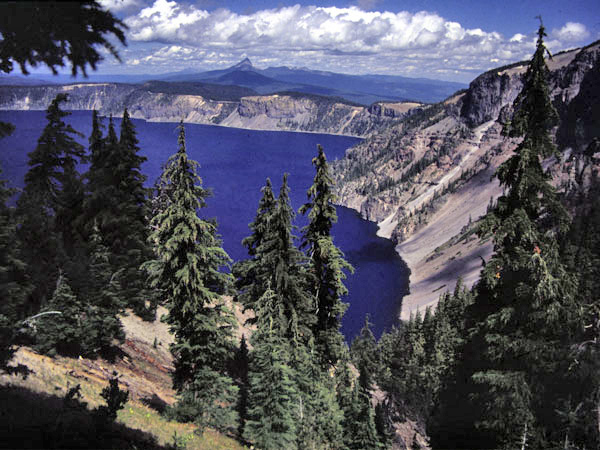
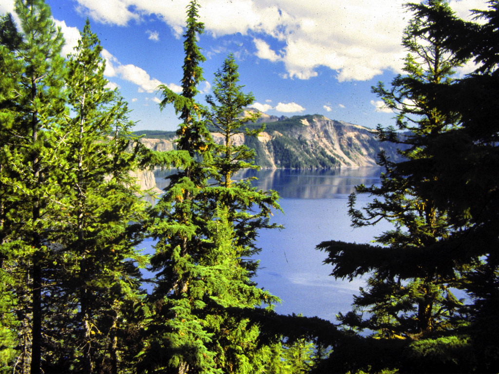
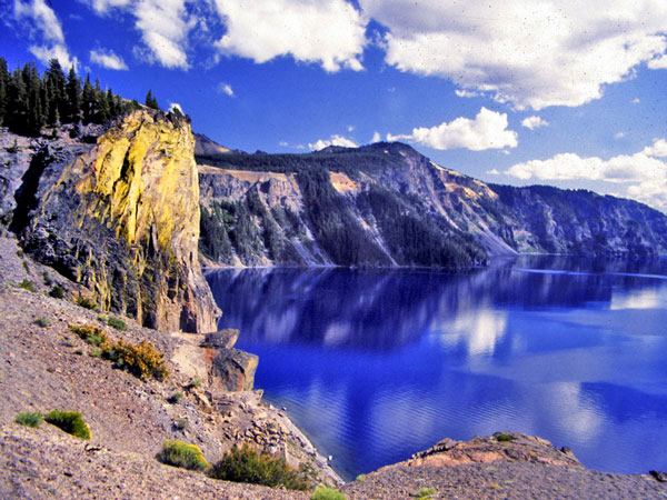
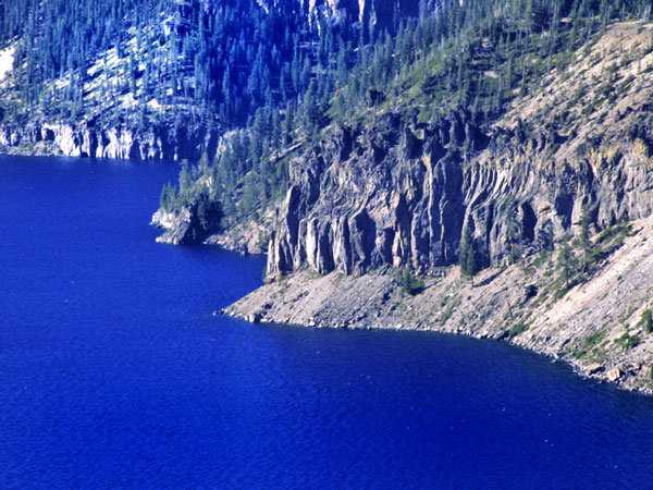
Below-View of nearby Mt Thielson
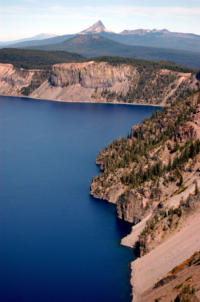
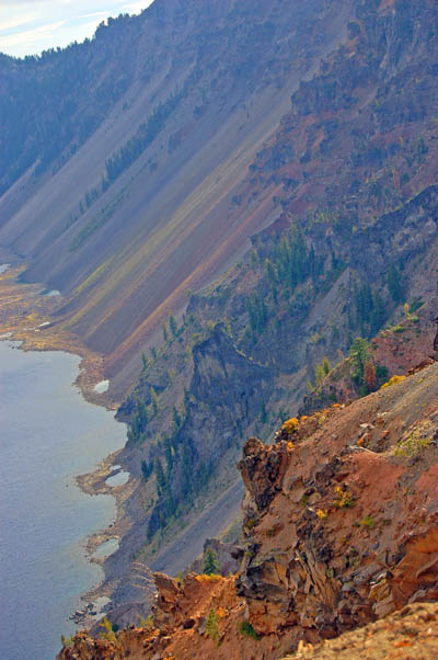
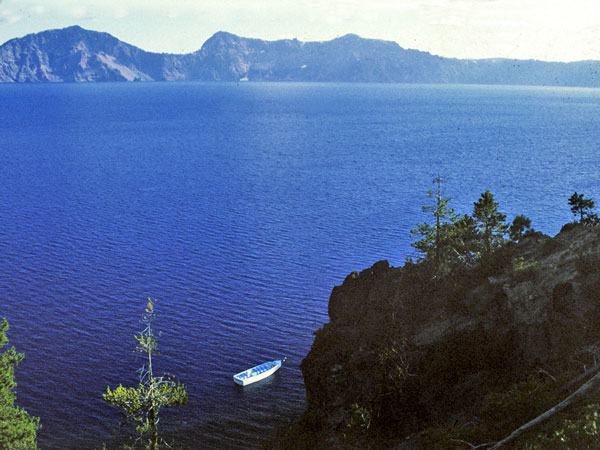
Above I dont know if this still operates but there was a launch that gave a tour of the lake at water level. One had to descend 800 feet to get to it though.
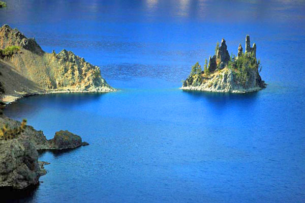
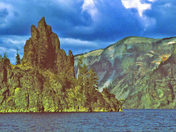
Wizard Island at lake level.
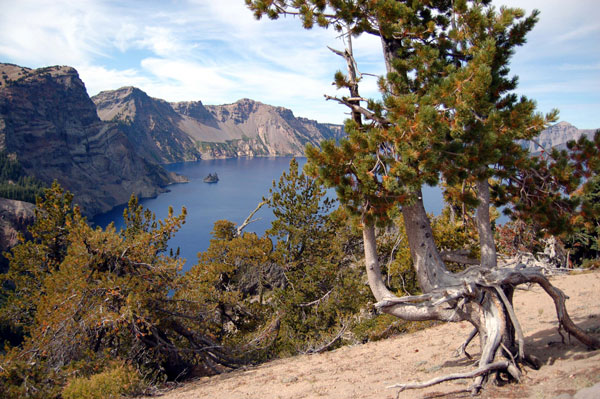
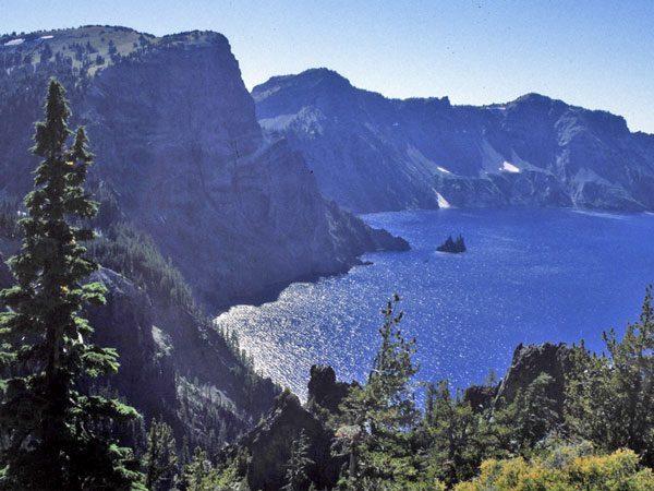
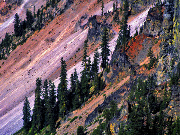
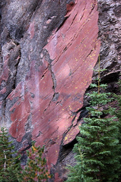
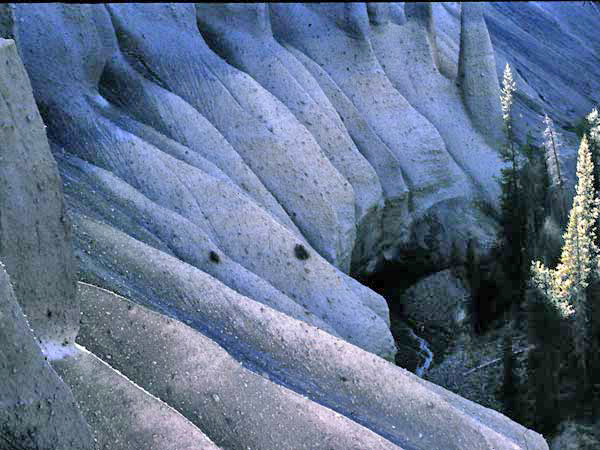
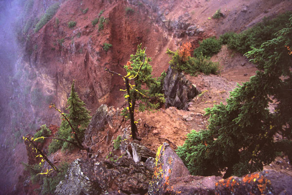
Below nearby eroded rocks.
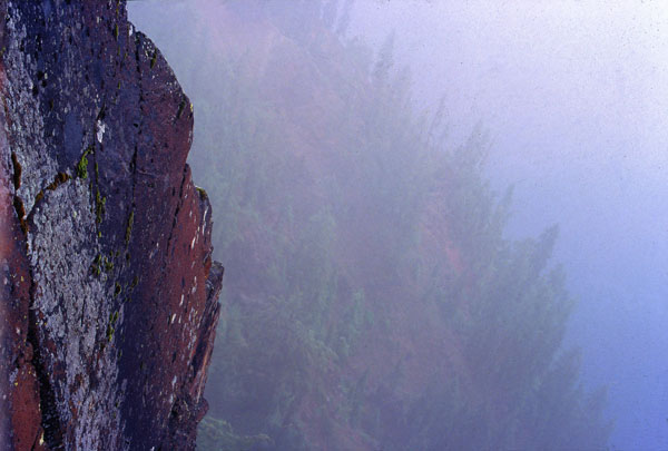
Many people see nothing of the views when the lake is shrouded in the clouds.
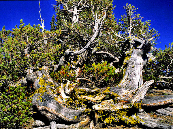
Ancient Bristlecone pines

Some parts like a Chinese landscape.
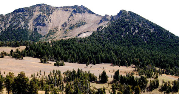
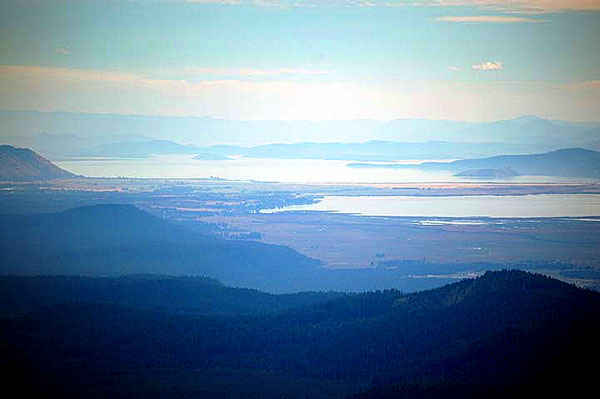
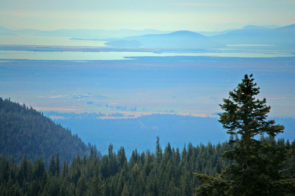
Above and below- Mount Scott overlooks the Lake and there are grand views to the east over to Klamath Lake
