THE WALLOWAS & THE SOLAR ECLIPSE
Oct 2017
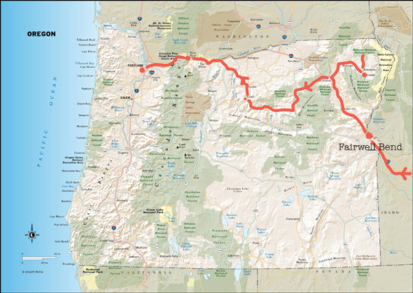
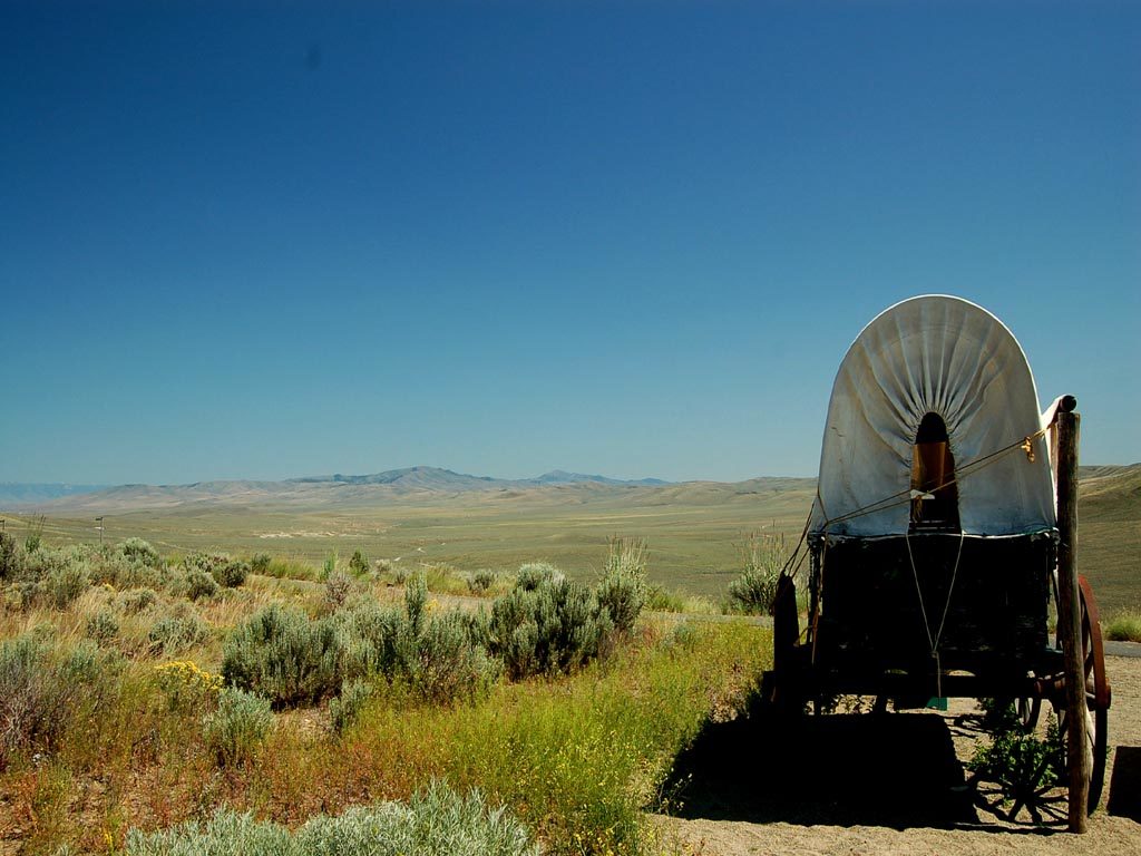
Farewell Bend is on the Snake River which defines the Idaho-Oregon border. It was named such because it was here that the Oregon Trail left the river to find the Willamette Valley.
Above- A few minutes before the solar eclipse from our vantage point near the bend in the river.
Above as the eclipse was at 90% totality.
The photos below were taken seconds apart as the Earths shadow rushed past us at over a thousand miles an hour.
(The sequence above courtesy of mi amigo Walter Moberg).
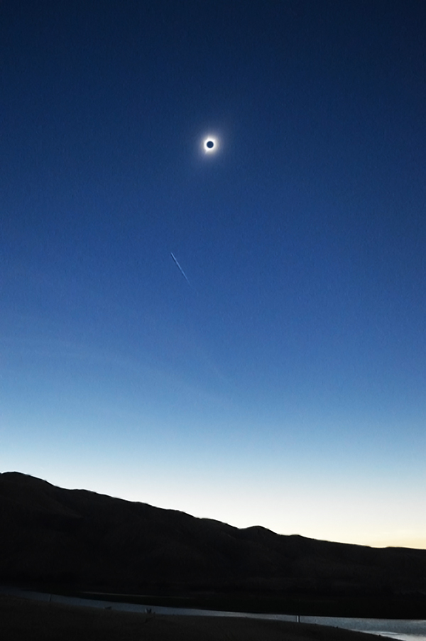
Below– The totality which lasted maybe two minutes.
____________
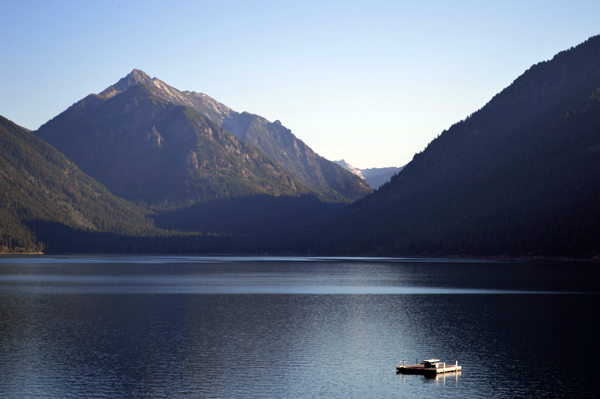
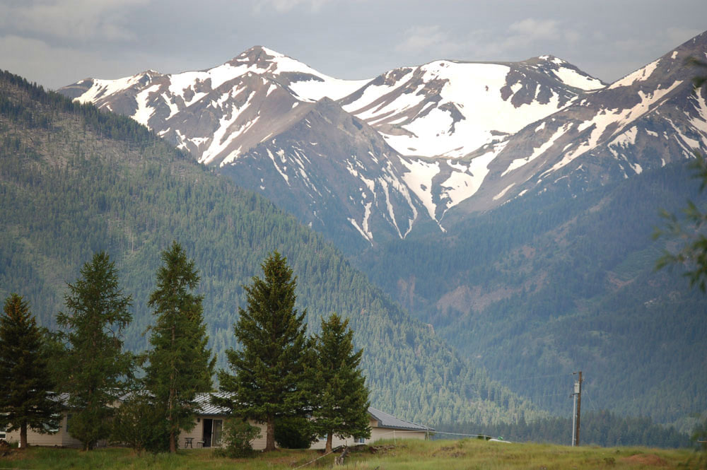
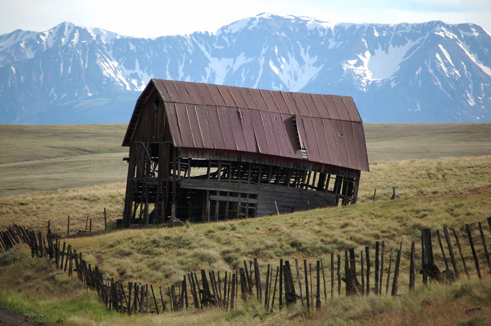
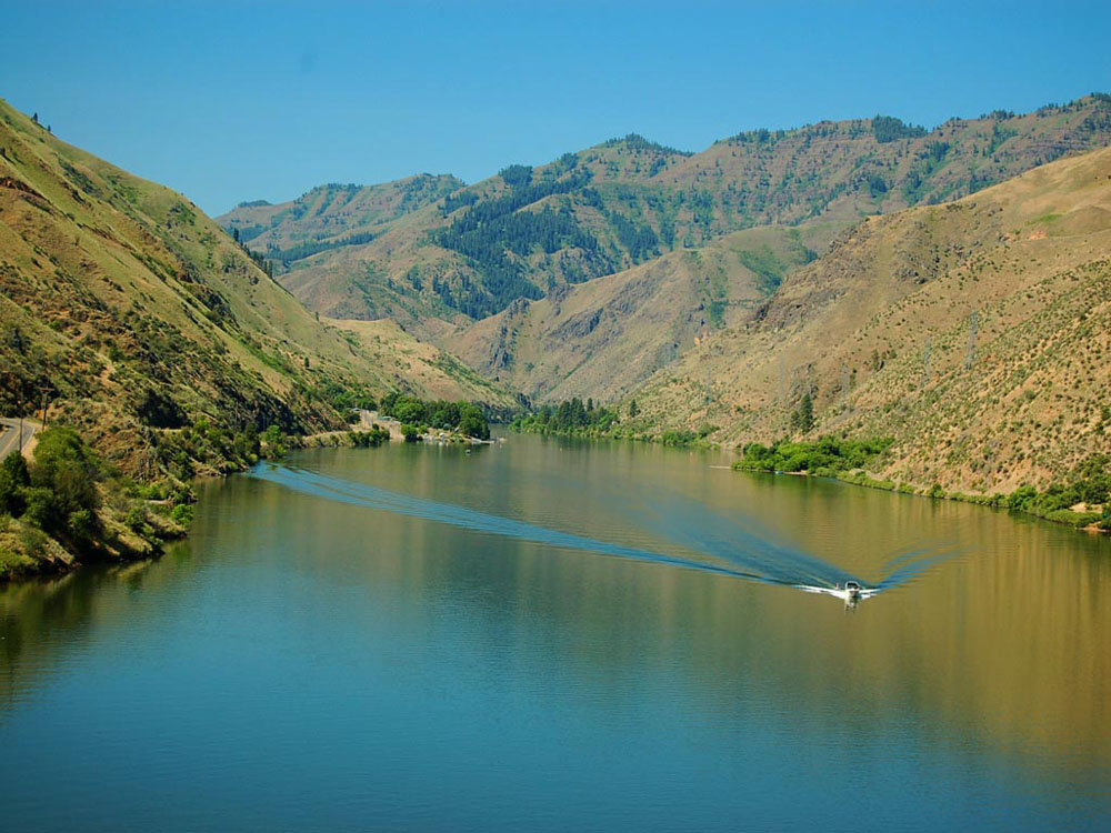
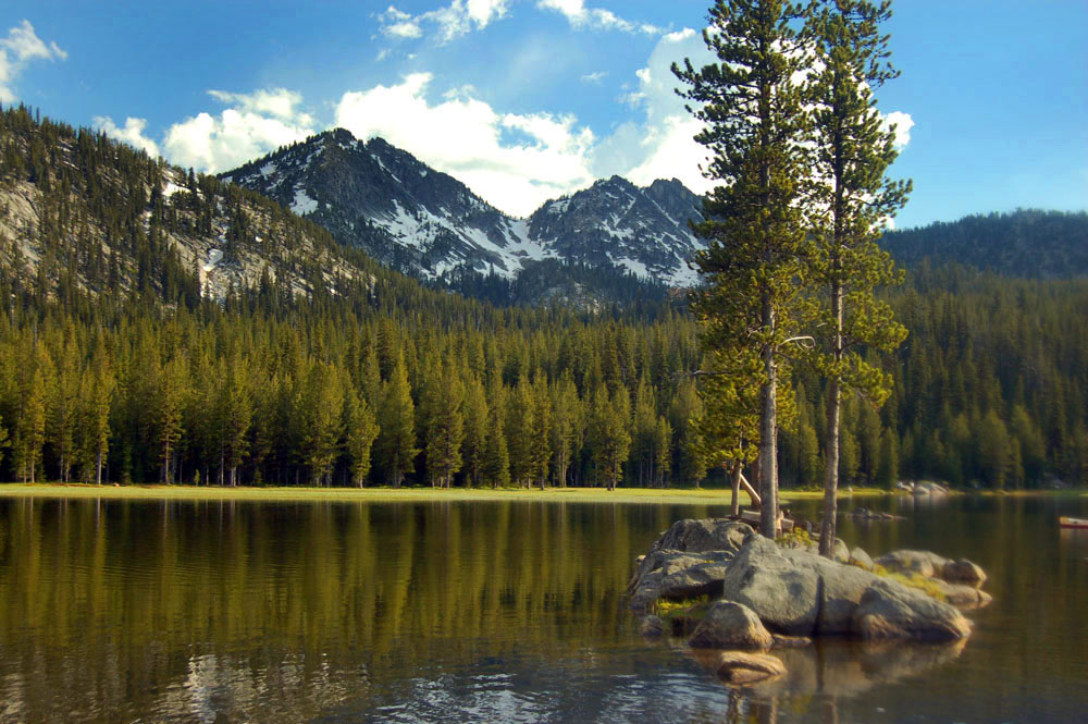
After the eclipse we drove to nearby Wallowa Lake (below) and the town of Joseph.
![]()
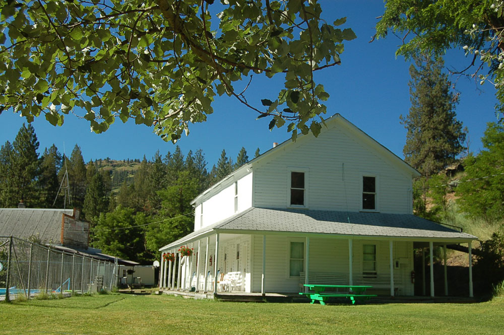
Above and below the town has a certain quirkiness.
![]()
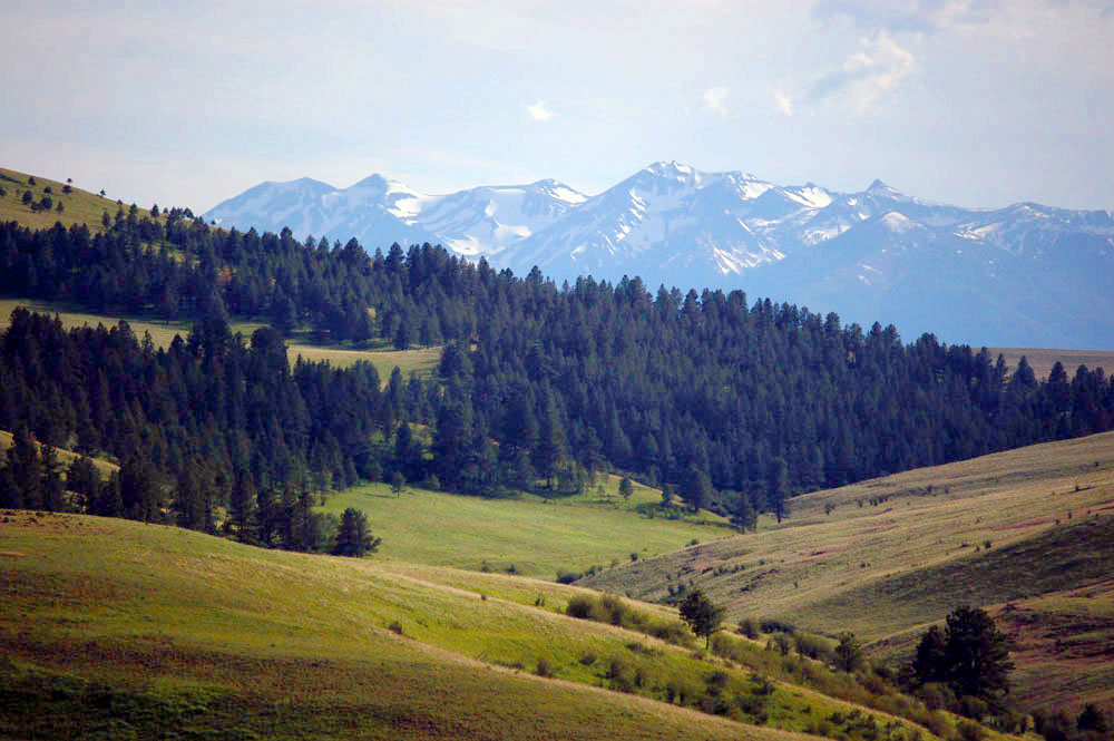
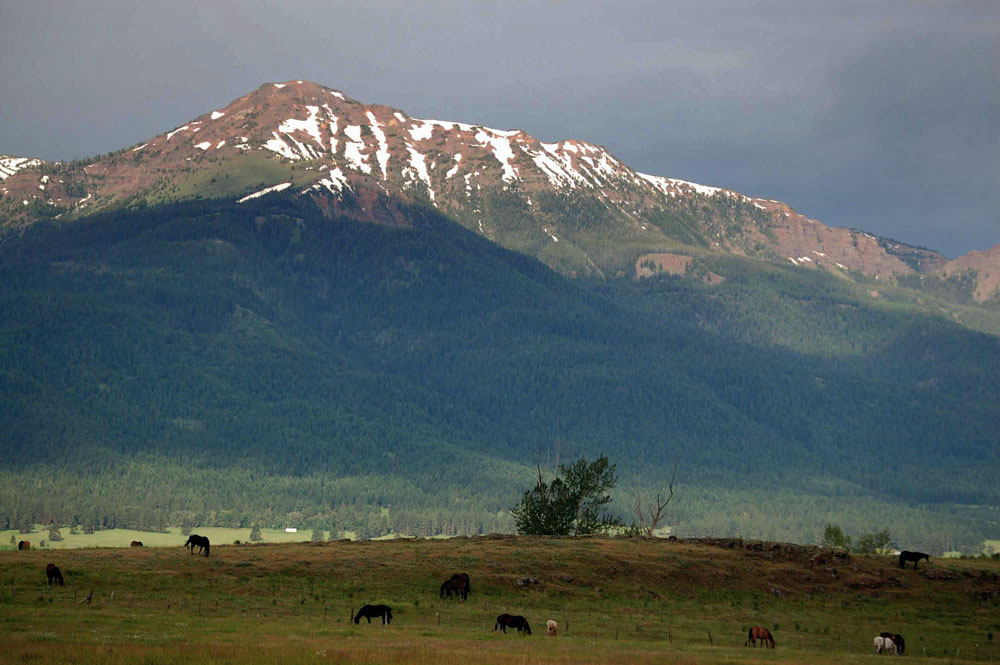
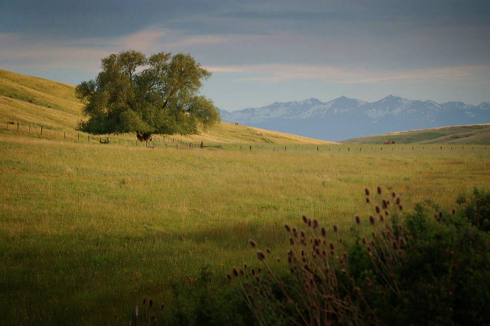
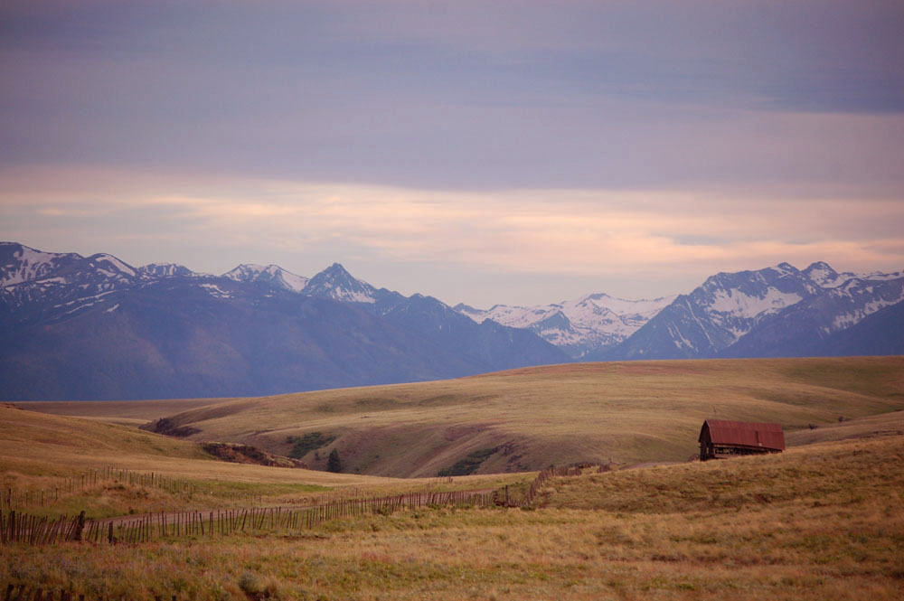
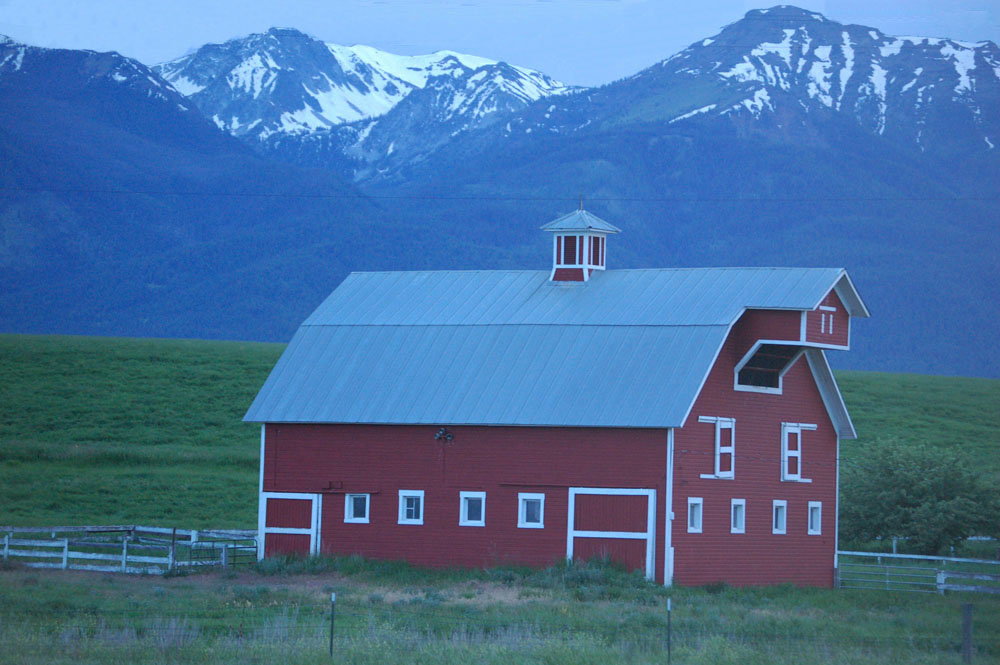
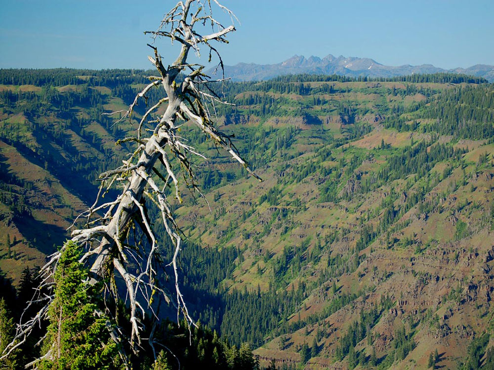
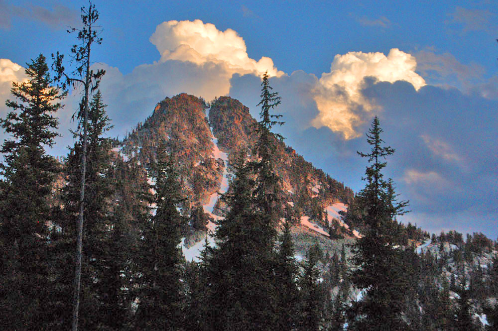
Below- The Wallowa Mountains rise up near the town.
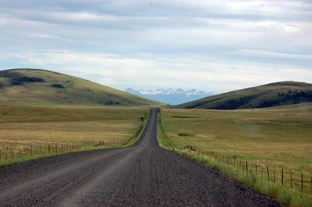
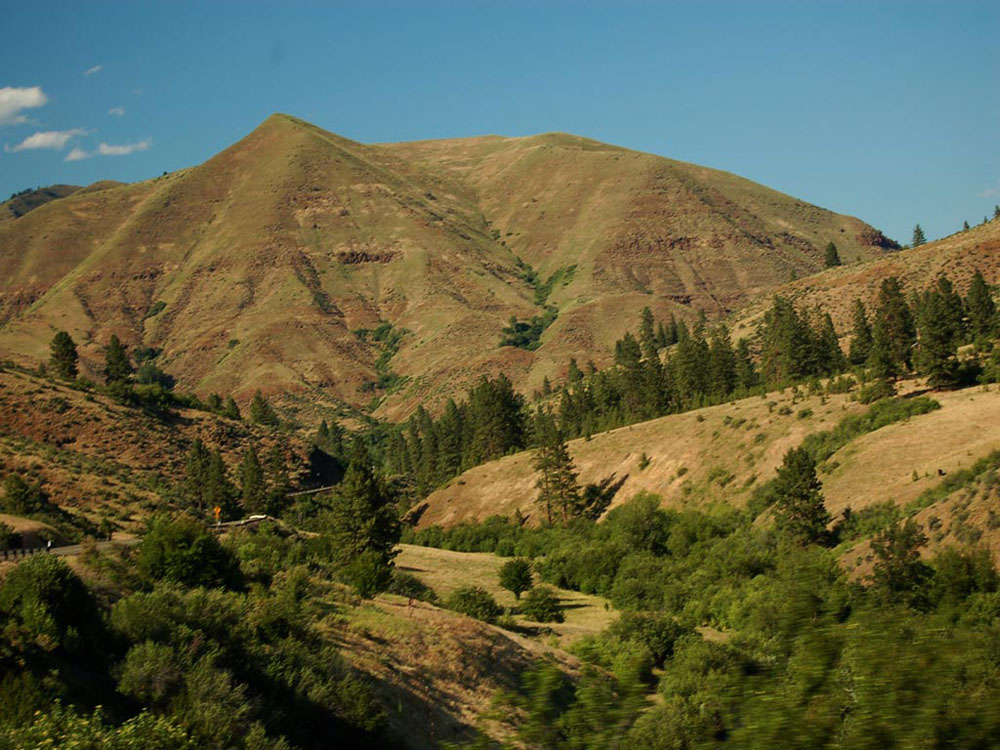
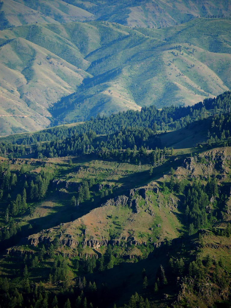
Below– A road leads north from Joseph over Zumwalt Prairie toward Hells Canyon.
![]()
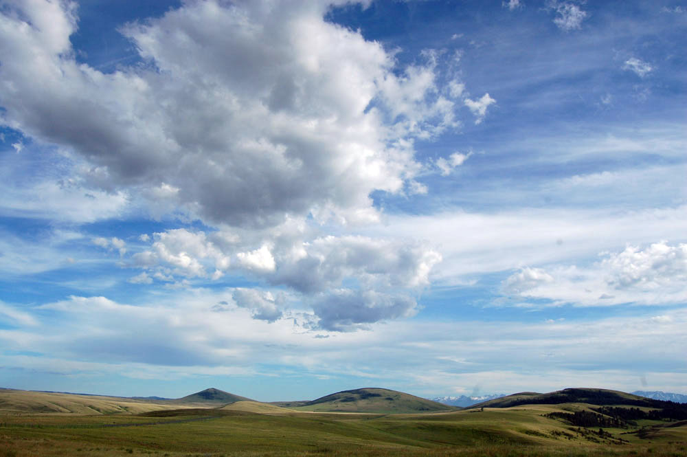
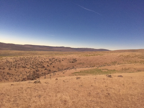
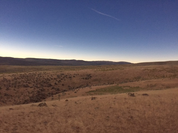
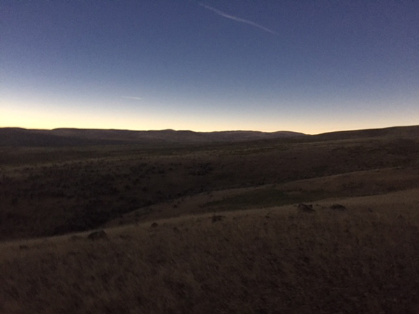
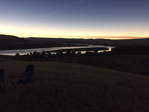
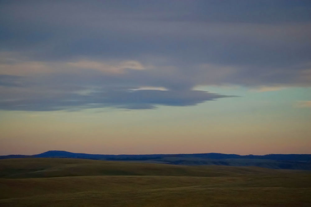
Below– Sunset over the Zumwalt Praire.
_______________________________-
Below- Hells Canyon which also forms the border between Idaho and Oregon.
Hells Canyon is a 10-mile wide canyon. It is North America’s deepest river gorge at almost 8000 feet deep.
Below– At the bottom The Snake River.
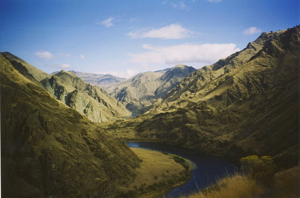
(Photo above courtesy Wikipedia)
_______________
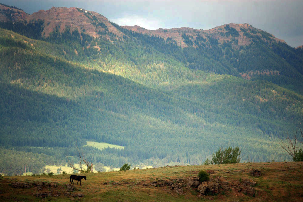
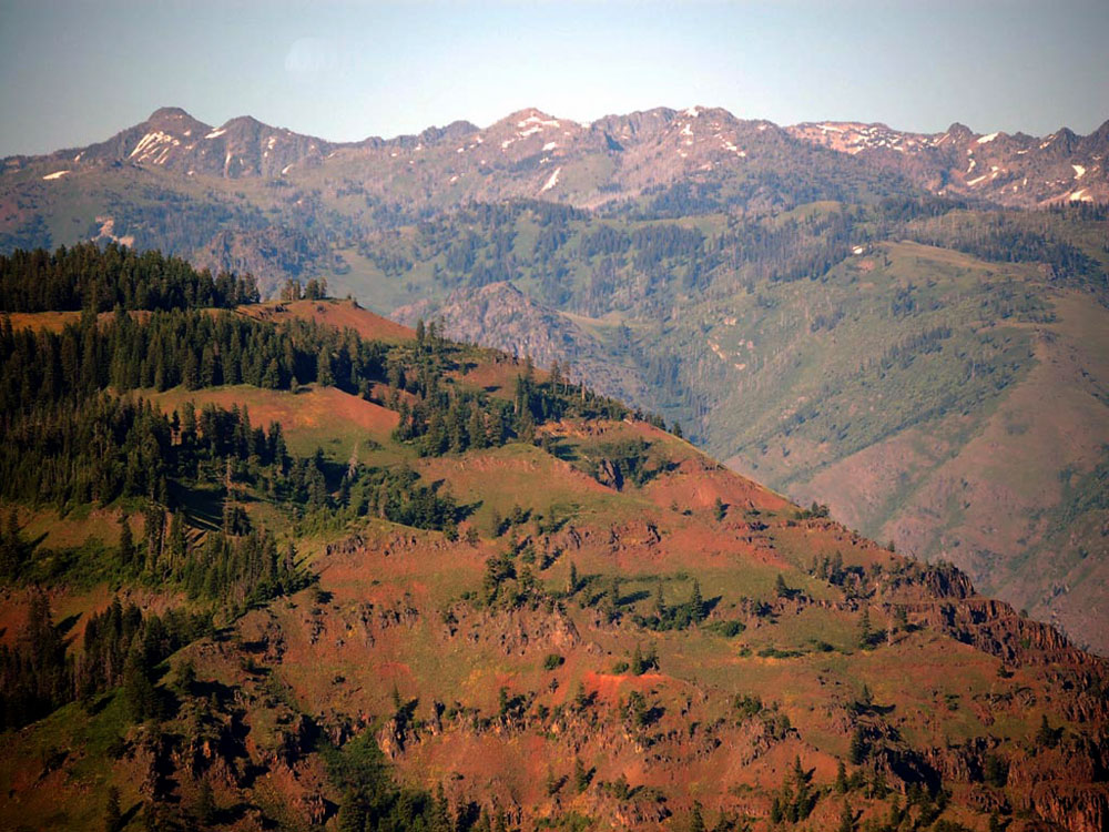
Above the Elkhorn Range in the Blue Mountains.
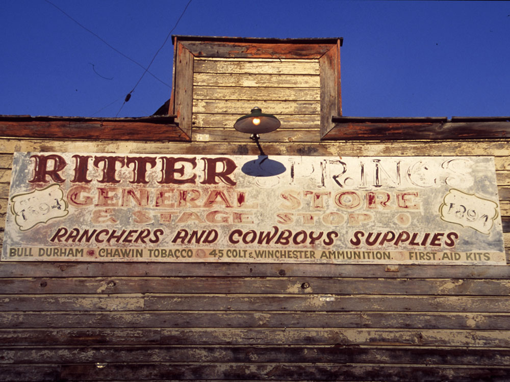
Below– After the Wallowas and the eclipse we went to Ritter Hot Springs which is a fairly remote place that we have visited many times over the years. Always a quiet relaxing place. We thought it a good end to a long trip having to have a soak in their hot pools. However a day or two before there had been a hundred people there watching the eclipse and so it was not as quiet as could be but none the less a good hot soak was had before returning to Portland.


Next and lastly on to the Columbia Gorge and Portland.