THE BADLANDS & THE BLACK HILLS OF SOUTH DAKOTA
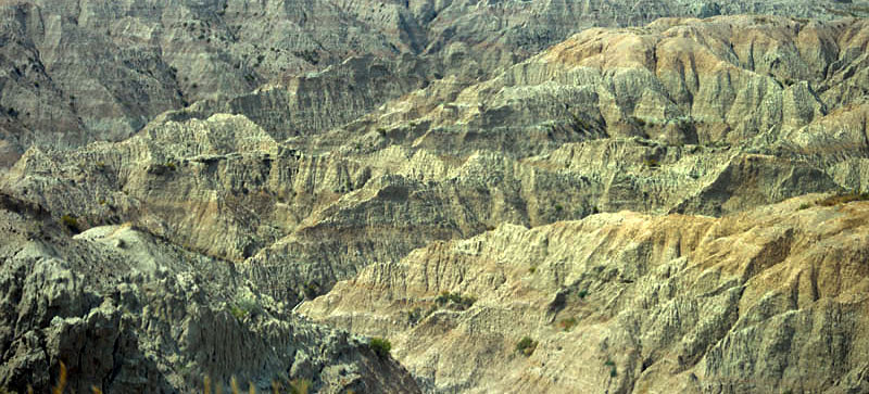
The beginning of the West ? If one is travelling from the east to the west then The Missouri River is a clear and definite transition. East of that river all is corn and soybean cropland. West of the river is more arid with grassland and prairie. Trees disappear. Landscapes become more dramatic. The Badlands are the first of those dramatic landscape moments along the northern route through the west.
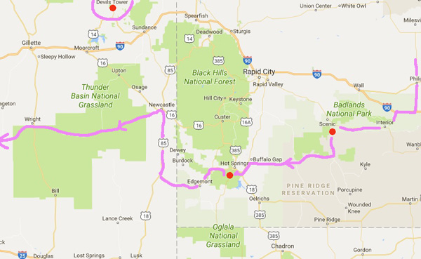
Above . Our route from Minnesotta through South Dakota and The Badlands then Custer State Park in the Black Hills.
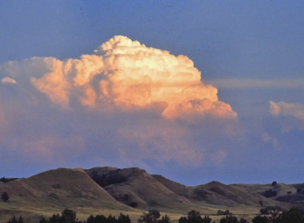
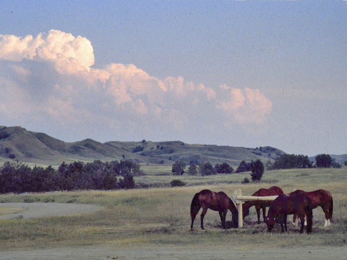
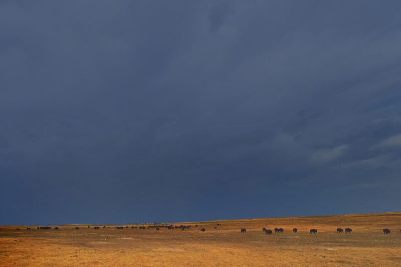
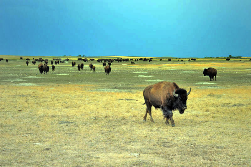
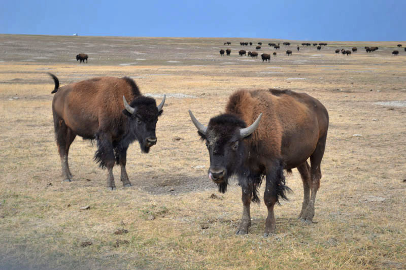
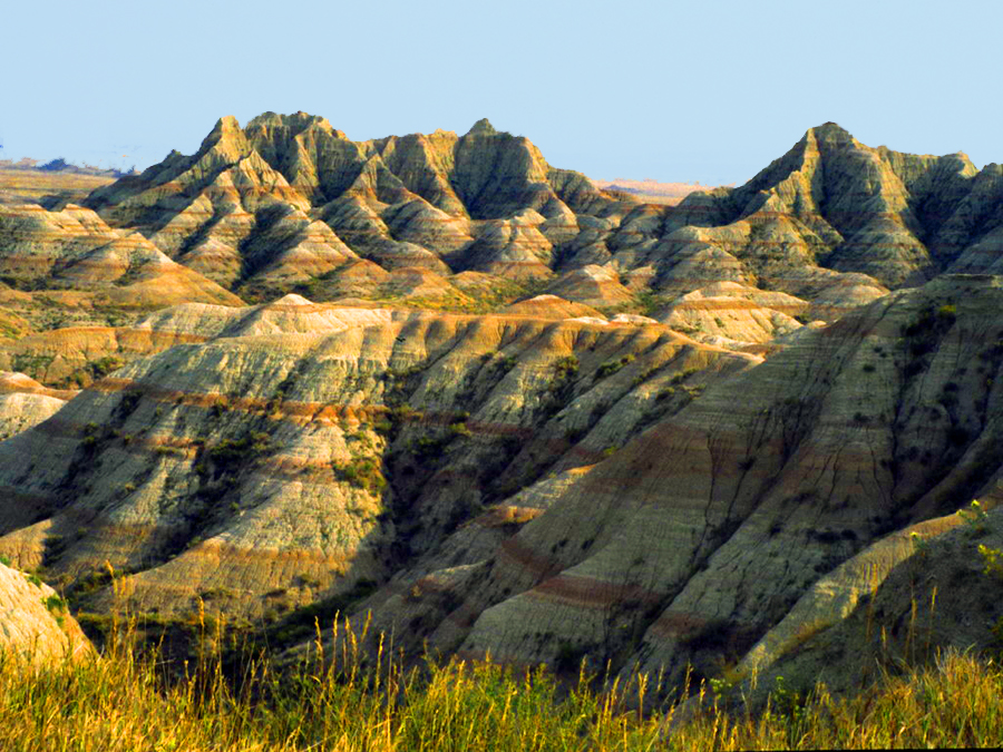
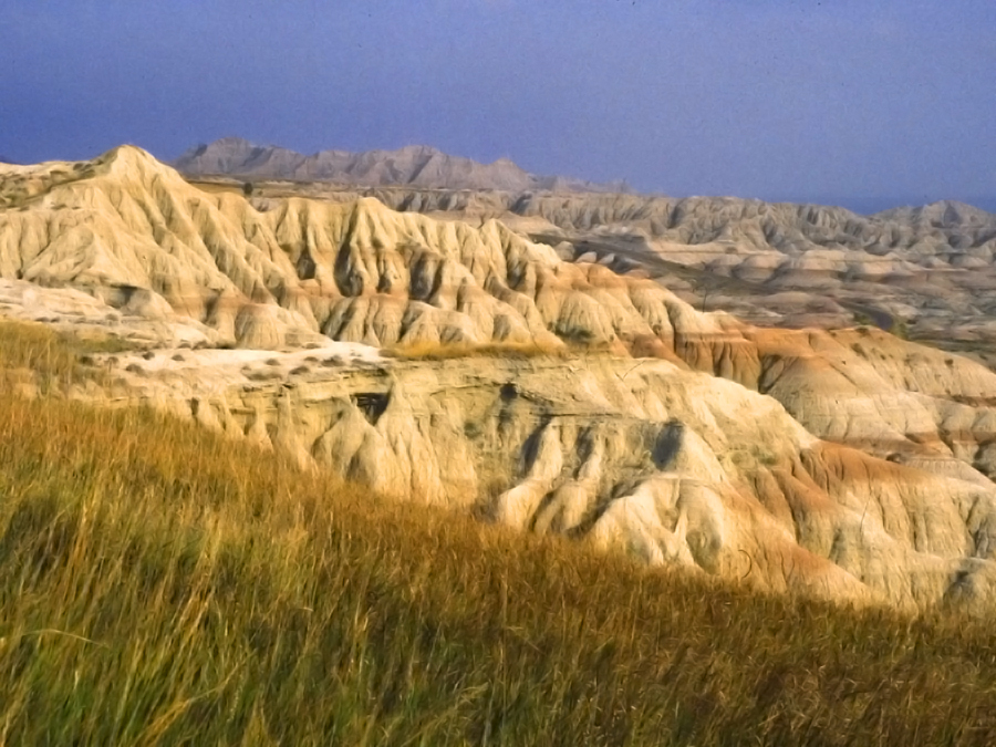
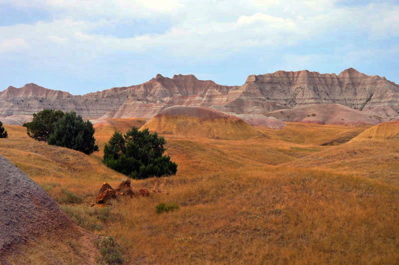
Above and below- Twenty years ago we camped at this remote primitive area on the prairie lands south of The Badlands. These photos were taken then. At that time we were almost alone in the place. This time there were many fellow campers. This was true of most places we have revisited over the years.
Below– On the gravel road that heads south across the prairie a herd of Buffalo (North American Bison) were coming toward us.
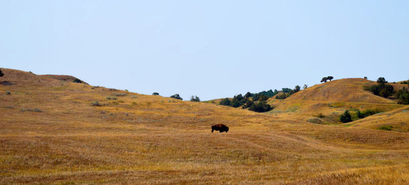
Below– The grassland stretches north toward the eroded escarpment that is The Badlands.
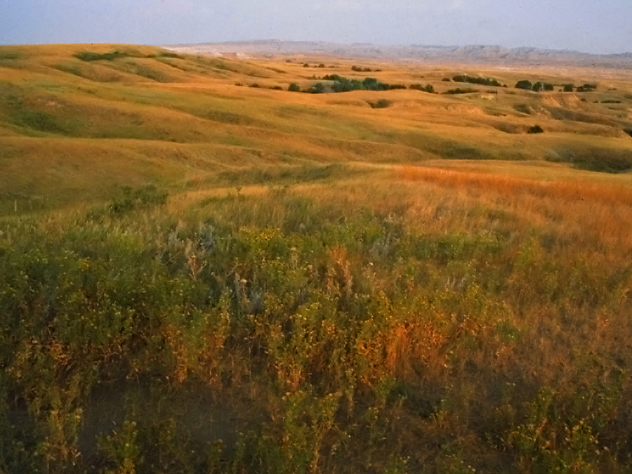
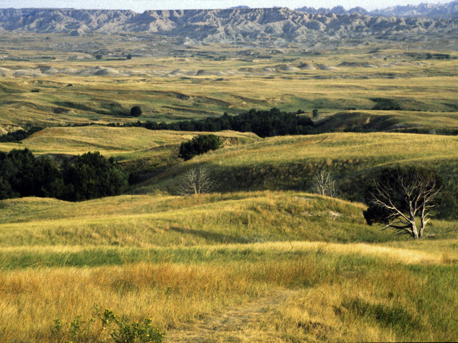
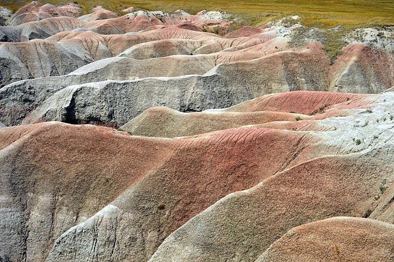
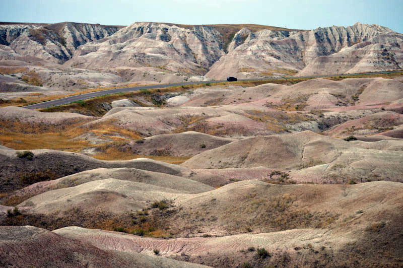
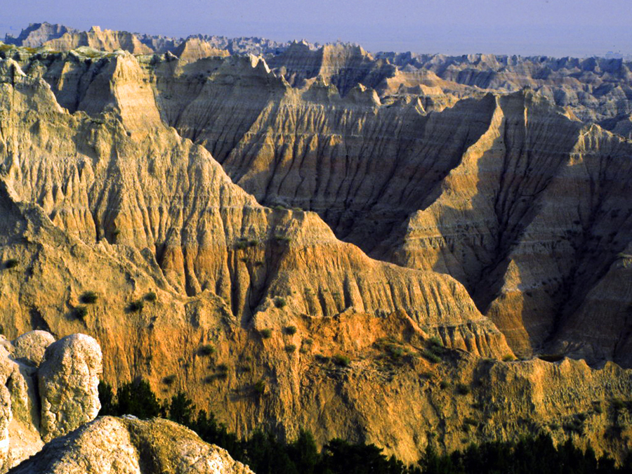
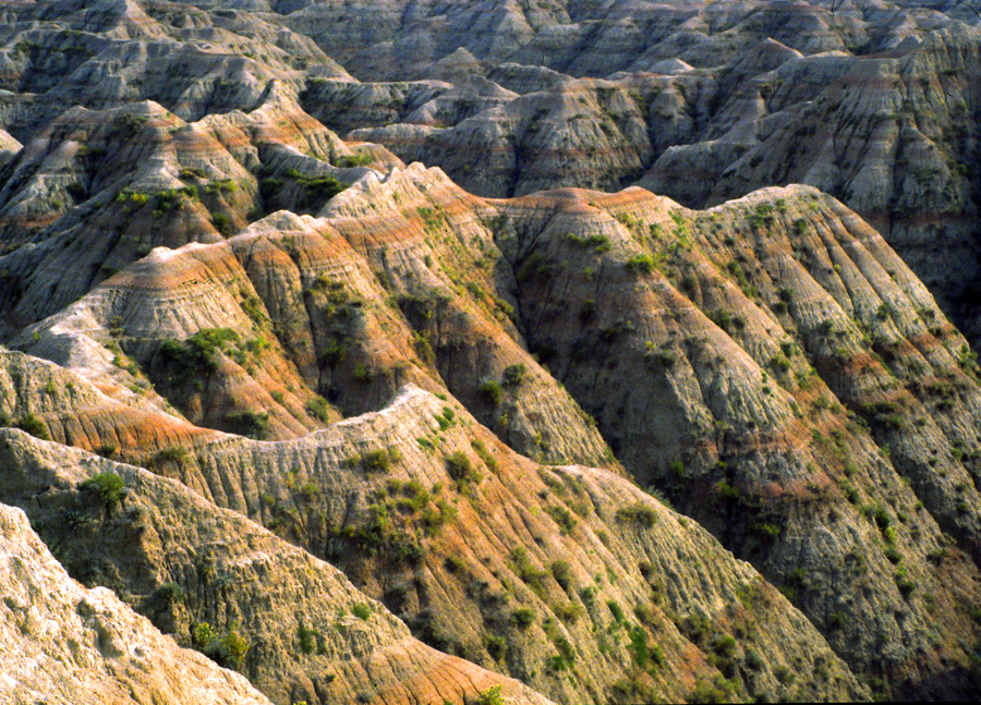
Above and below– The eroded escarpment seen from the grasslands to the south.
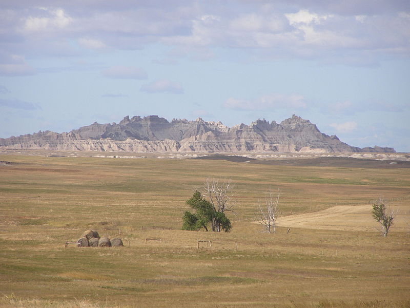 Photo above courtesy Wikipedia
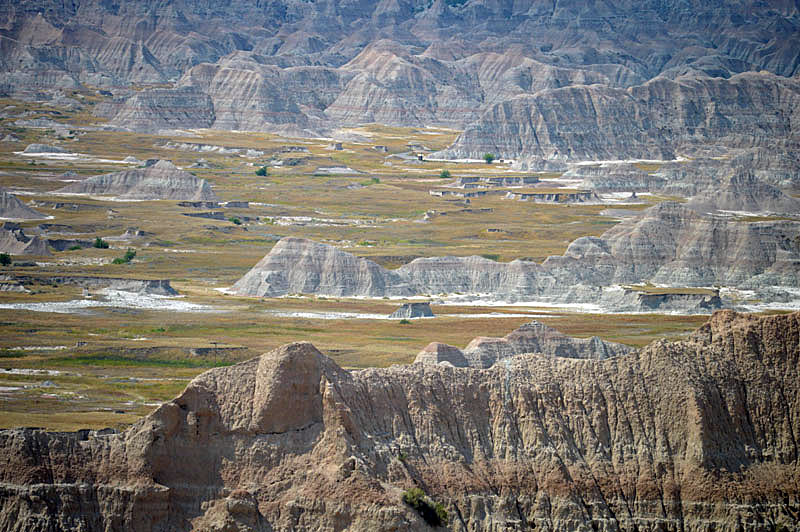
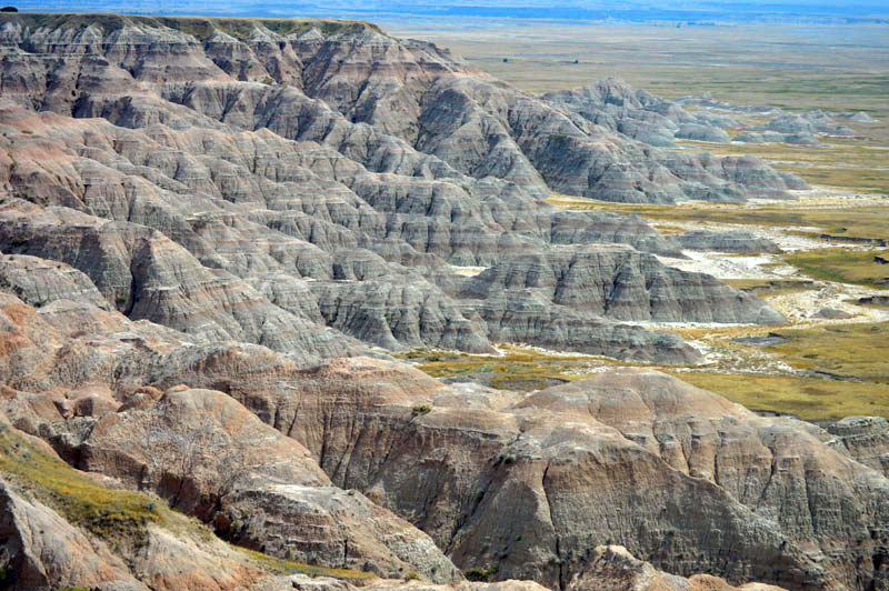
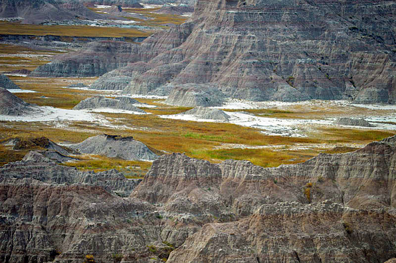
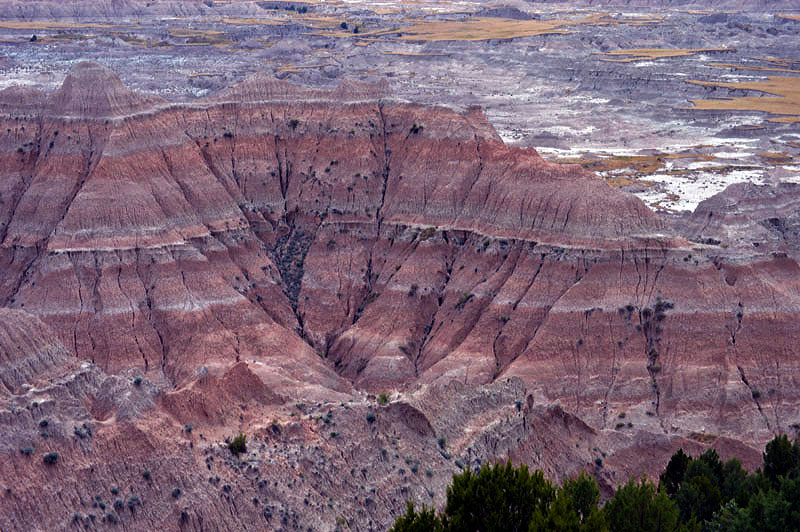
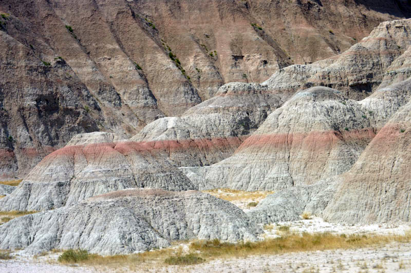
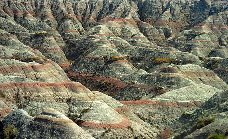
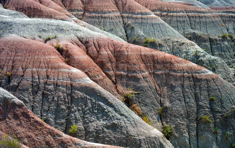
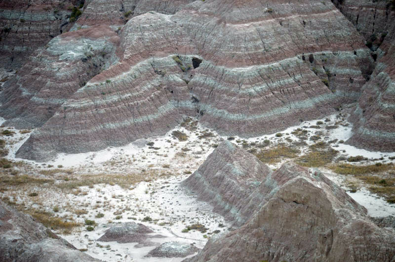
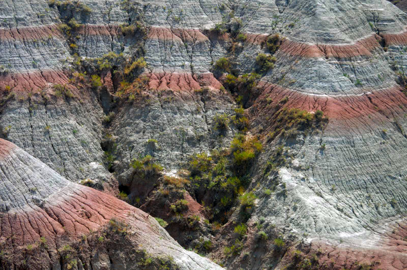
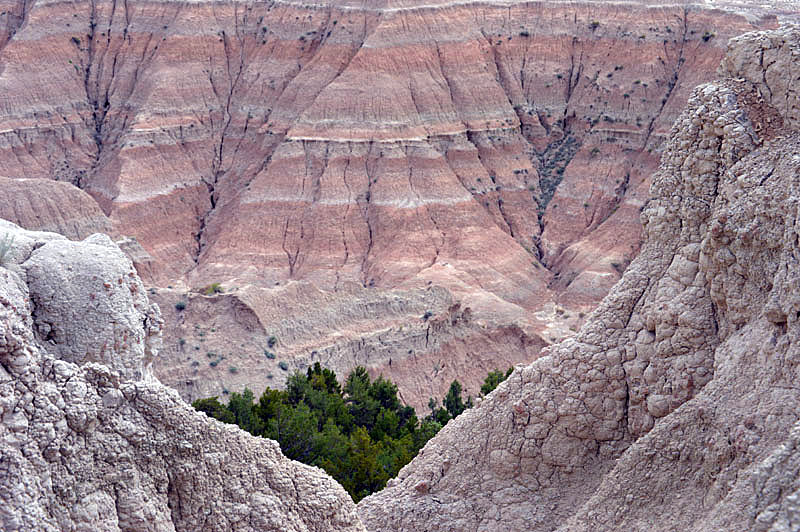
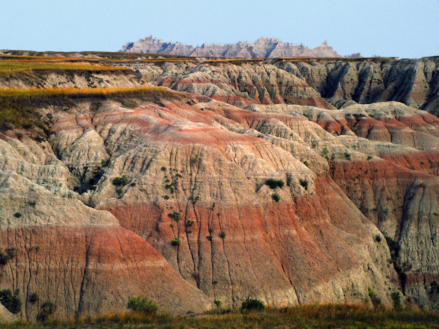
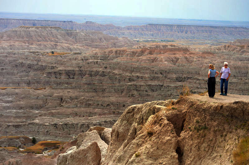
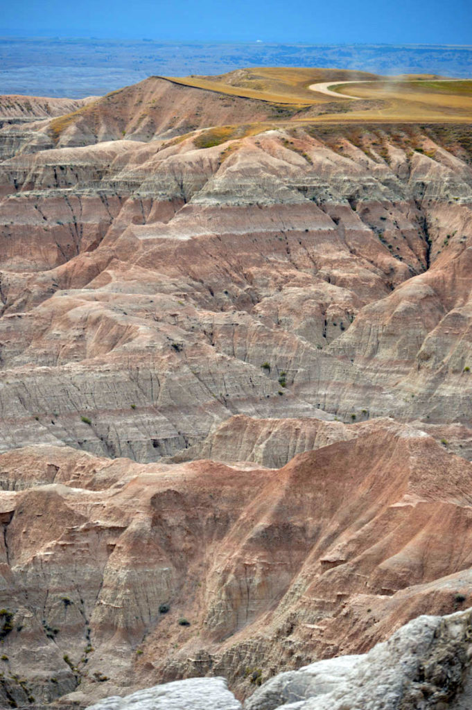
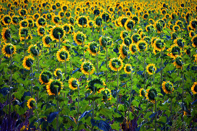
Leaving the area one sees acres of Sunflowers about the only crop.
__________
CUSTER STATE PARK in the BLACK HILLS
From The Badlands one can see to the west the outline of the Black Hills Mountains on the horizon.
But why are they called “black” when the predominant color is white granite ?
The name “Black Hills” is a translation of the Lakota Pahá Sápa. The hills were so-called because of their dark appearance from a distance across the grasslands which surround this isolated range of mountains. The highest point is Black Elk Peak (formerly known as Harney Peak), which rises to 7,244 feet.
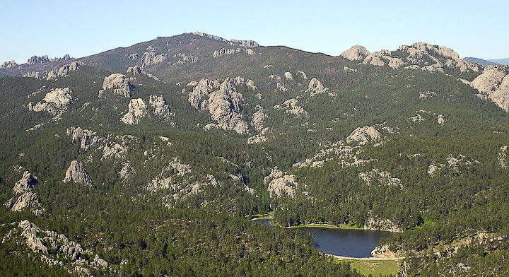
The northern part of the Black Hills are an unprotected landscape and last time I visited twenty years ago I found it to be very commercial with roadside attractions, billboards and phony shootouts in Deadwood every day at 6pm for the tourists. Thankfully the southern part was protected sometime in the early part of the century and grew in the nineteen twenties and thirties-being the summer white house for Calvin Coolidge in 1927.
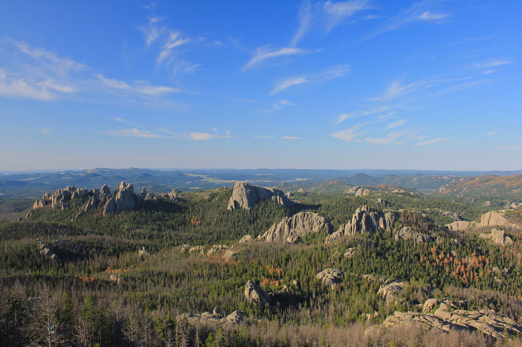
Native Americans have a long history in the Black Hills. After conquering the Cheyenne in 1776, the Lakota took over the territory of the Black Hills, which became central to their culture. In 1868, the U.S. government signed the Fort Laramie Treaty, establishing the Great Sioux Reservation west of the Missouri River, and exempting the Black Hills from all white settlement forever. However, when settlers discovered gold there in 1874 miners swept into the area in a gold rush. The US government took back the Black Hills and in 1889 reassigned the Lakota, against their wishes, to five smaller reservations in western South Dakota, (Pine Ridge) selling off 9 million acres of their former land.
The conflict over control of the region sparked the Black Hills War of 1876 also known as the Great Sioux War, the last major Indian War on the Great Plains. Following the defeat of the Lakota and their Cheyenne and Arapaho allies in 1876, the United States took control of the Black Hills in violation of the Treaty of Fort Laramie. The Lakota never accepted the validity of the US appropriation and have continued to try to reclaim the property. In 1980 the Supreme Court of the United States ruled that the Black Hills were illegally taken by the federal government and ordered remuneration of the initial offering price plus interest of nearly $106 million. The Lakota refused the settlement, as they wanted the Black Hills returned to them. The money remains in an interest-bearing account, which, as of 2015, amounts to over $1.2 billion, but the Lakota still refuse to take the money. They believe that accepting the settlement would allow the US government to justify taking ownership of the Black Hills. (Condensed from the Wikipedia entry on this subject).
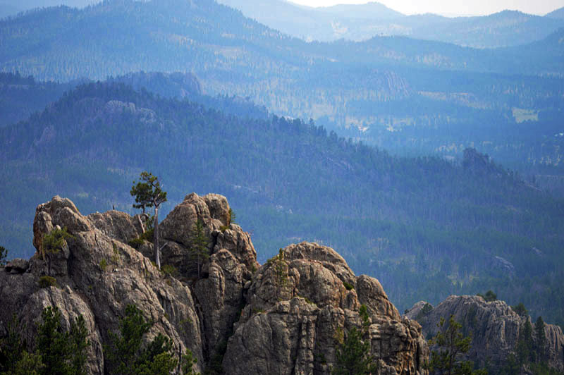
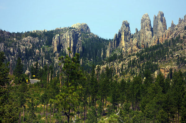
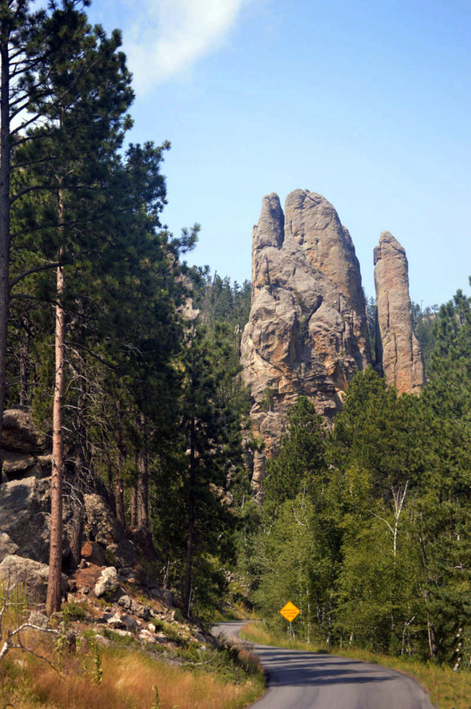
The narrow roads meander like a car commercial with hairpin bends and tunnels through the rock.
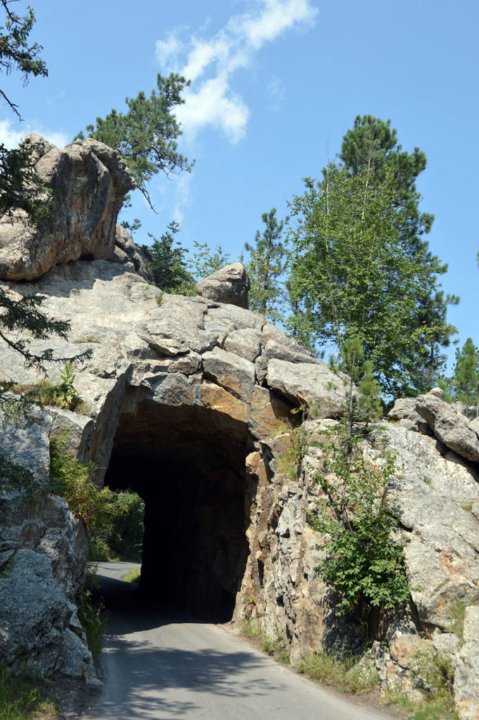
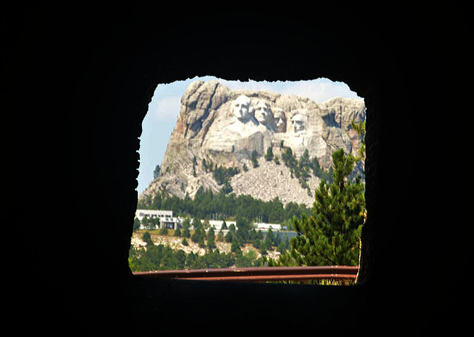
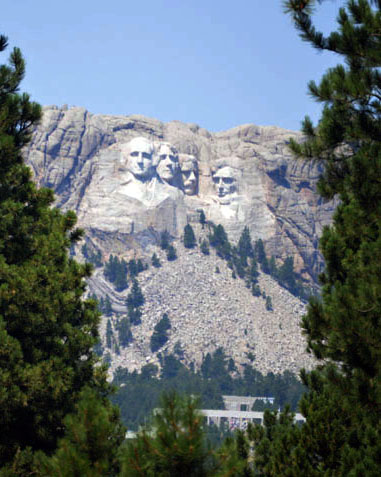
Below– One such tunnel in the northern part of the park opens to this vista of Mount Rushmore.
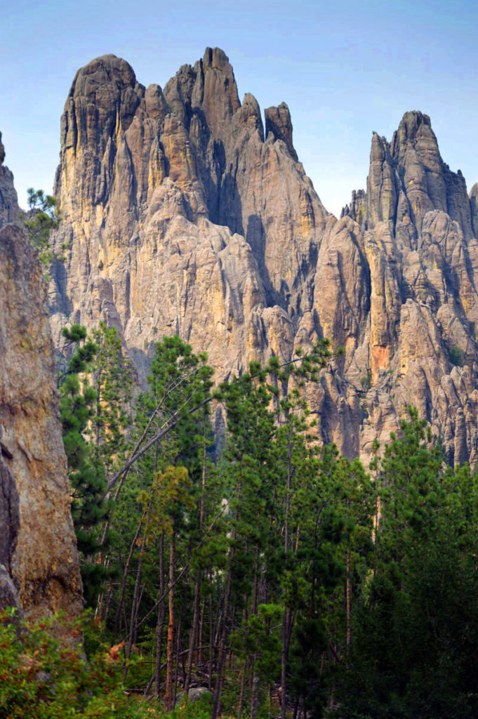
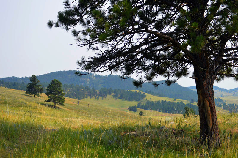
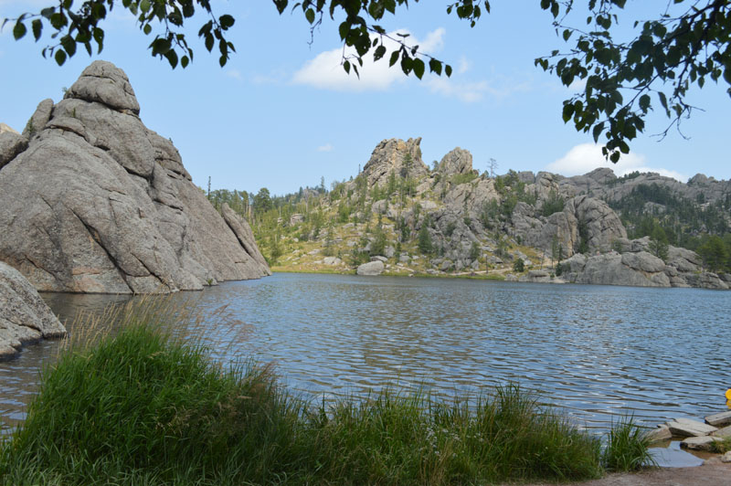
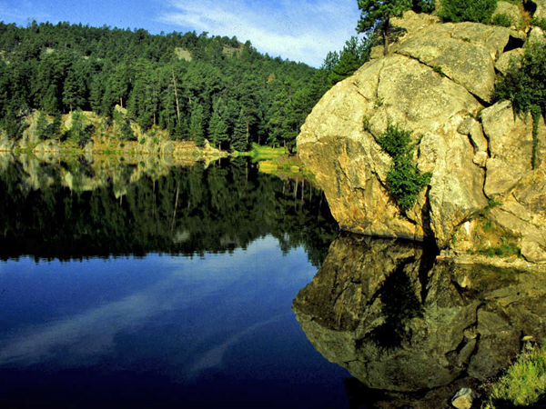
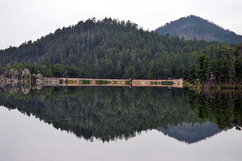
Below– The northern part of the park is has granite peaks, blue lakes with deep Ponderosa Pine forests. The southern part tapers away to grassland and prairie.
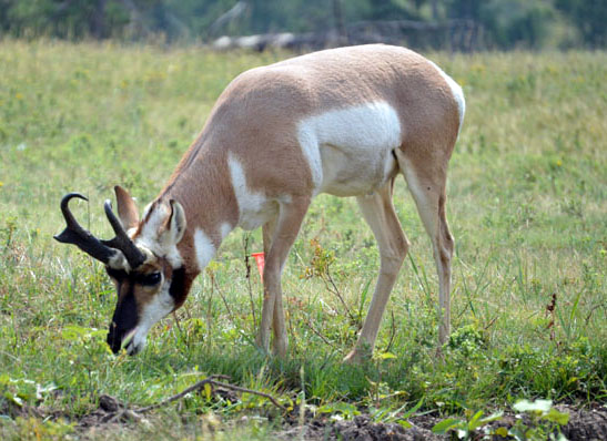
A herd of 1,300 bison roams freely throughout the park especially along the 18-mile Wildlife Loop Road. The herd is one of the largest publicly-owned herds in the world. Historically, the animal played an essential role in the lives of the Lakota (Sioux), who relied on the “tatanka” for food, clothing and shelter. Besides bison, the park is home to pronghorn antelope (below), mountain goats, bighorn sheep, deer, elk, and wild turkeys.
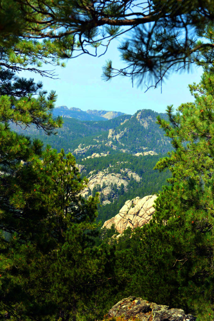
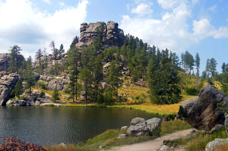
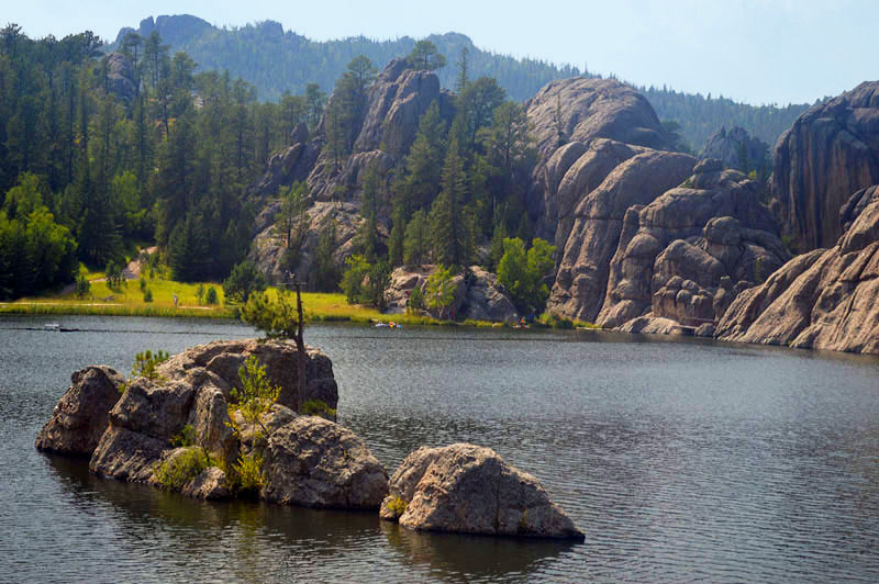
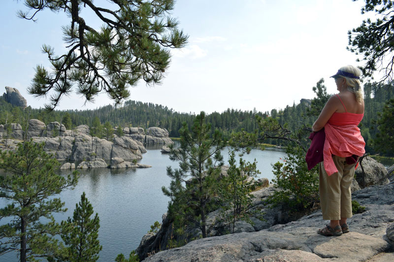
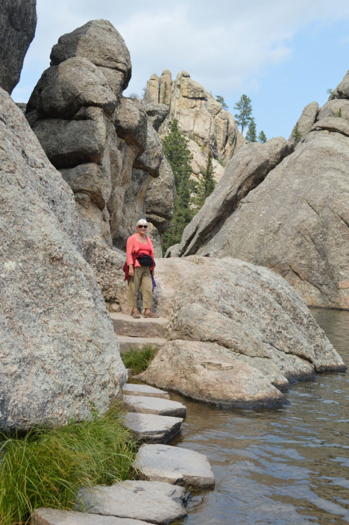
Above and below Sylvan Lake.
Next the Big Horn Mountains of Wyoming.