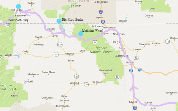
THE BIG HORNS MOUNTAINS
Oct 2017
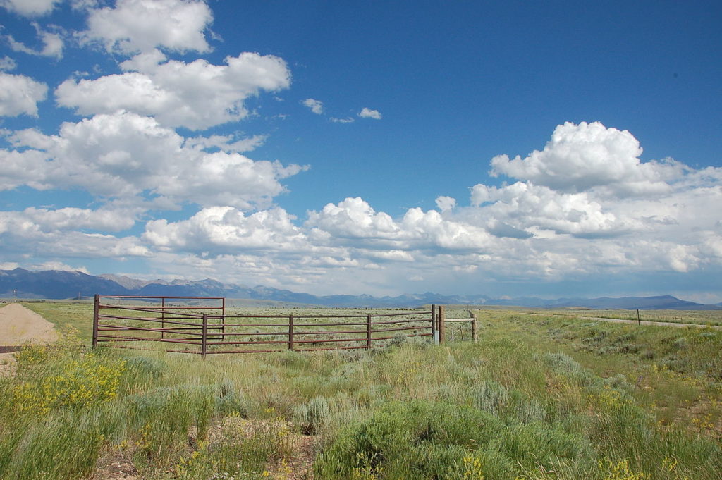
The drive from The Black Hills to The Big Horn Mountains across the Thunder Basin Grassland in the Powder River basin was disappointing. What was once part of the great grasslands that provided Buffalo to the Native Americans is now sadly oil derricks, fences, poverty and open coal mining operations with long miles of coal trains like snakes across the prairie. One could find perhaps a nice shot (like the one above from Wikipedia) but in all I found little of visual interest.
BUT …once beyond all this near the town of Sheridan- The Big Horn Mountains rise up 10,000 feet.
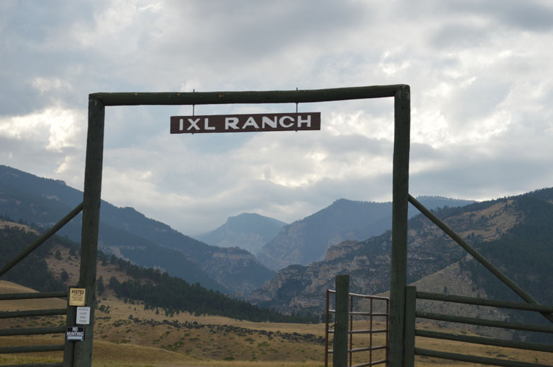
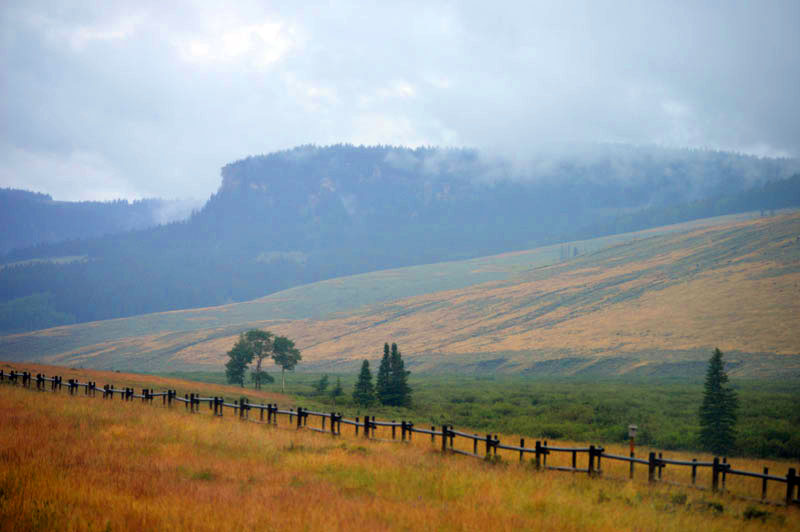
At this altitude one is in the clouds much of the time. Unlike the basins below, it is rarely hot up there.
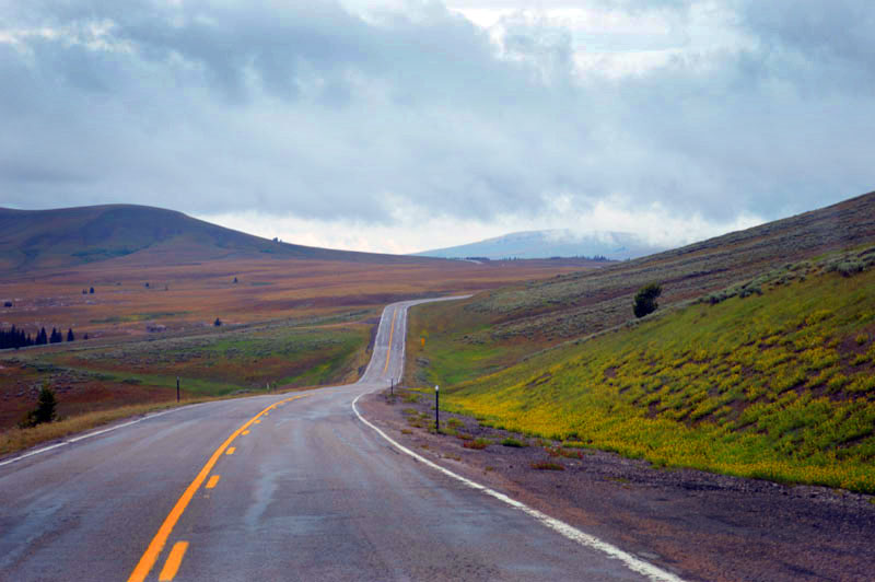
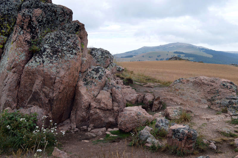
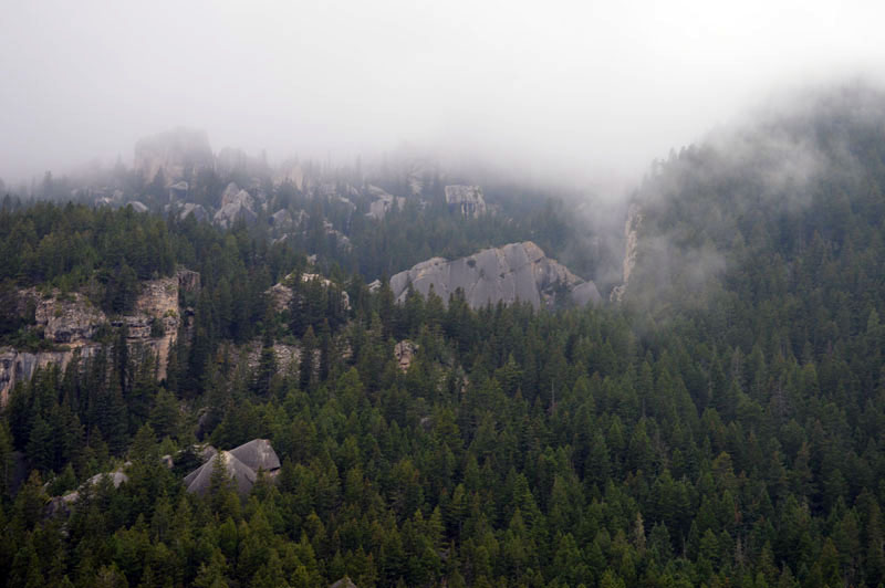
Above-A view looking toward Medicine Mountain.
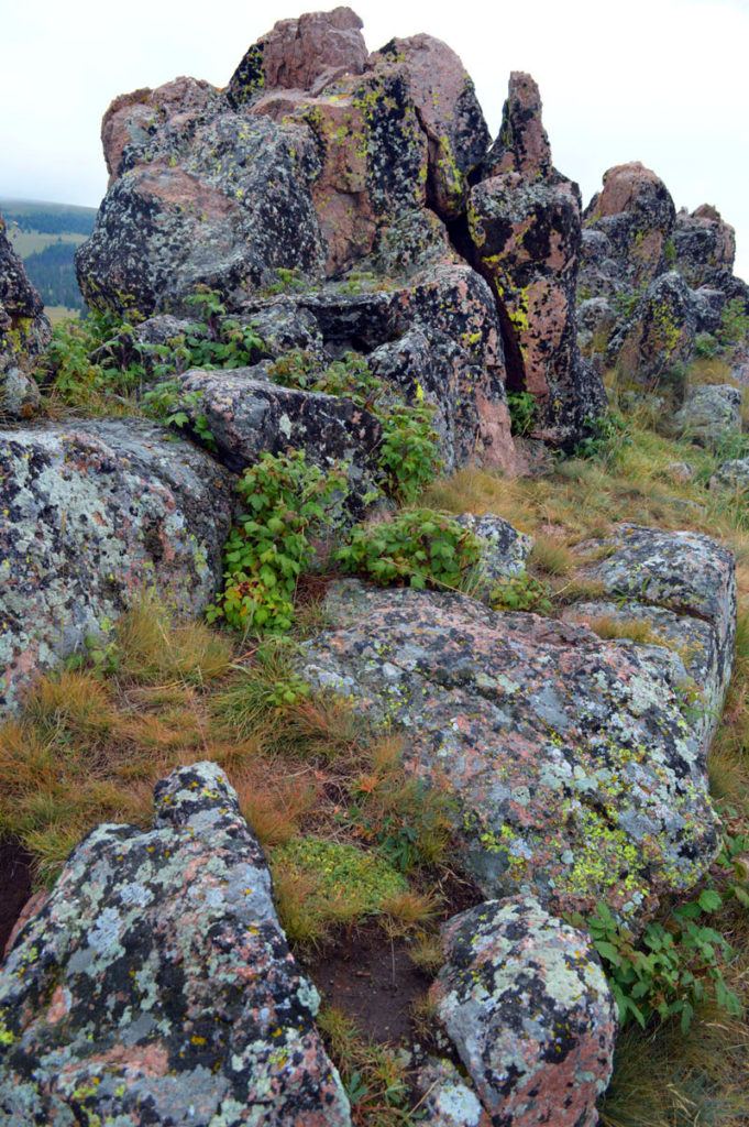
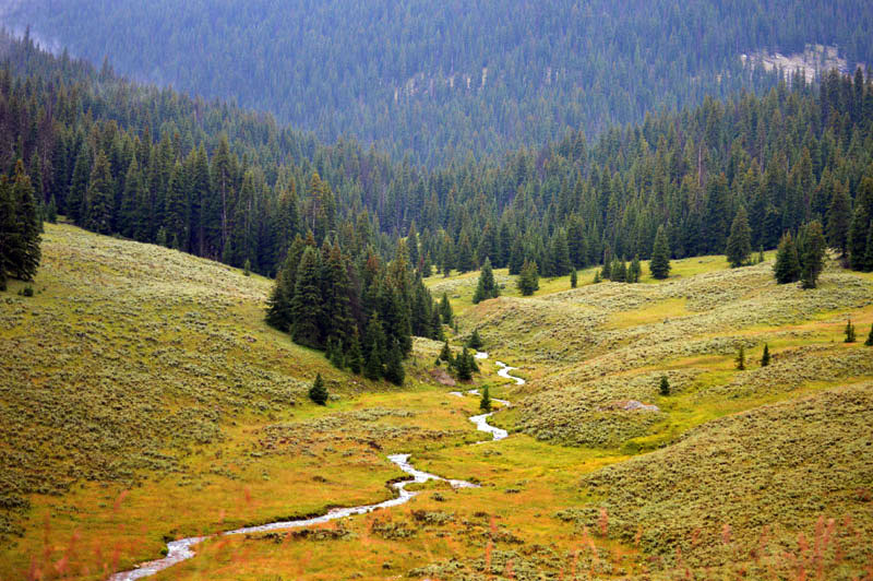
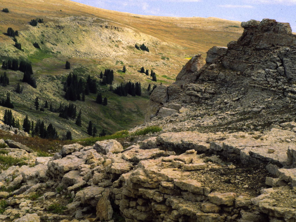
Twenty years ago it was instead a sunny and warm day when we went to the Medicine Wheel which is a stone solar design in rocks that sits at 9500 feet on Medicine Mountain. No cars are allowed and there is a significant hike uphill in to the area. This years visit it was barely above freezing- so passed on that opportunity.
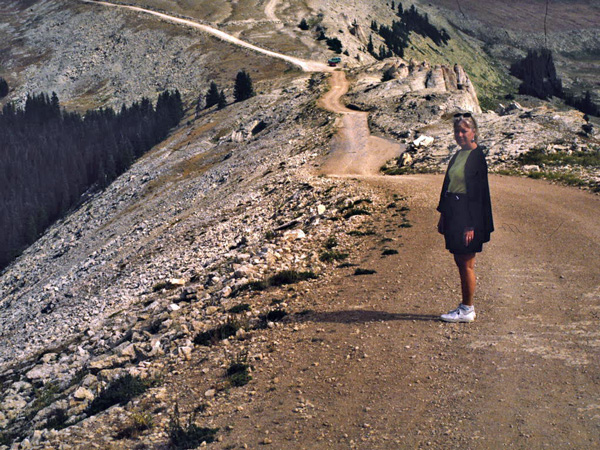
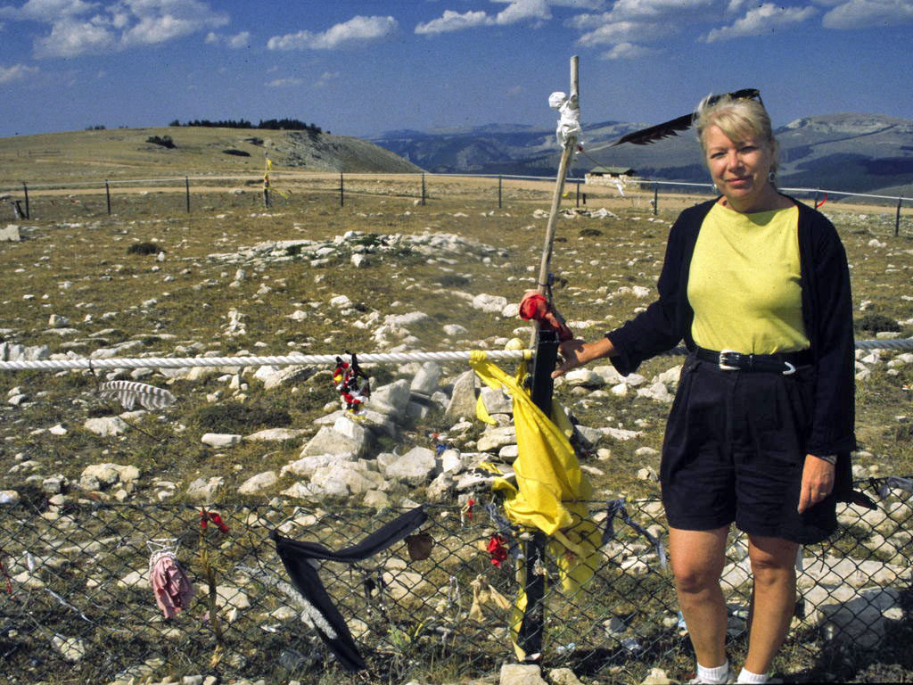

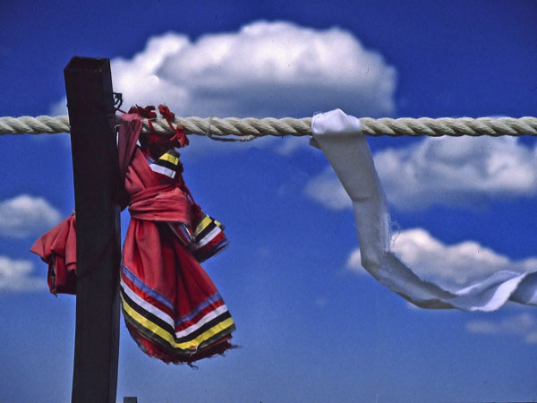
No indigenous people have publicly claimed to have built the Big Horn Medicine Wheel. The Crow have stated that the Wheel was already present when they came into the area. Oral history from several indigenous nations sets the Big Horn Medicine Wheel as already existing, having been built by “ancient ancestors”. For centuries, the Bighorn Medicine Wheel has been used by Crow youth for fasting and vision quests. Native People also go to Bighorn to offer thanks for the creation that sustains them, placing a buffalo skull on the center cairn as a prayer offering. Prayers are offered here for healing, and atonement is made for harm done to others and to Mother Earth. (Wikipedia)
Below– On the eastern edge we descended into the clouds with glimpses of red rock far down below.
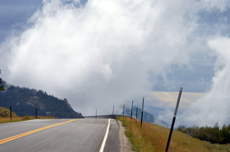
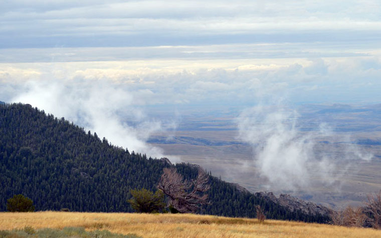
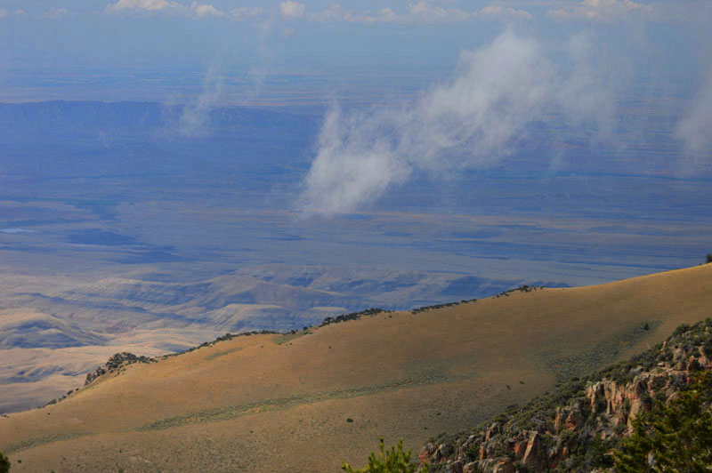
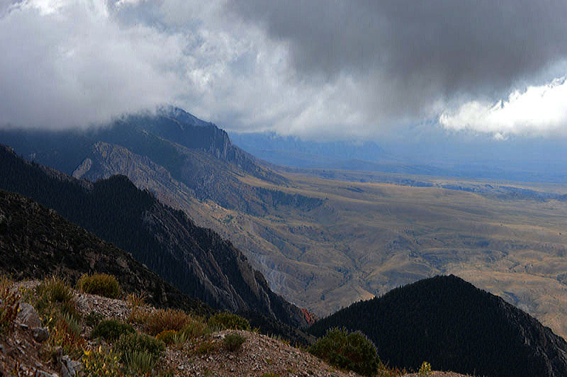
Looking south along the rim of The Bighorns as one descends into the Bighorn Basin
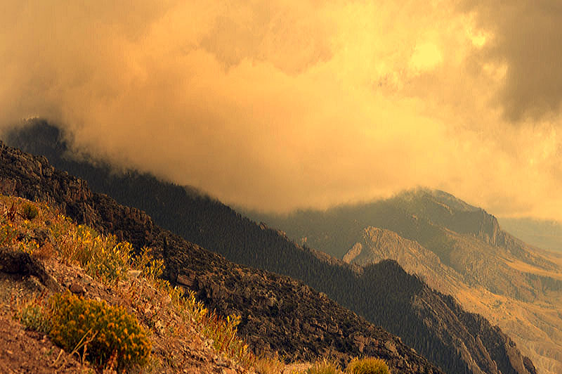
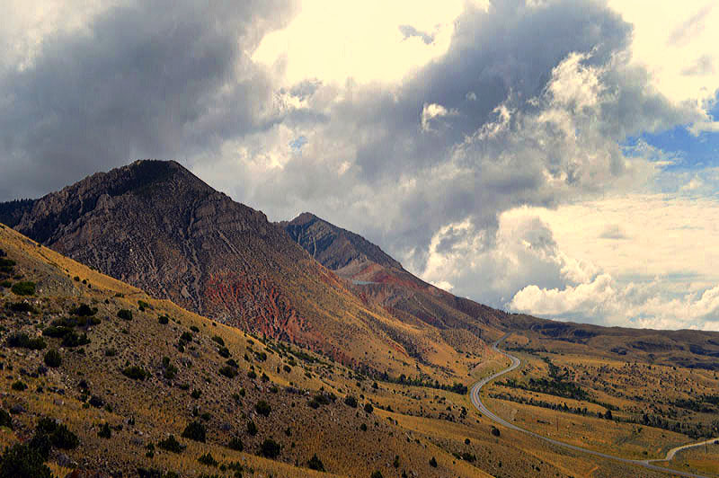
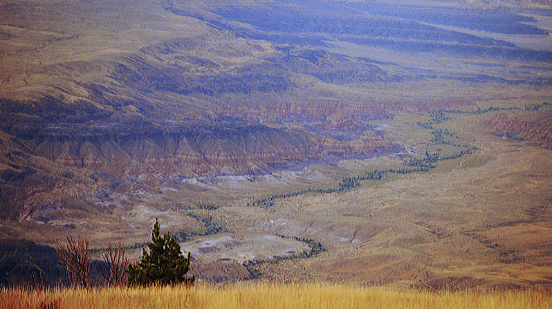
Above and below-Looking down on The Bridger Mountains which form the southern edge of the basin.
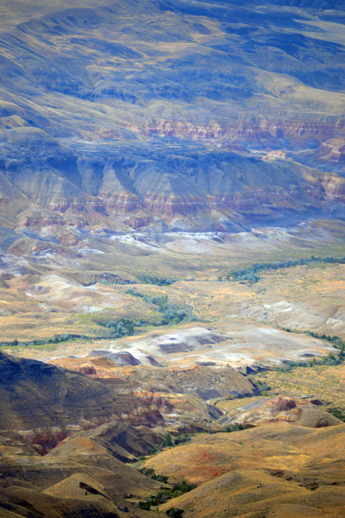
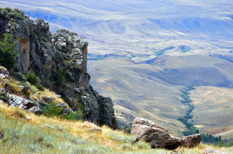
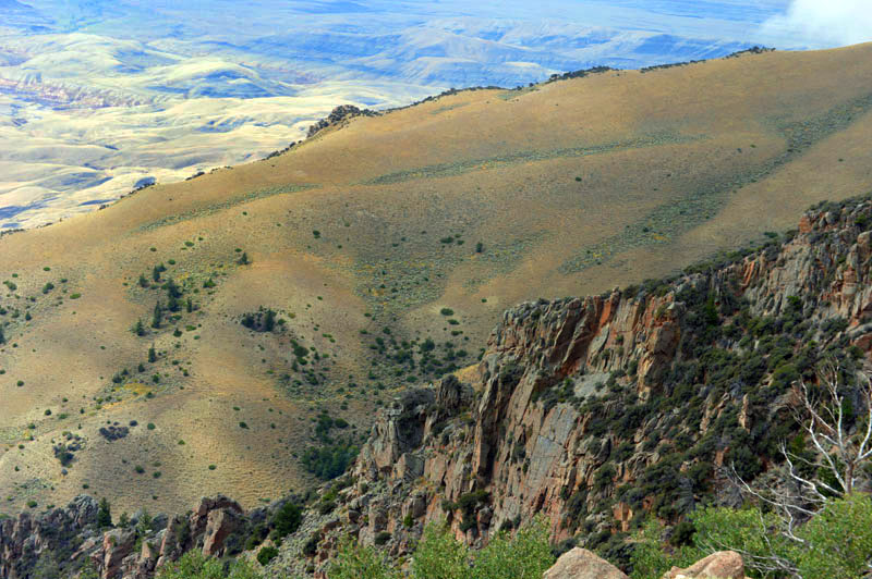
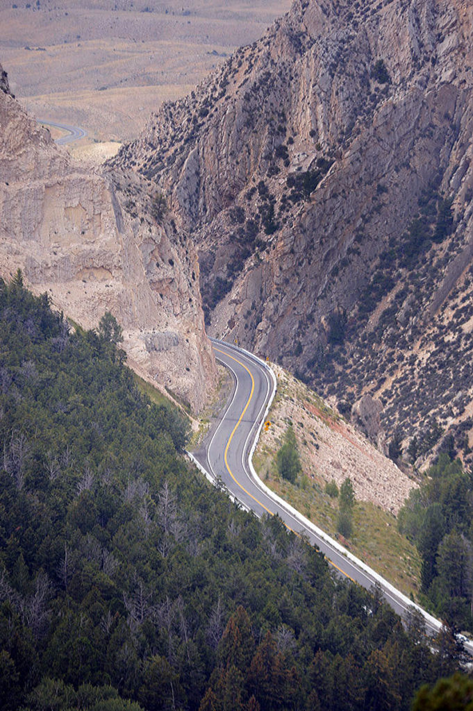
One descends westward into The Bighorn Basin National Monument.
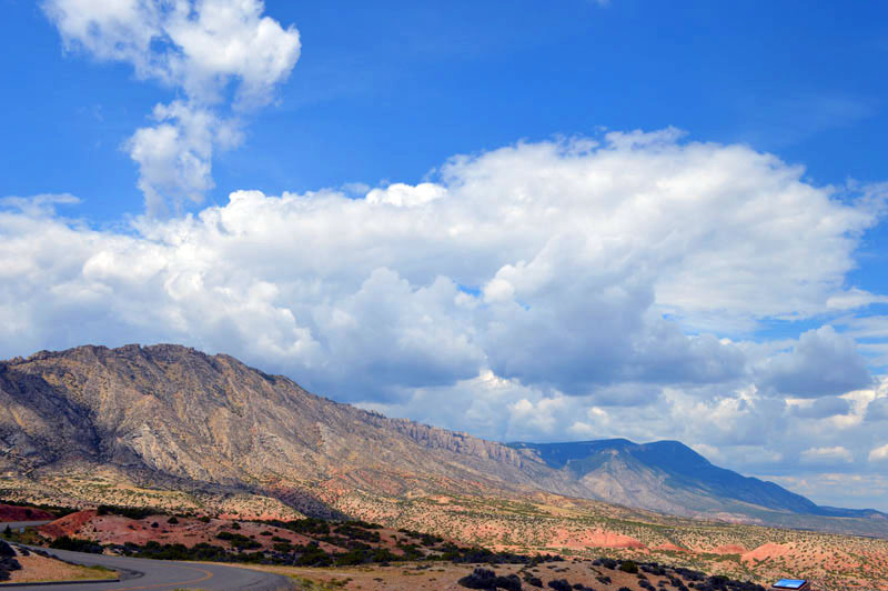
Above -the Pryor Mountains form the western edge of the basin.
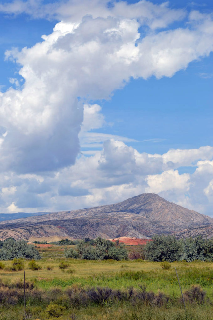
Below- The road leaves the campground to go north for a short distance before ending. There is much wilderness beyond that point.
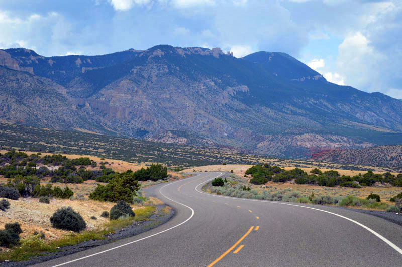
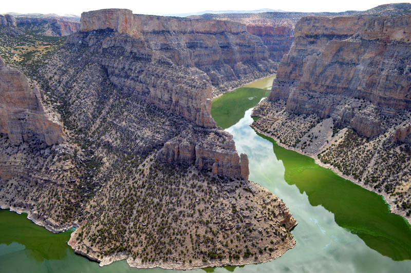
Below- Views of Devils Overlook and the Bighorn River.
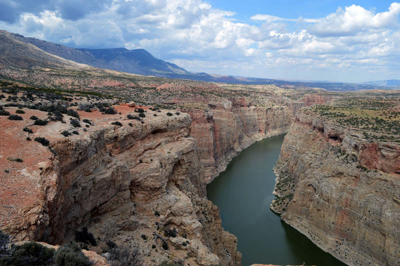
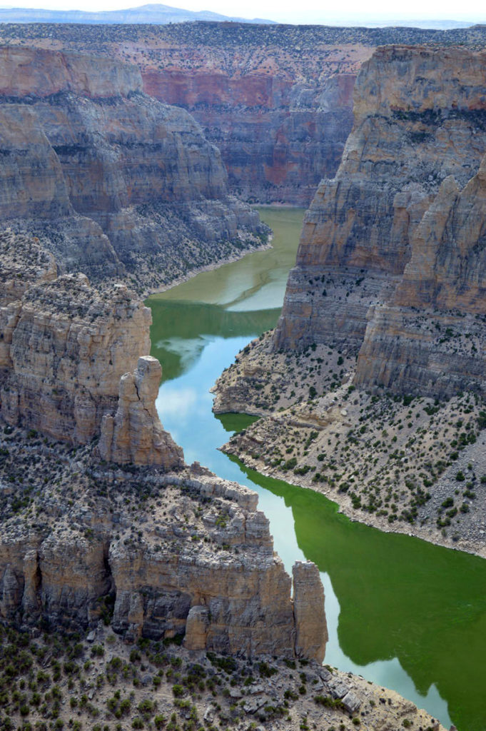
Below -To the left you see a side canyon- now filled in which was once a meander in the river now cut off by the new course. The river was green I think because of algae bloom due to low summer flow. There is a dam upstream.
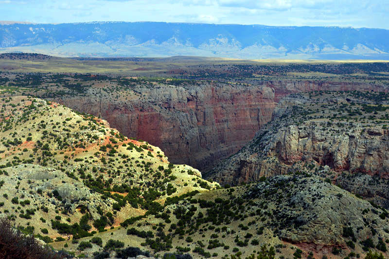
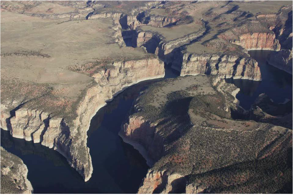
Above-aerial view courtesy NPS
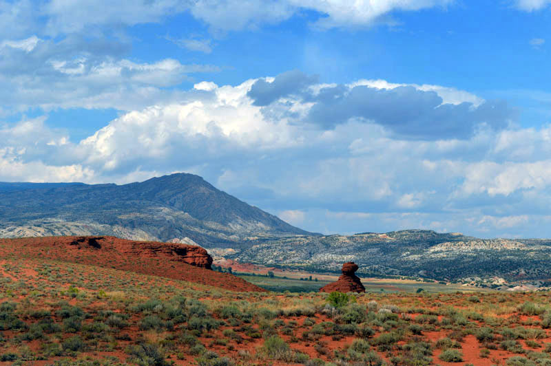
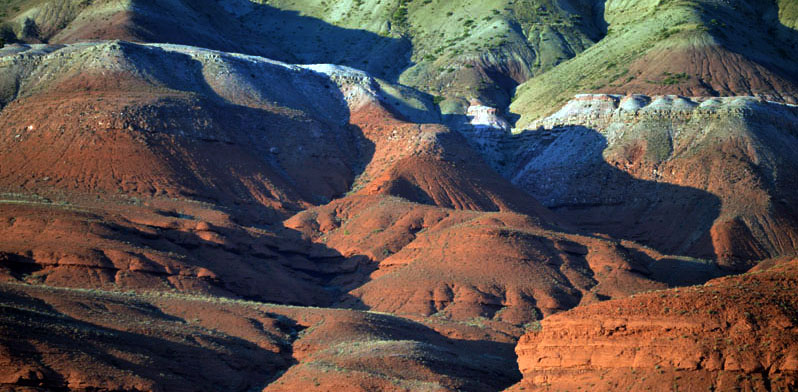
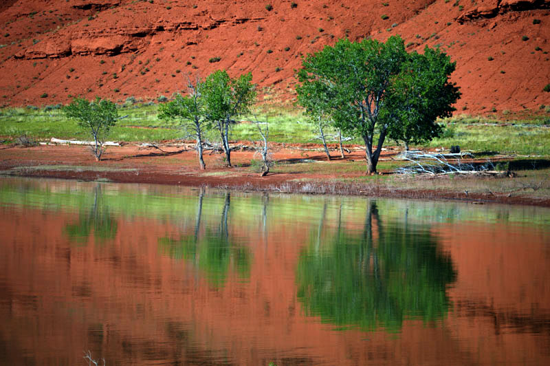
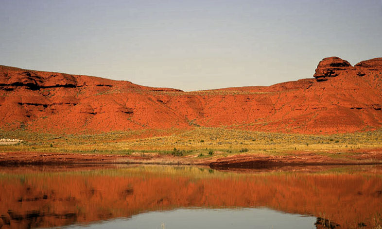
Above and below-Red rock surrounds the campground.
NEXT 13. The Beartooth Highway and Yellowstone.