CAPITOL REEF NATIONAL PARK
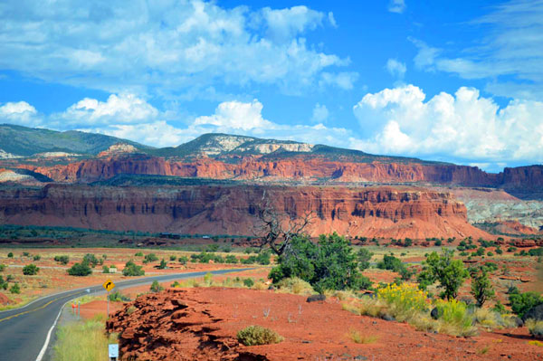
From the heights of Boulder Mountain at over 9000 feet we descended into the red rock country of Capitol Reef National Park. It is literally a reef. A wrinkle in the Earth’s crust stretching nearly a hundred miles in length. It is an uplift -a monocline where what little water there is all runs in one direction into what is called the Waterpocket fold eventually emptying into Lake Powell far to the south.
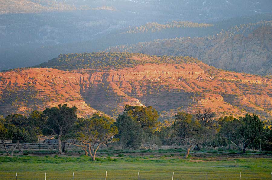
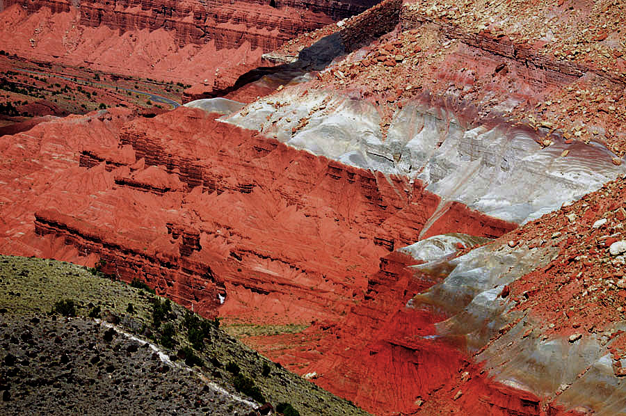
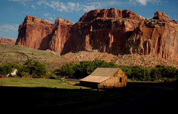
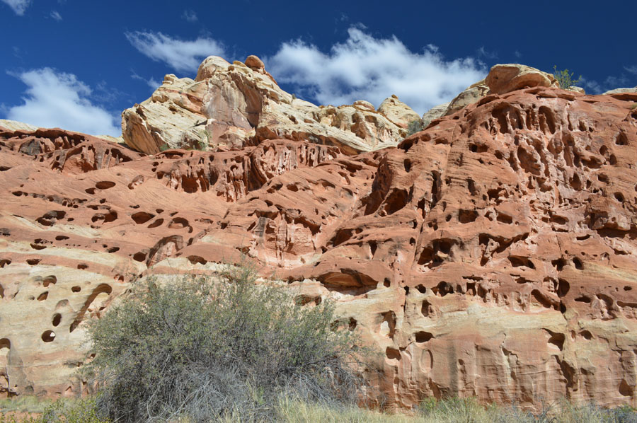
Above-After driving through the gray green suddenly it all turns red and dramatic.
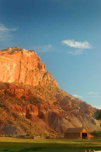
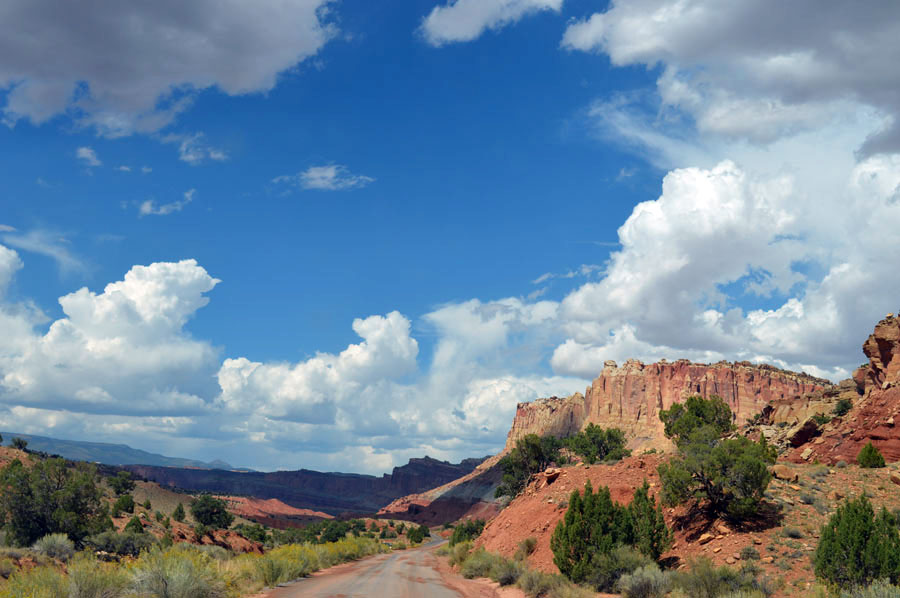
Below– The Fremont River cuts through this canyon and makes the town of Fruita and it’s fruit trees possible.
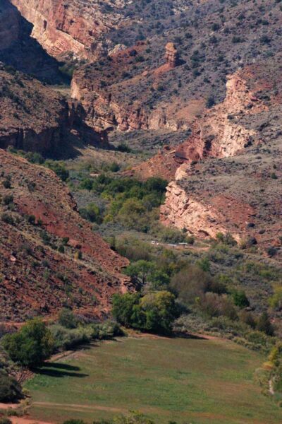
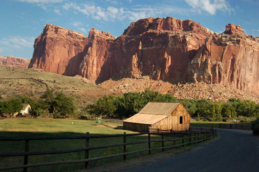
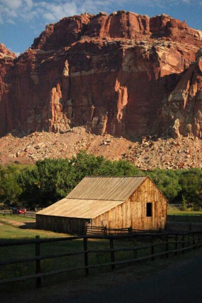
Below the Park is situated where the old Mormon settlement of Fruita. Suddenly amid all the dry harsh barren rock is a fertile green oasis watered by the Fremont River.
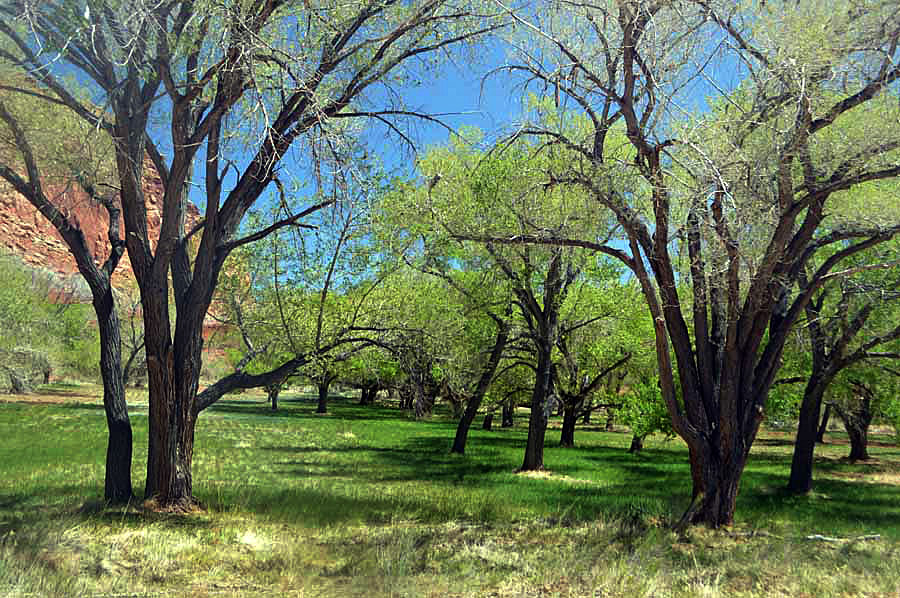
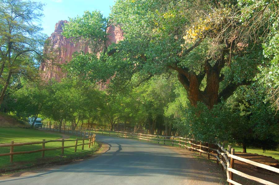
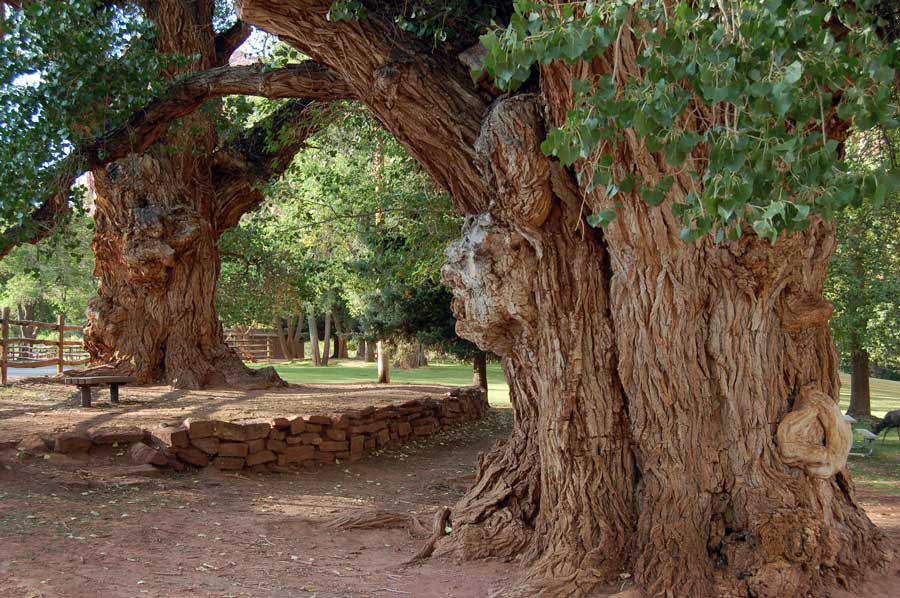
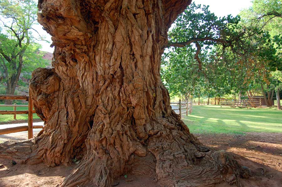
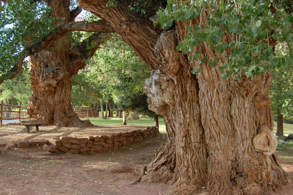
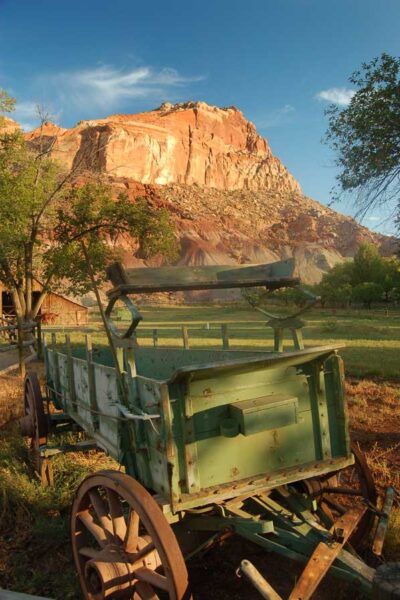
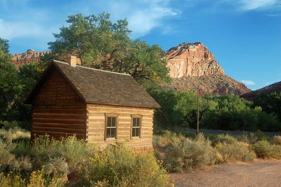
Remains of the town survive in barns some houses and the old school. Giant hundred year old cottonwood trees guard the entrance to the park. The very remote town was established in the 1880’s and the early settlers built drainage canals to bring water for the orchards. By the late nineteen forties the community was fading away and by then the Park Service had begun acquiring the properties for the park.
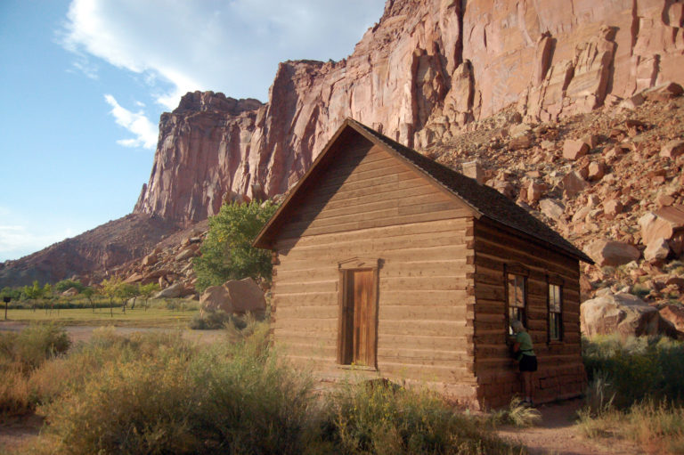
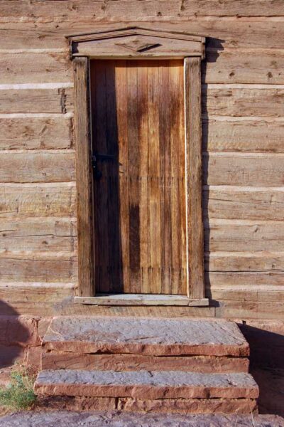
Above and below-the old schoolhouse.
![]()
 _____________________
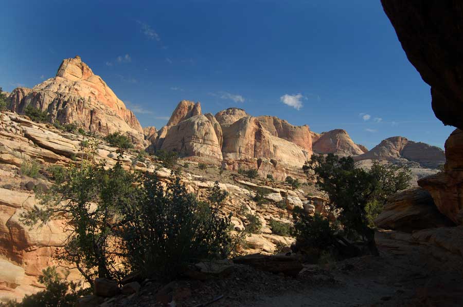
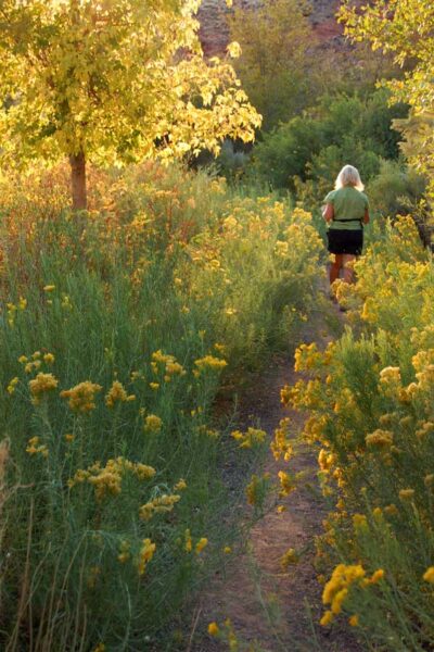
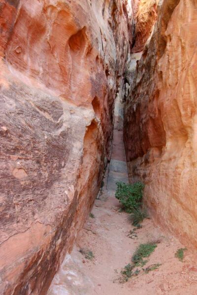
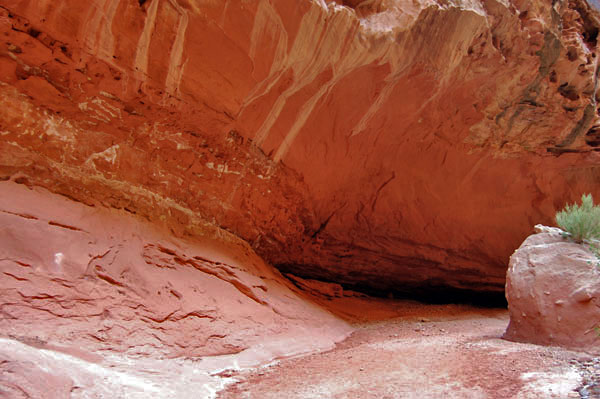
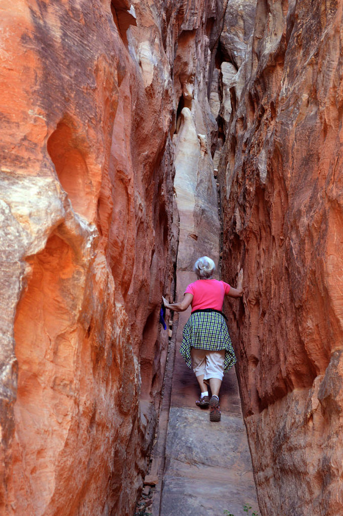
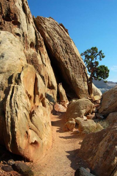
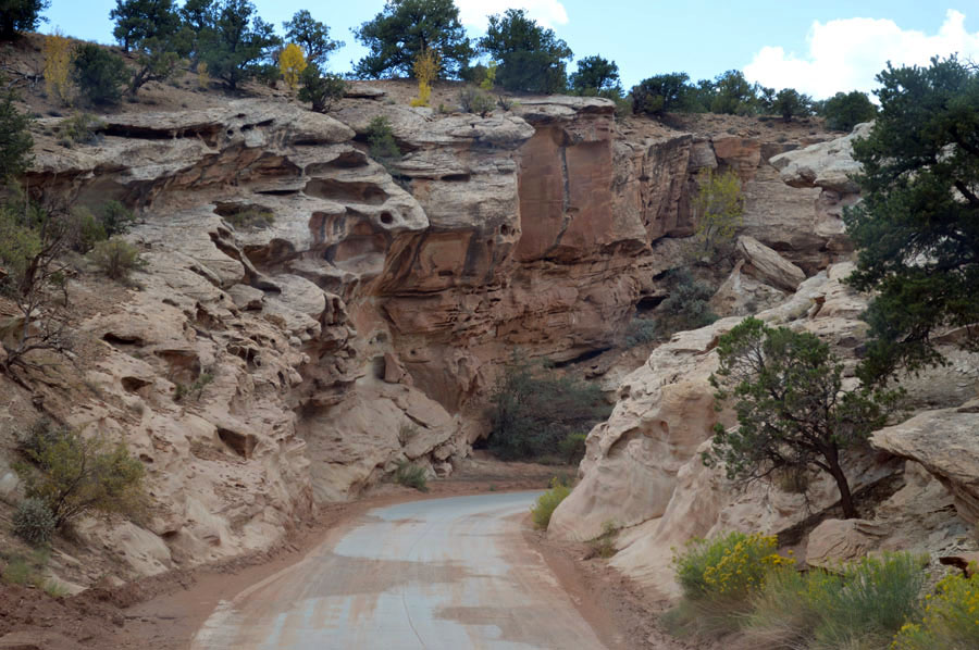
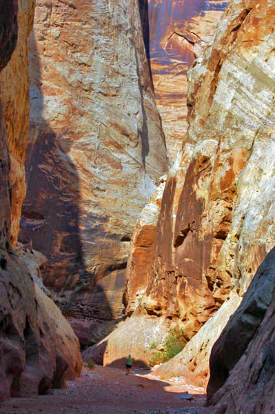
COHAB CANYON is above the campground…. It seems rarely visited by the campers below, maybe because it’s a steep climb of about 500 feet taking one to the hidden entrance to the canyon.
![]()
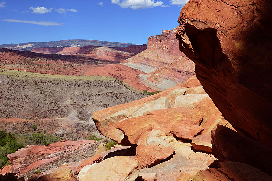
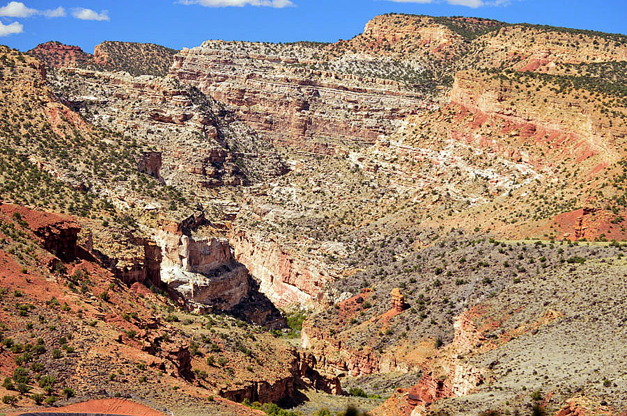
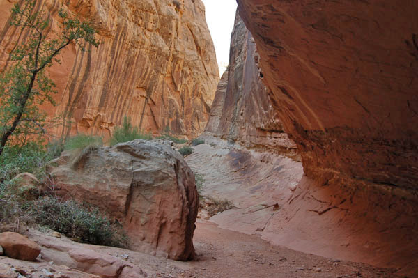
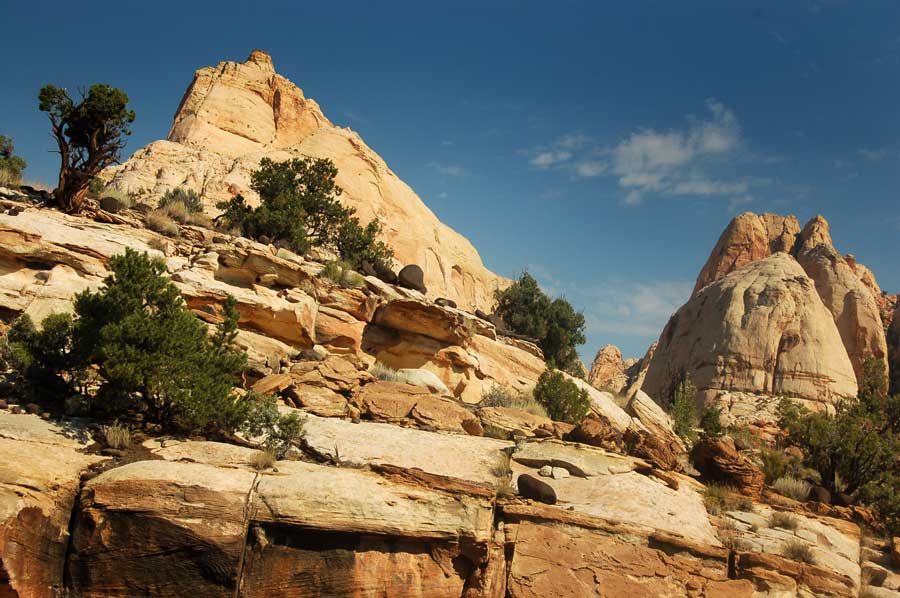
Above– This grand view awaits at the top. Here looking northward along the fold.
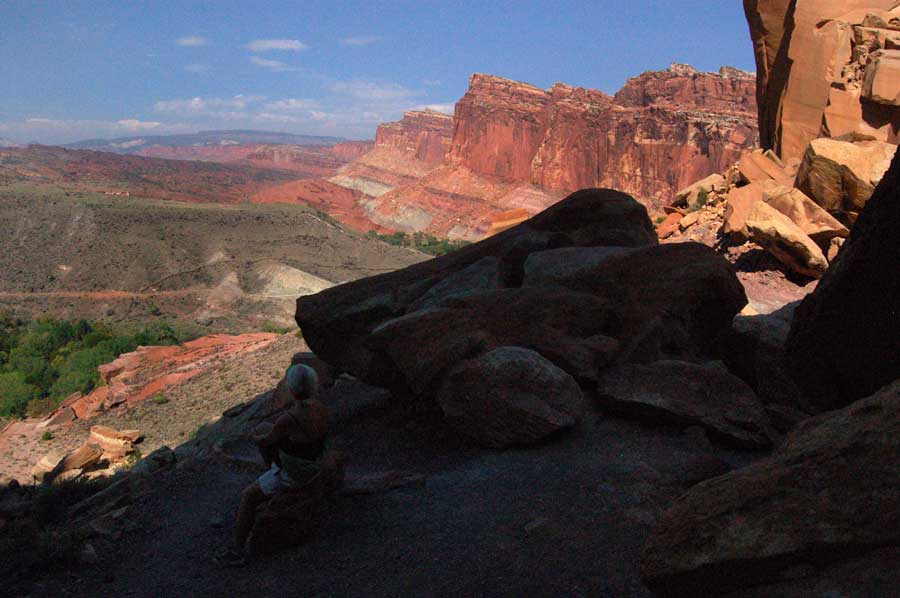
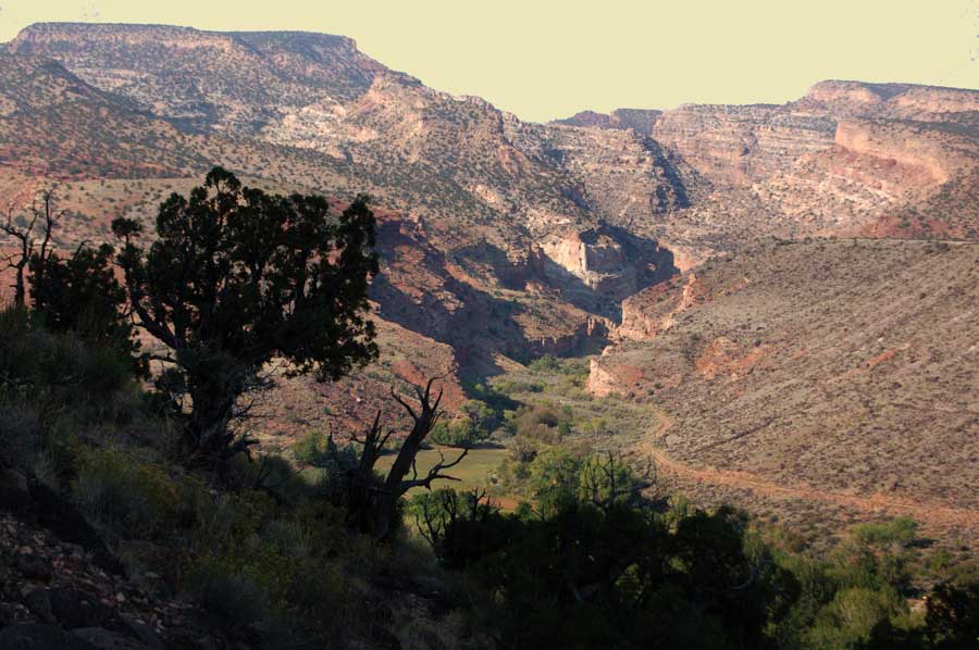
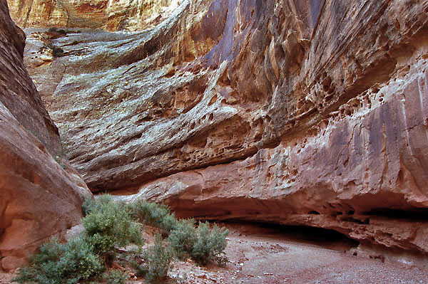
Below- The canyon then begins winding its way downward toward the river which is to the east.
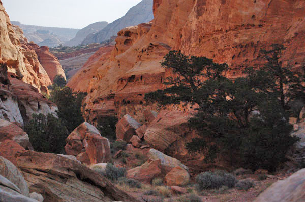
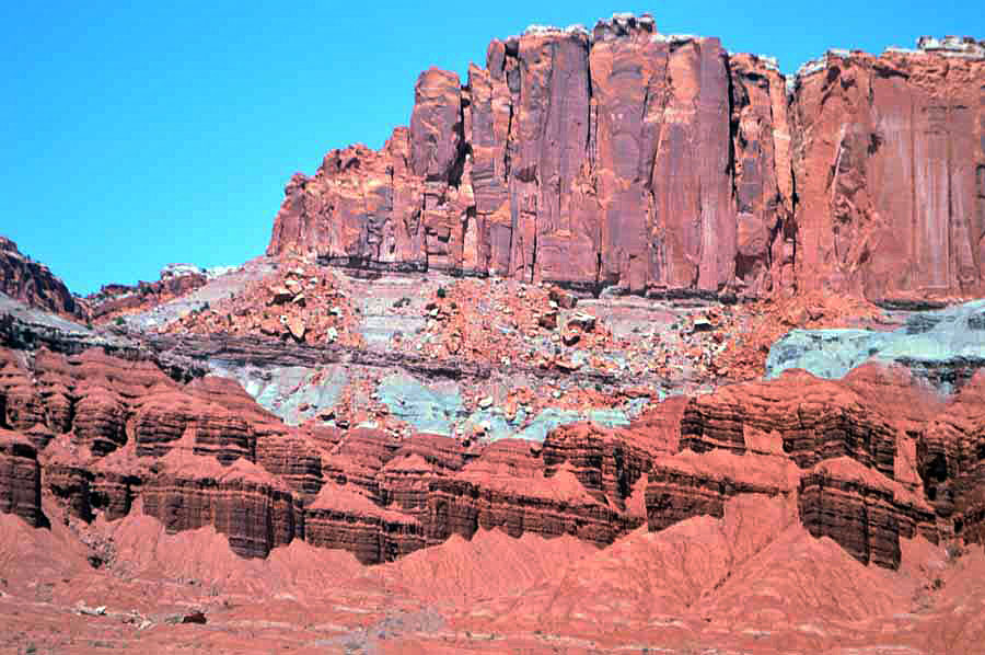
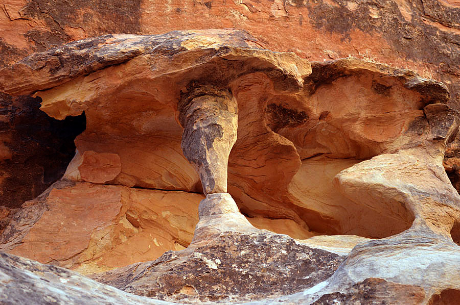
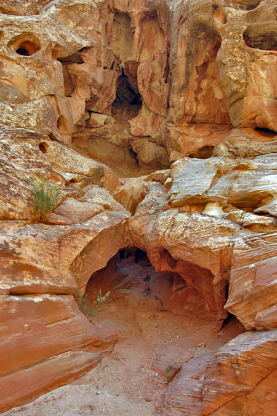
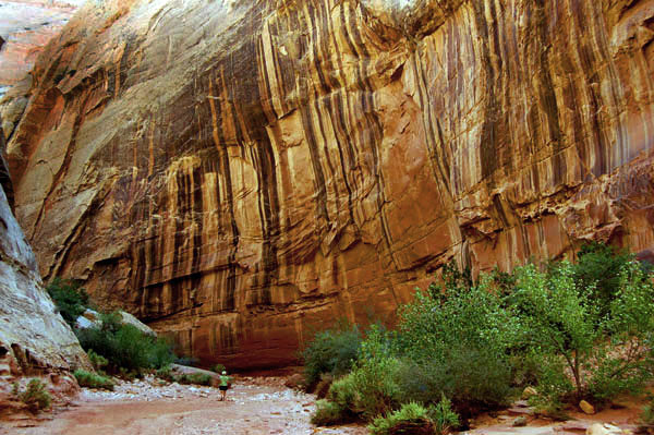
Once inside all manner of strange shapes eroded by ages of time. Wind and rain slowly eroding the sandstone that itself was laid down over aeons of time in vast sand dunes that once covered this area. Those dunes were then subsumed by the ocean and then pushed up one mile into the air by collisions of plates then eroded by weather into what we see today.
![]()
![]()
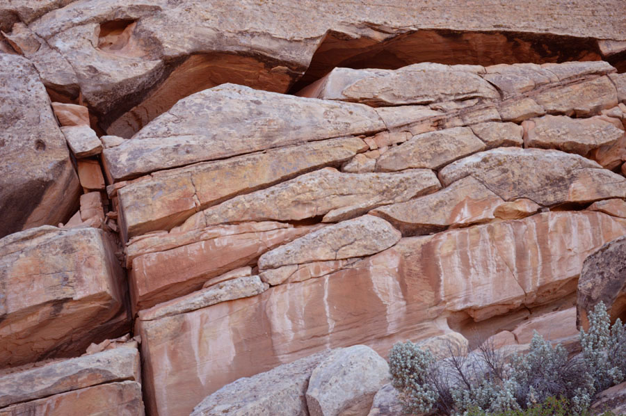
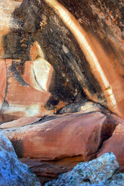
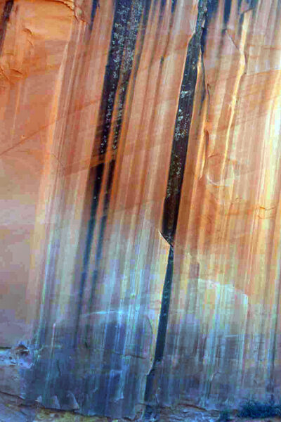
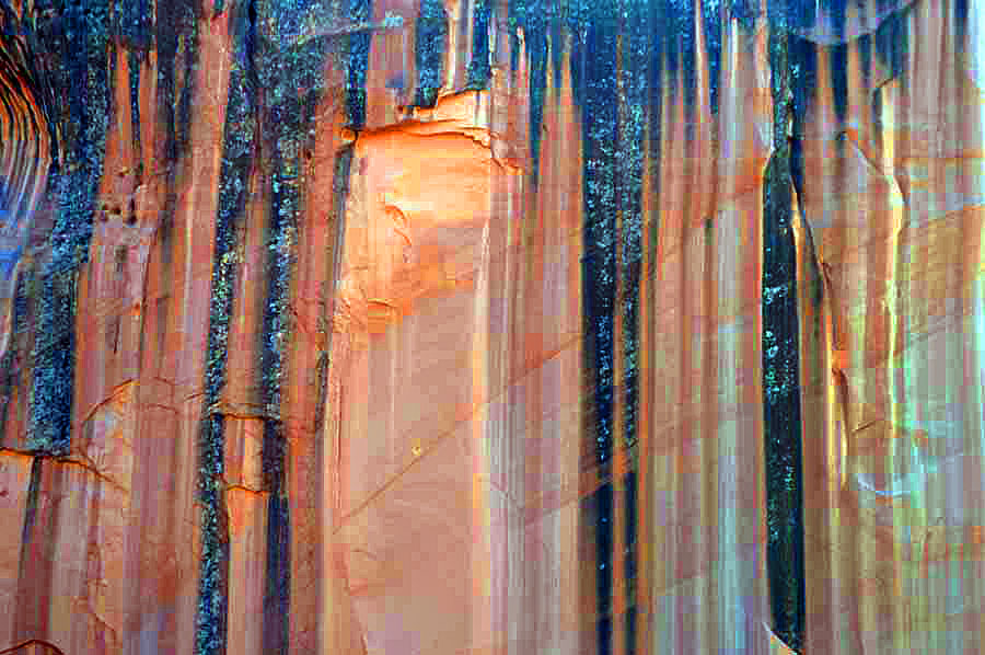
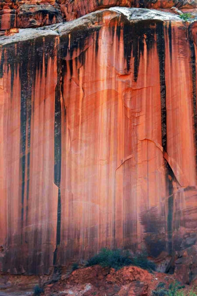
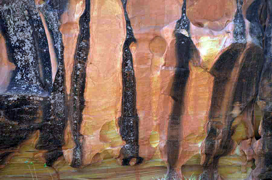
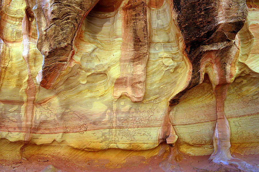
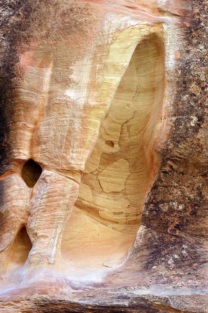
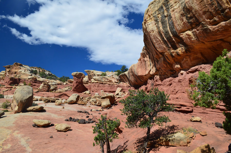
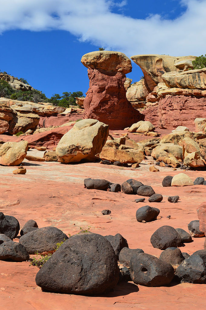
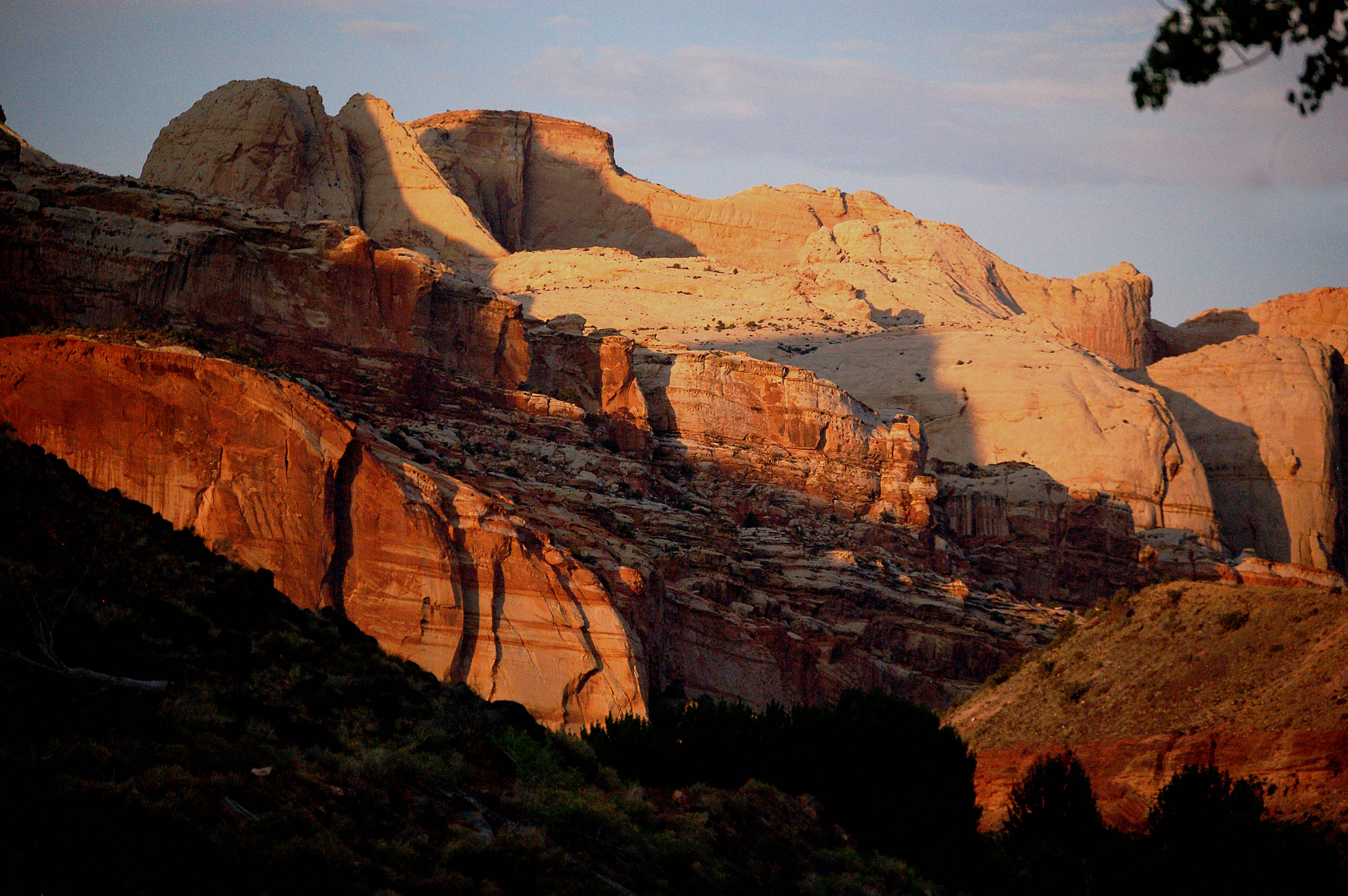
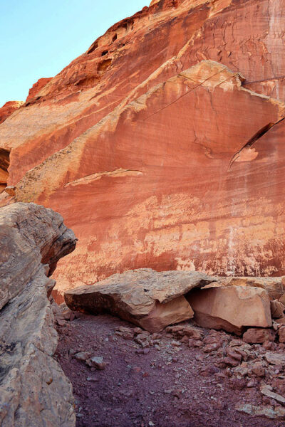
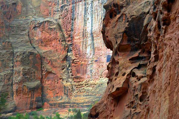
Above one can clearly see the colored layers of sandstone laid down during different epochs of time. The black boulders are probably volcanic debris thrown out from volcanoes into the dunes then the the sandstone eroded around them.
_______________
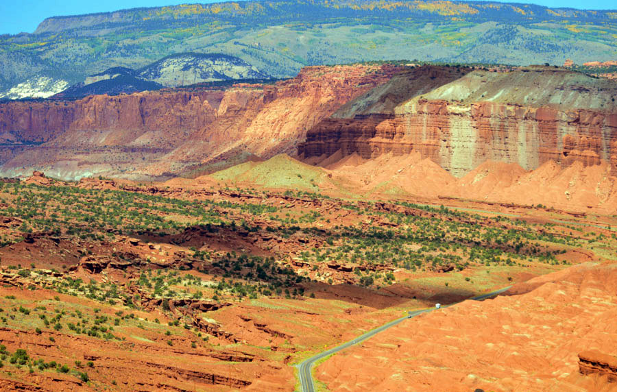
Below-Following the waterpocket fold southward toward The Grand Wash.
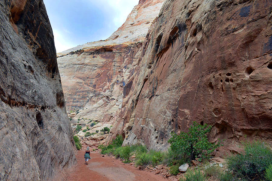
Above–The Grand Wash an early route through the “reefs”of red rock.
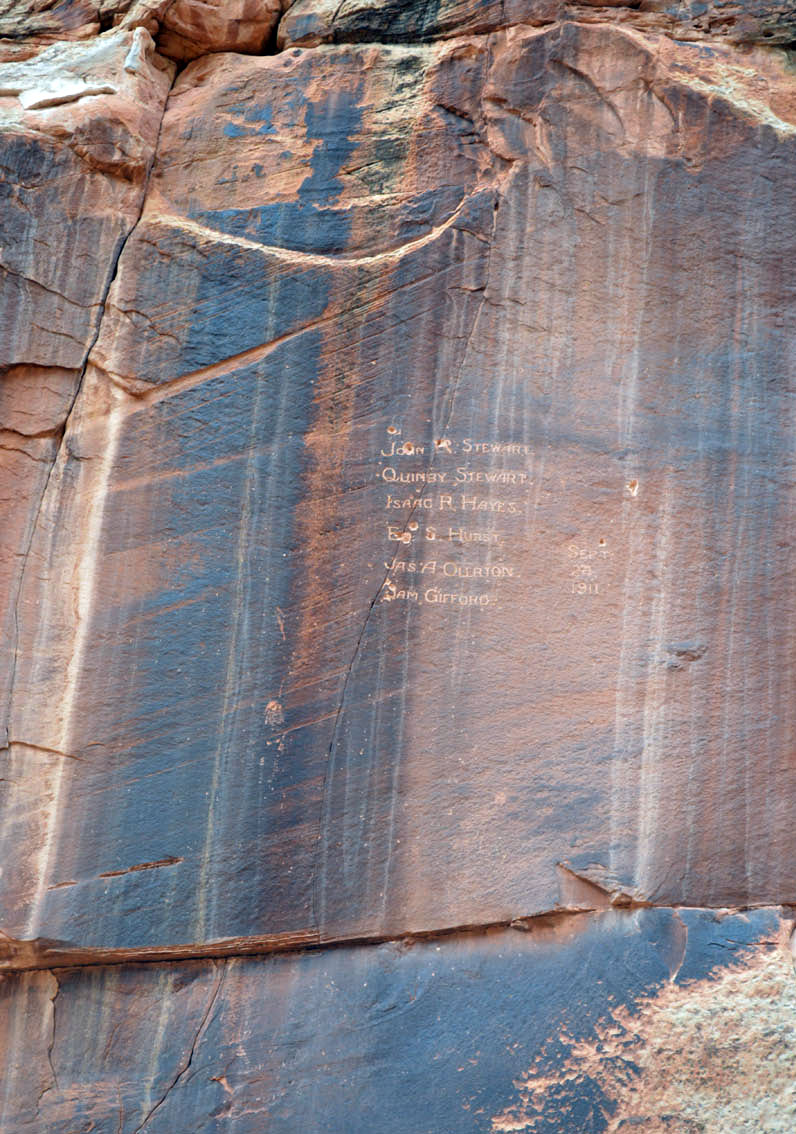
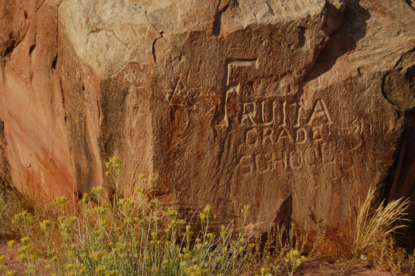
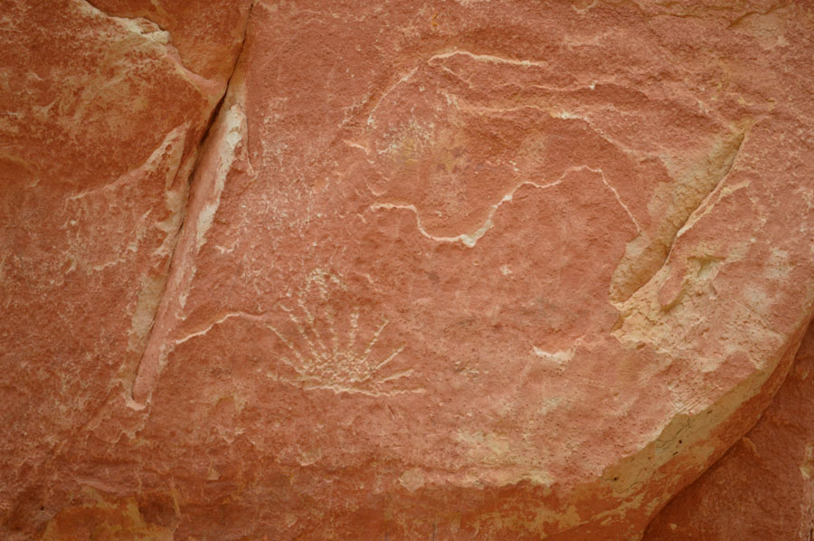
Above-Early pioneers left their names on the rock walls. Below-Even earlier natives left their marks also.
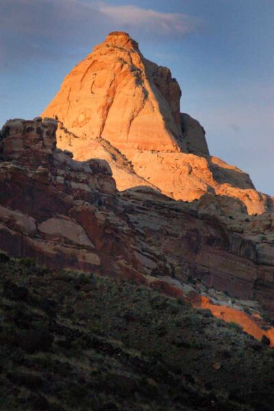
Below The Capitol Dome at sunset from which the Park takes it’s name.