Leaving Capitol Reef heading south one crosses 9000 foot high Boulder mountain. One may go from hot to very cool and even snow.
Utah Scenic Byway 12 traverses the eastern side of the mountain from Torrey (near Capitol Reef) through Boulder and on to Escalante.
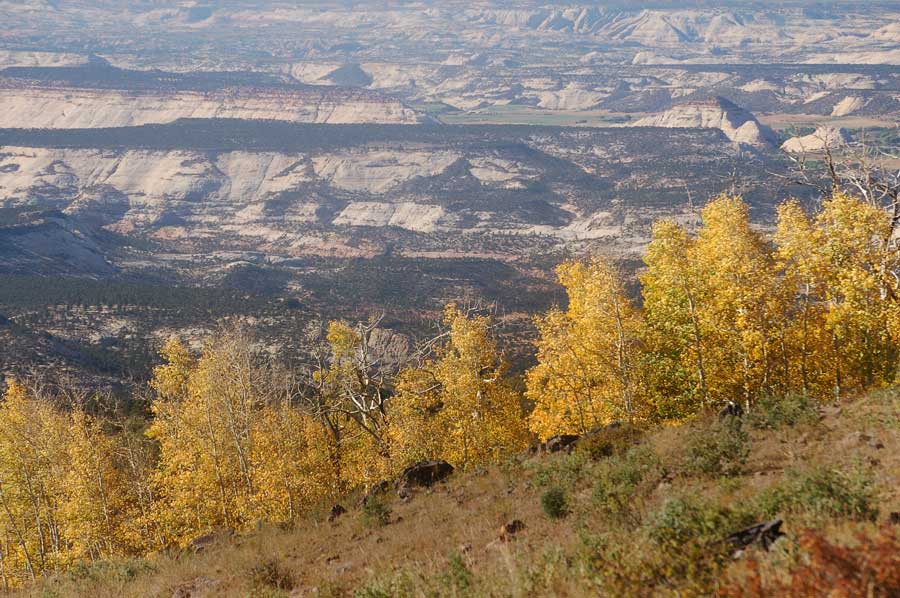
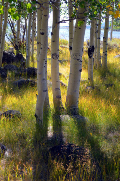
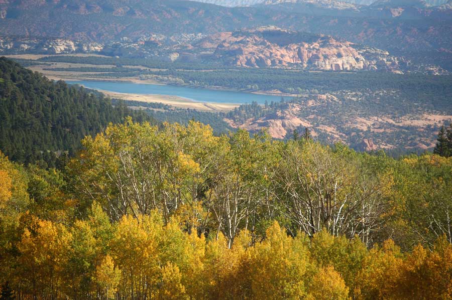
At roughly 11,000 feet, the mountain’s 50,000 timbered acres cover half of the Aquarius Plateau (an uplift along the Colorado Plateau), making it the highest forested plateau in North America.
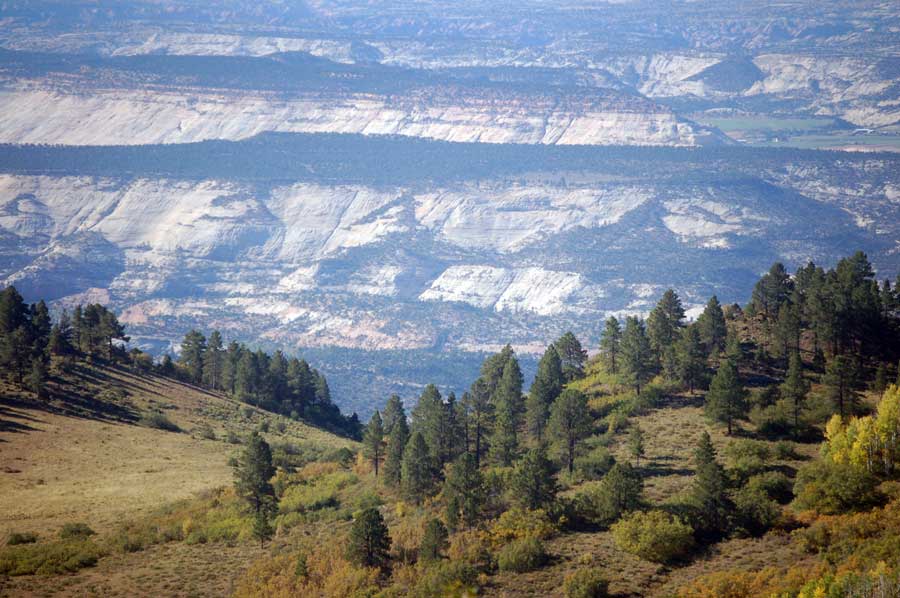
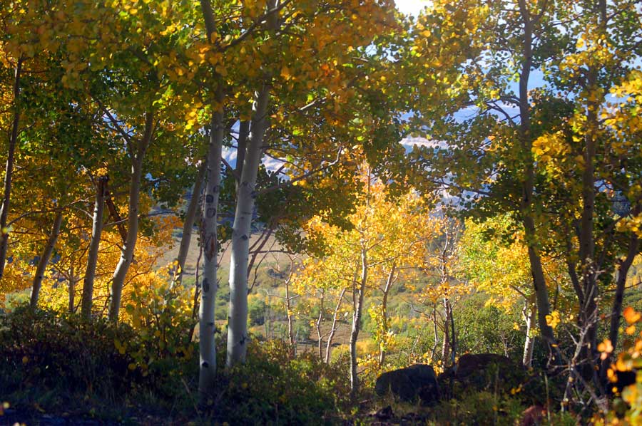
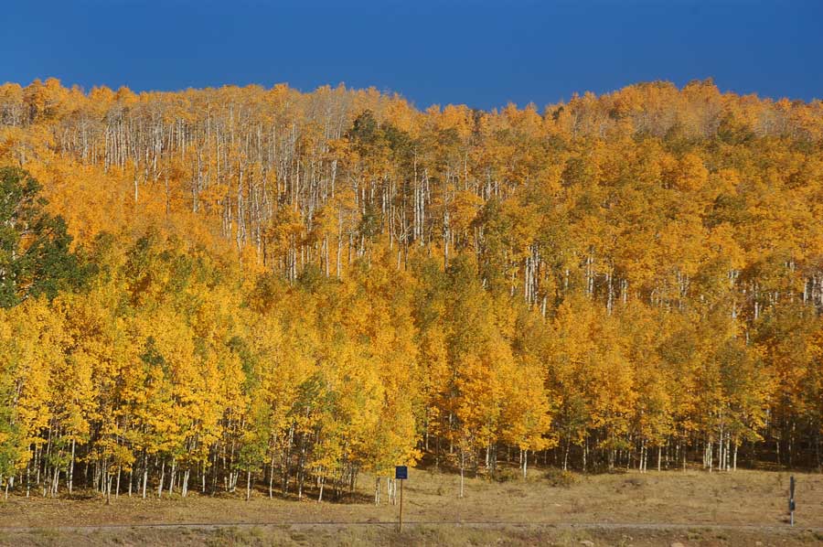
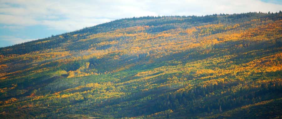
A famous road on the mountain Hell’s Backbone Road forks from Scenic Byway 12. Hell’s Backbone then runs west toward Posey Lake/Pine Creek Road. The road eventually winds back to the town of Escalante which allows travelers to complete a 38-mile loop.[6]
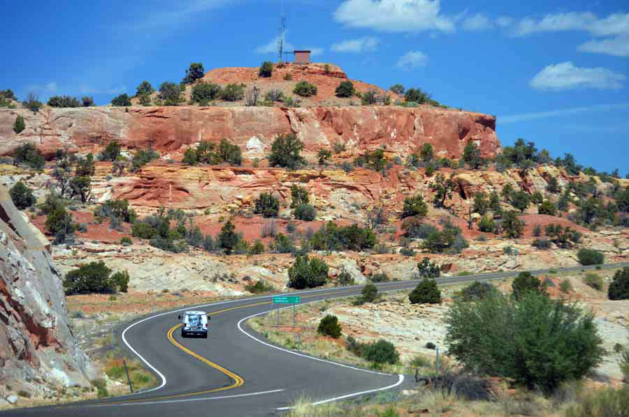
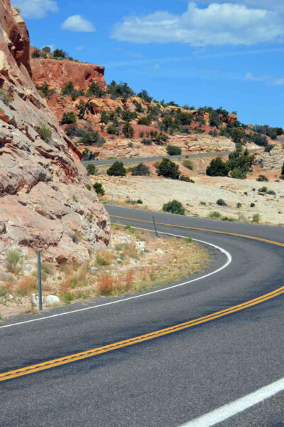
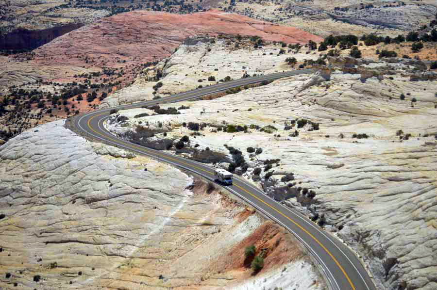
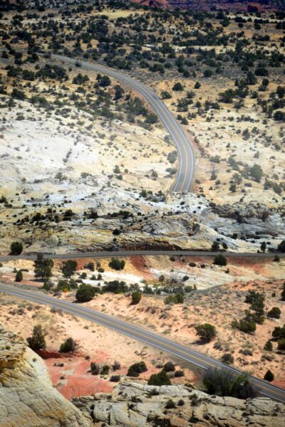
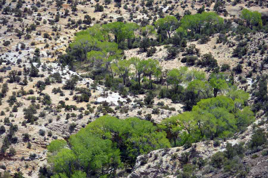
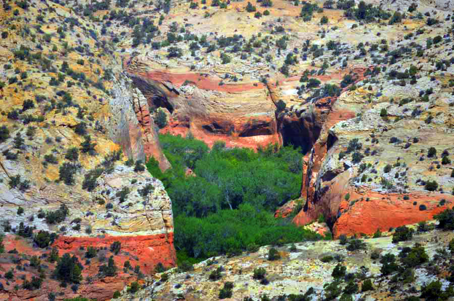
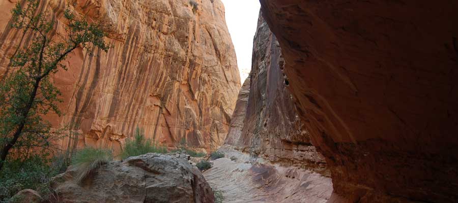
Below Along Hells Backbone north of Boulder is Calf Creek.
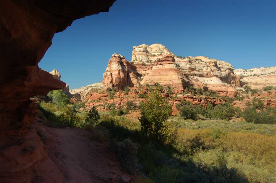
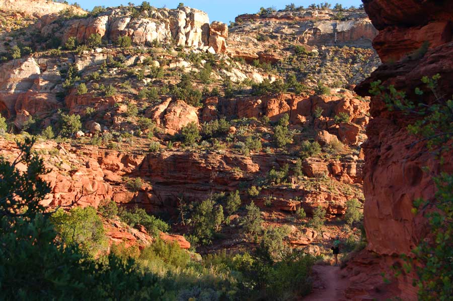
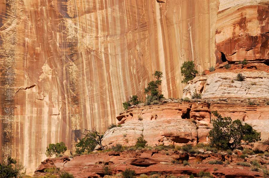
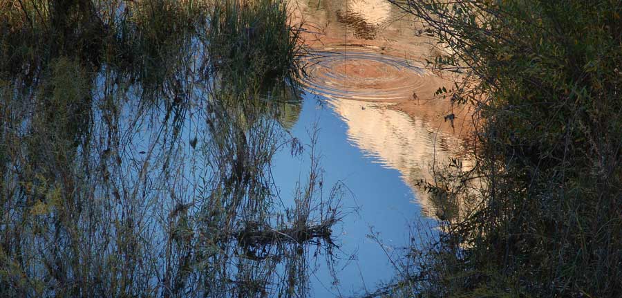
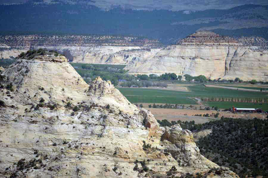
Above Coming down to the town of Boulder.
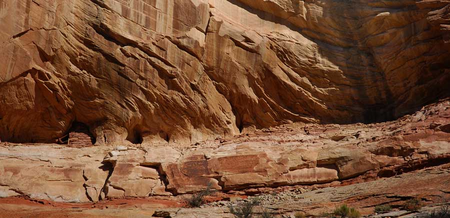
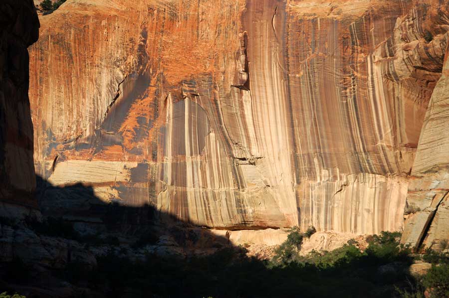
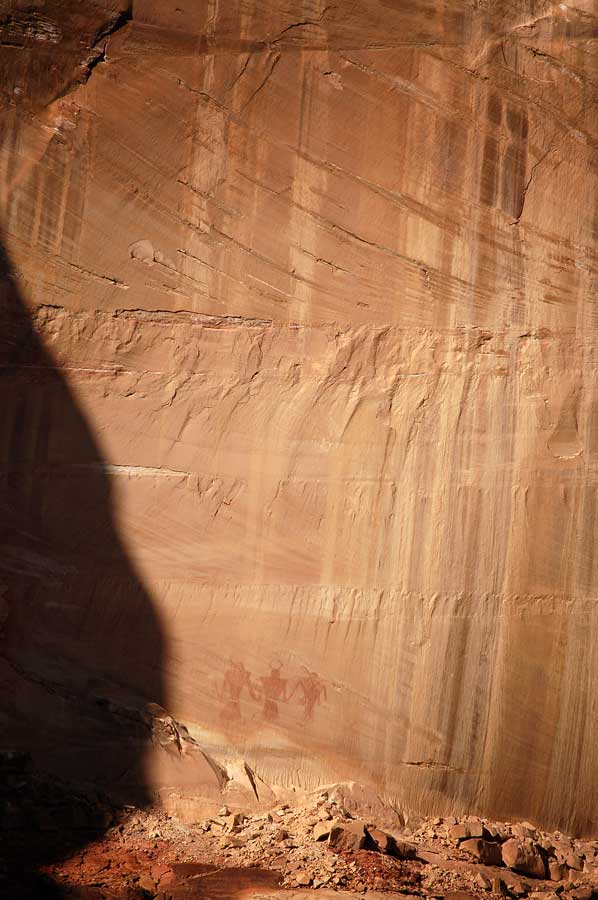
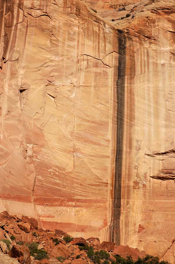
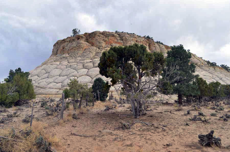
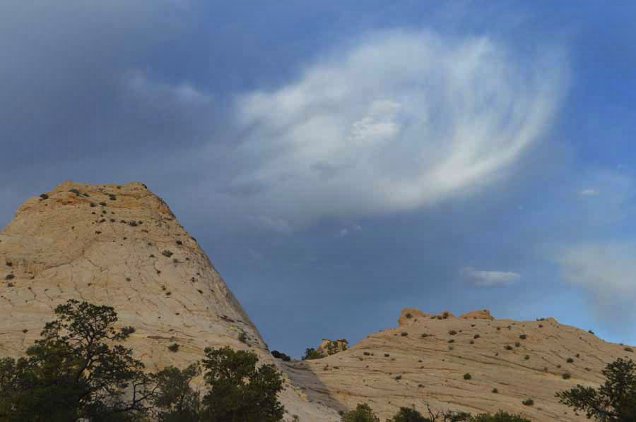
Below near the town of Boulder along The Burr Trail which winds its way south to Lake Powell.
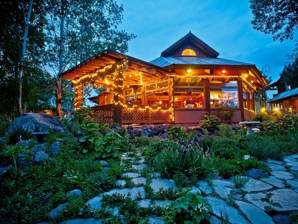
Above We ate a wonderful gourmet meal at Hells Backbone Grill. An unexpected treat. The remote and sustainable restaurant has become a destination for travelers in that part of the country. For a little more information see.
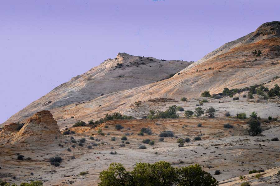
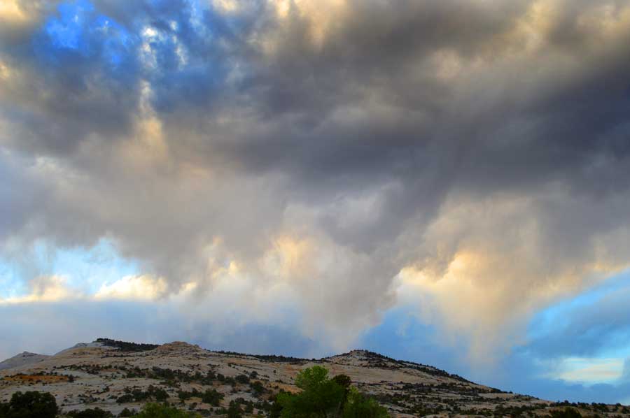
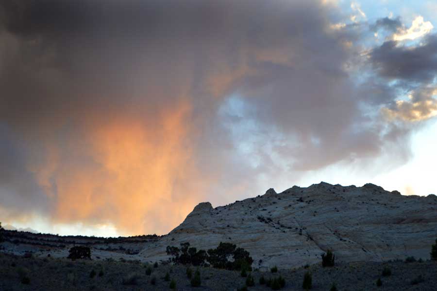
We camped along the Burr Trail- a long winding road that heads south ending up at Lake Powell. Enjoyed spectacular skies.


