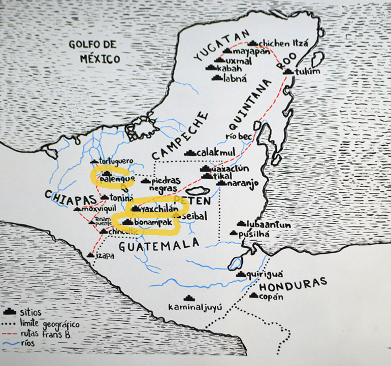
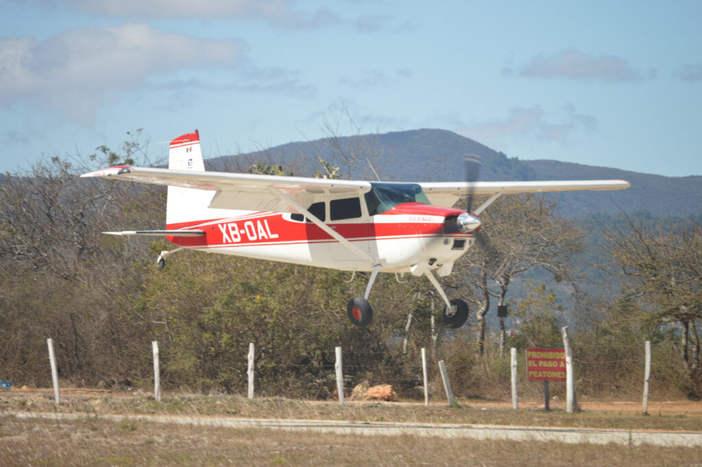
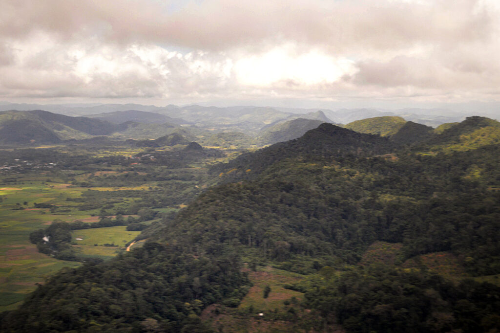
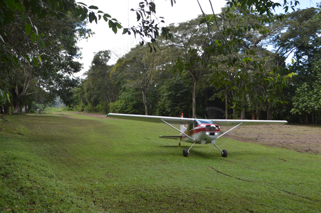
From Comitlan in the chilly highlands we flew in a small Cessna across the jungle covered mountains down in elevation to the ancient Mayan sites of Yaxchilan, Bonampak and Palenque.
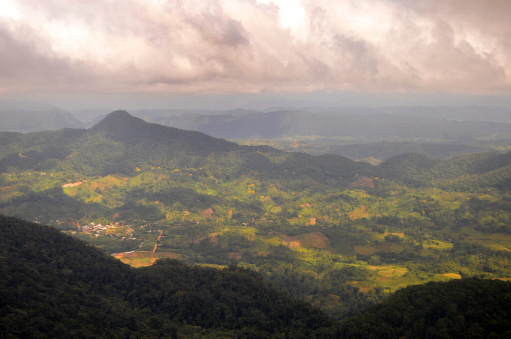
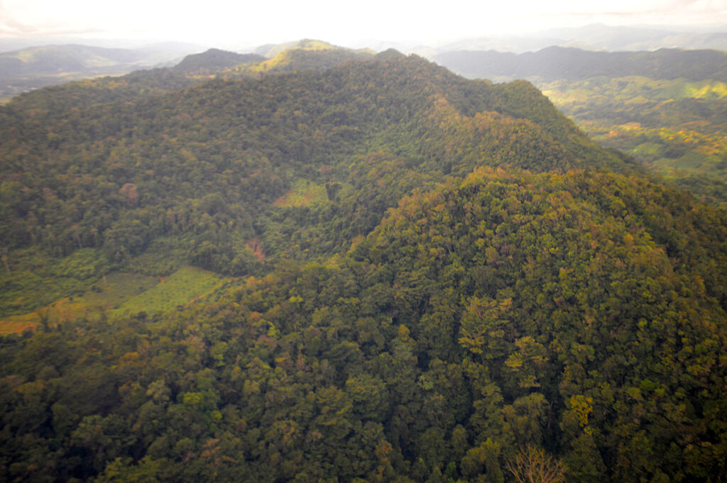
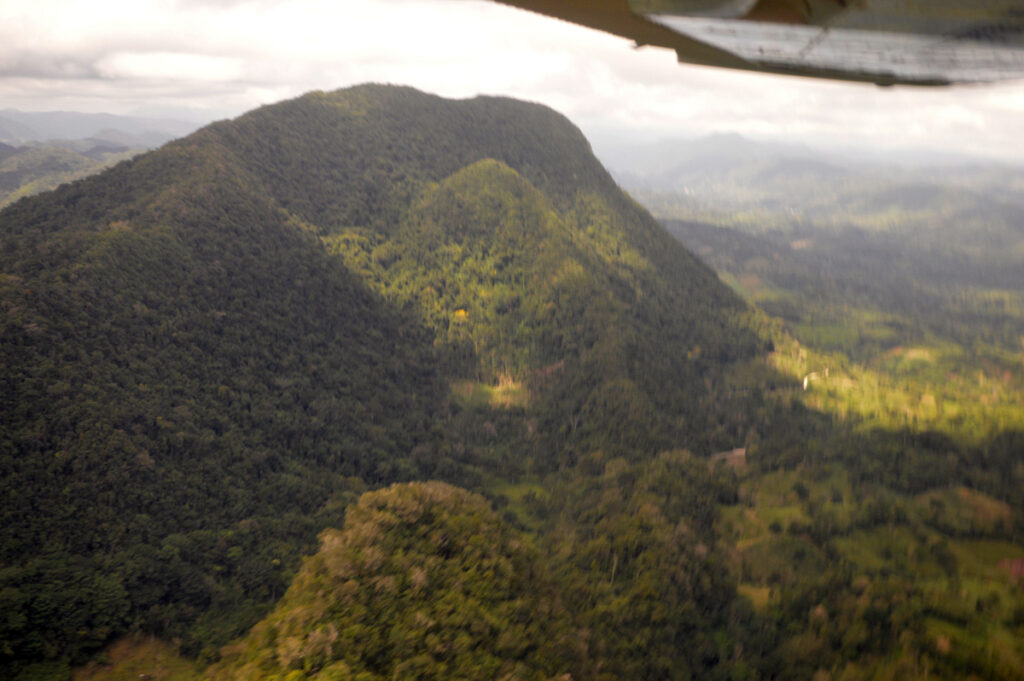
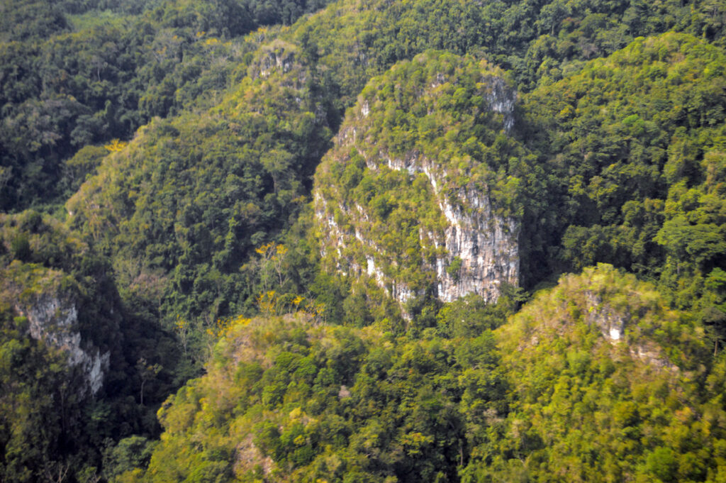
The Lacandon Jungle that we flew over is a rainforest which stretches from Chiapas into Guatemala. The heart of this rainforest is located in the Montes Azules Biosphere Reserve in Chiapas near the border with Guatemala.
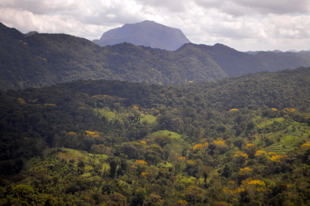
Although much of the jungle outside the reserve has been cleared, the Lacandon is still one of the largest mountain rainforests in Mexico containing 1500 tree species, a third of all Mexican bird species, a quarter of all Mexican animal species and over half of all Mexican butterflies species. In addition Chiapas in general holds thirty percent of Mexico’s fresh water resources.
Because Chiapas is located in the tropical belt of the planet the climate is moderated by altitude. In January San Cristobal and Comitan were cool and even chilly at night, whereas at lower elevations it was pleasantly warm at that time of year but later in the year quite humid and hot especially around the low elevations of the Gulf.
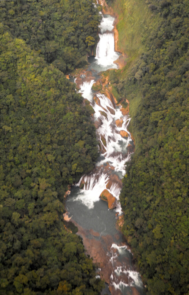
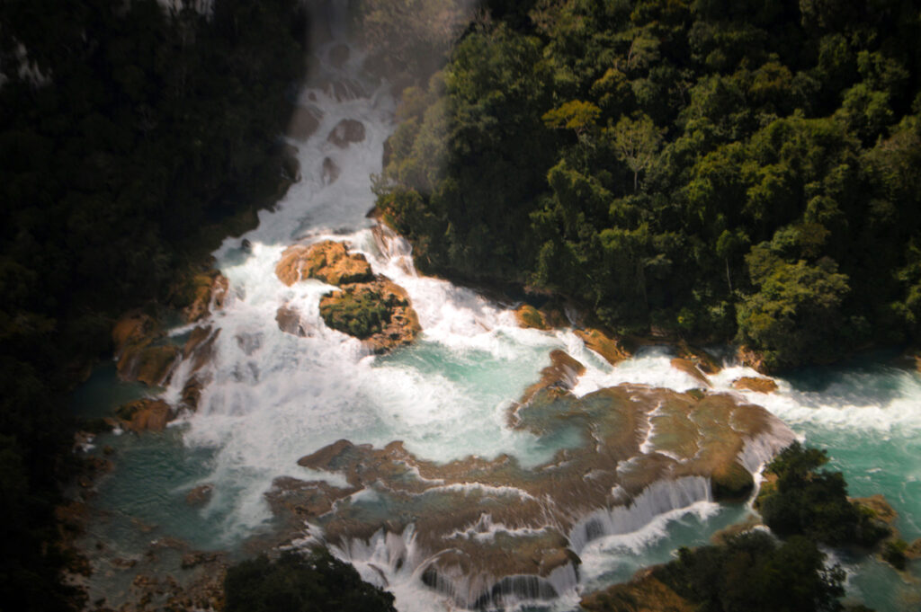
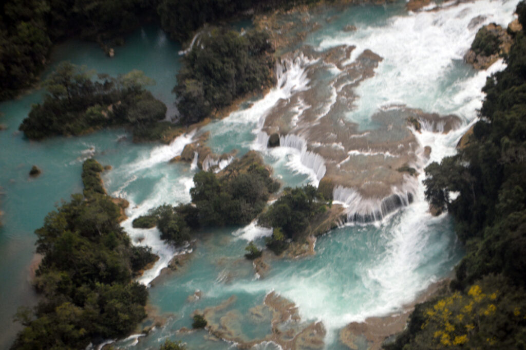
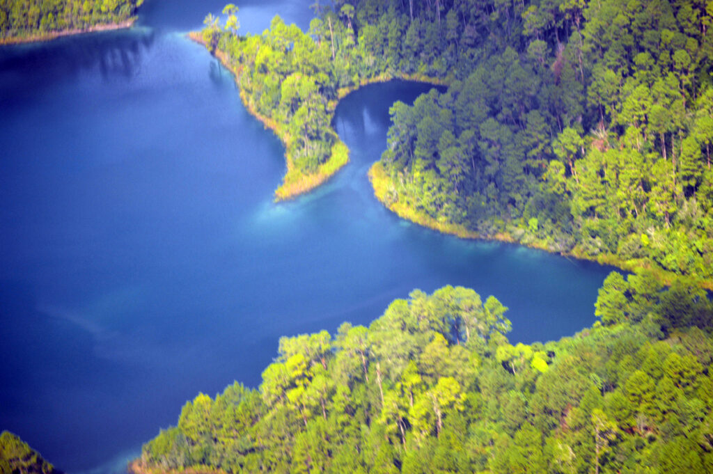
Above blue green Cataracts on the River Usumacinta as it travels down from southern highlands northward toward the Gulf.
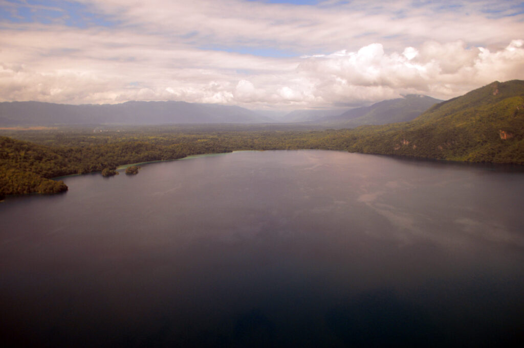
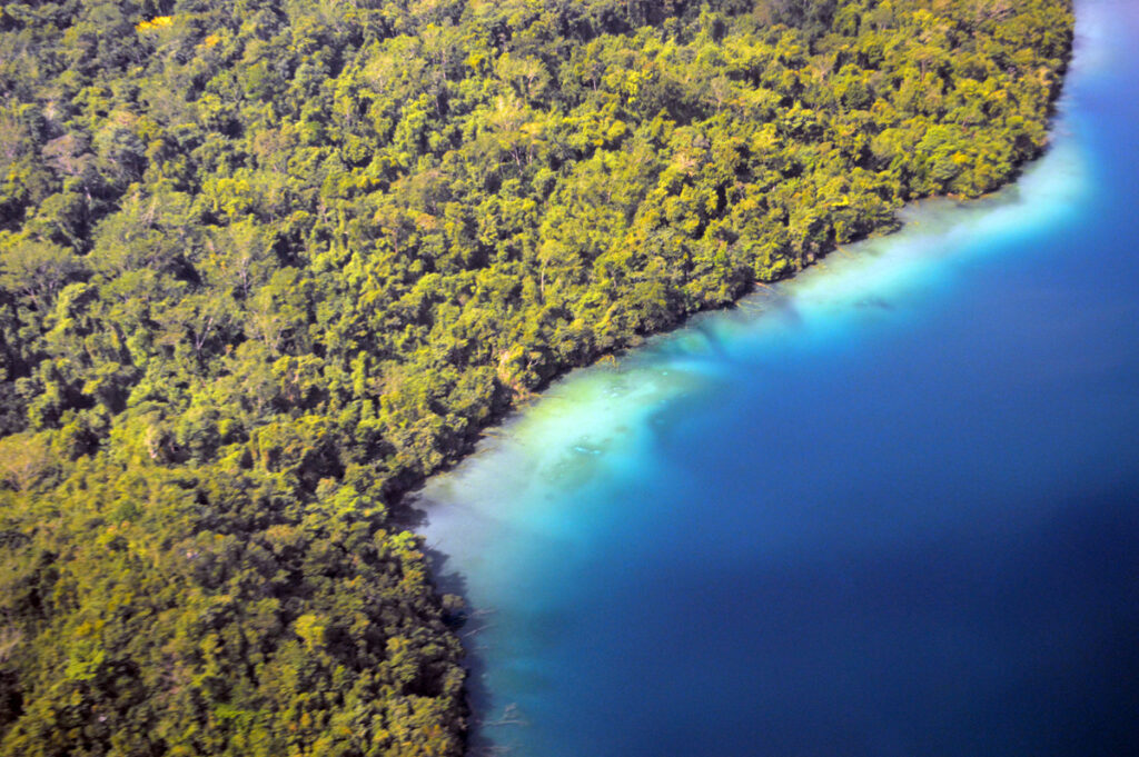
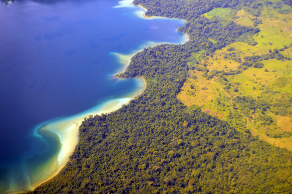
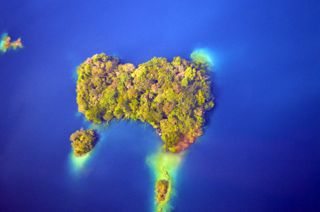
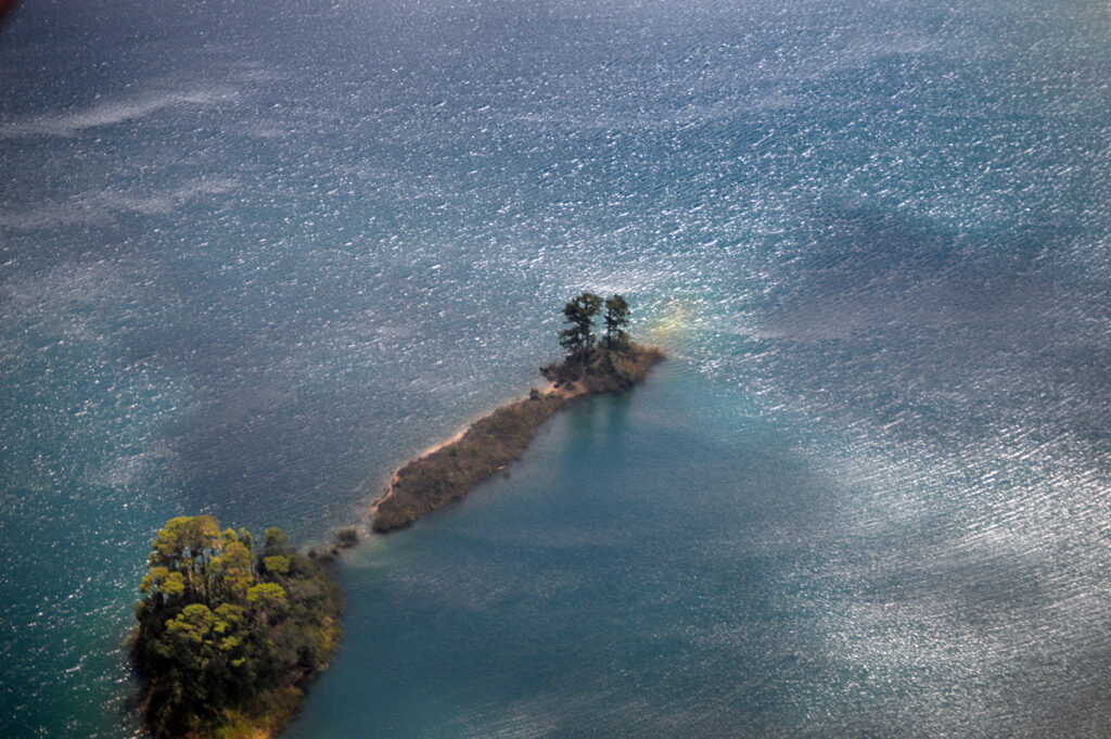
Looking down on the blue waters of the Laguna Miramar in the Montes Azules Biosphere Reserve
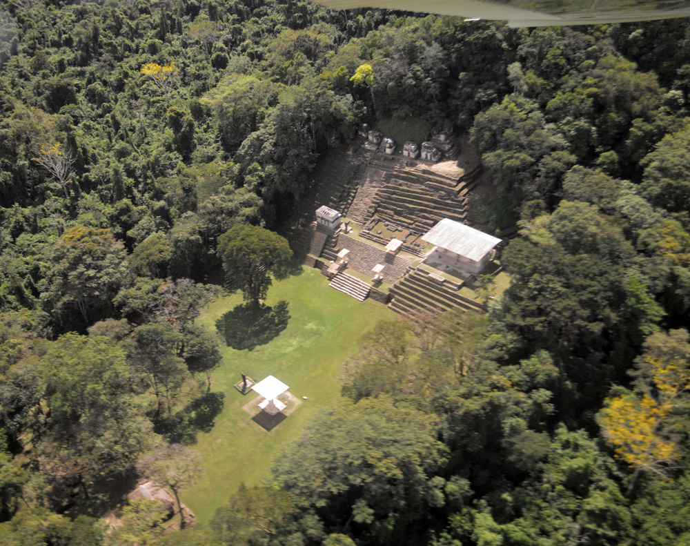
Above- circling over Bonampak
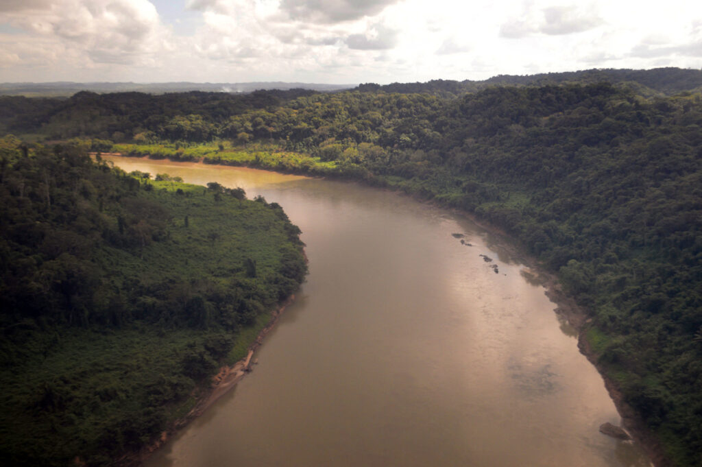
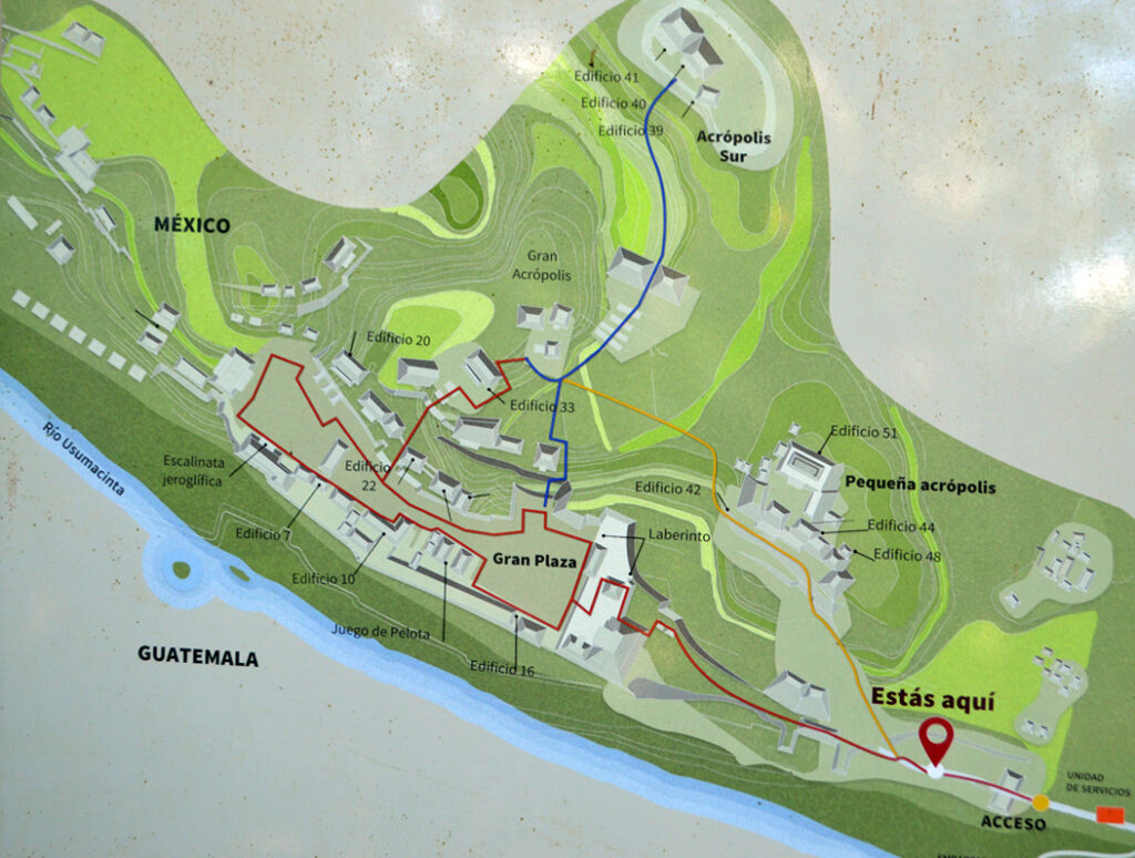
Below- Following the Usumacinta River to land at Yaxchilan. Guatemala to the left and Mexico to the right.
A hair raising turn from the river into the the forest then a quick left lands us in a narrow strip of jungle along the riverside near the ruins.
See at short clip here below.
YAXCHILAN
….has long been difficult to reach other than by river.
Until recently, no roads existed within 100 miles. The only way to get to the site were hundreds of miles by boat, or else by small plane.
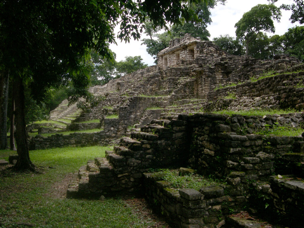
A short walk along a river path bring sone to the site.
![]()
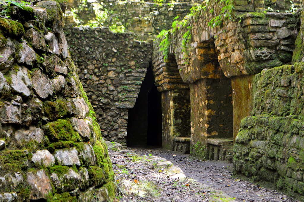
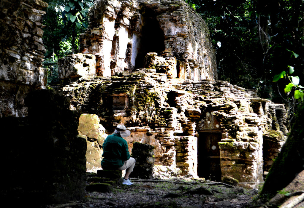
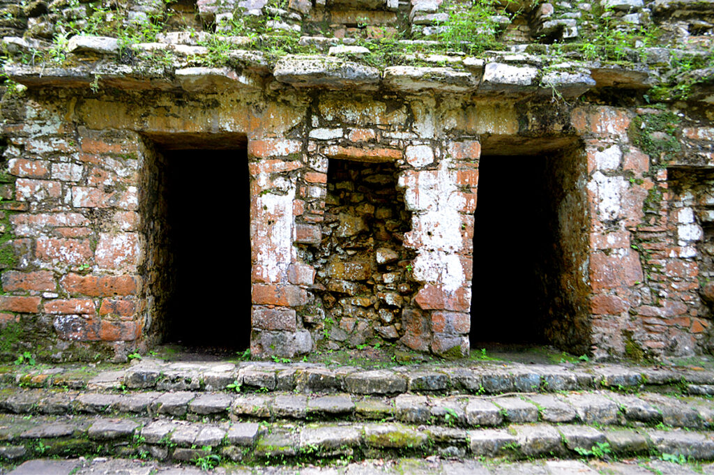
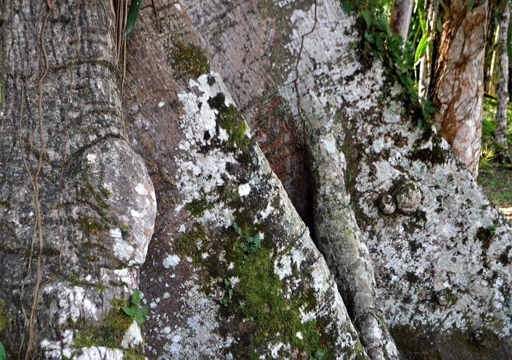
The access to it though is through a dark narrow passage in the corner of a building. For defense?
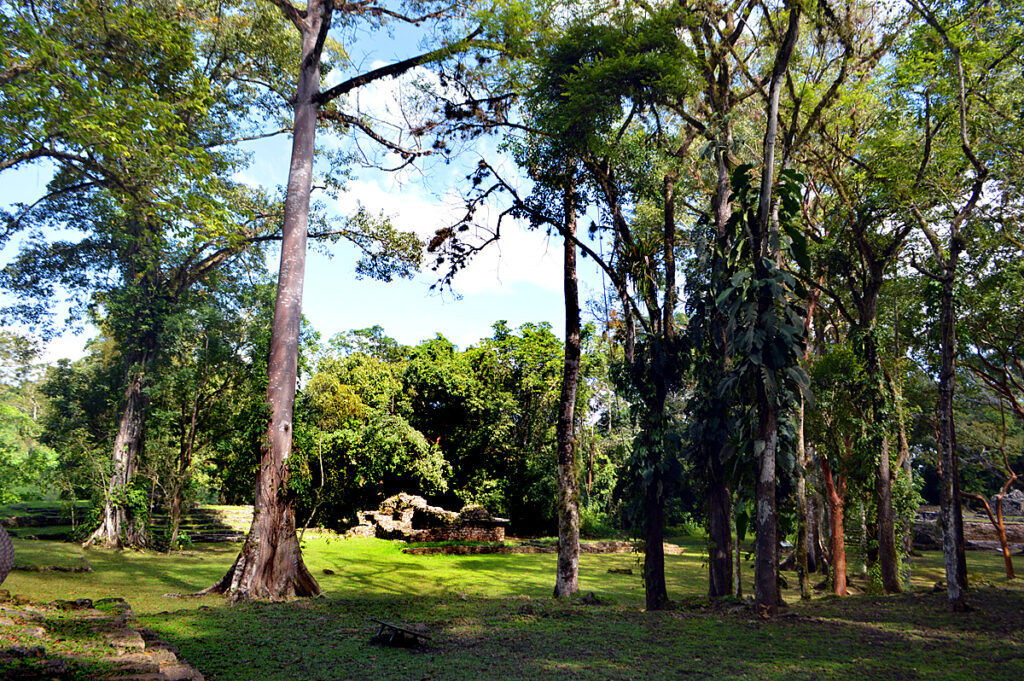
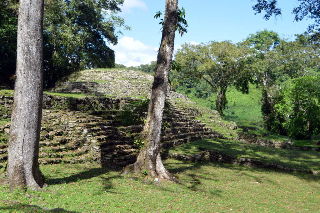
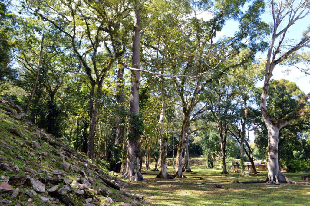
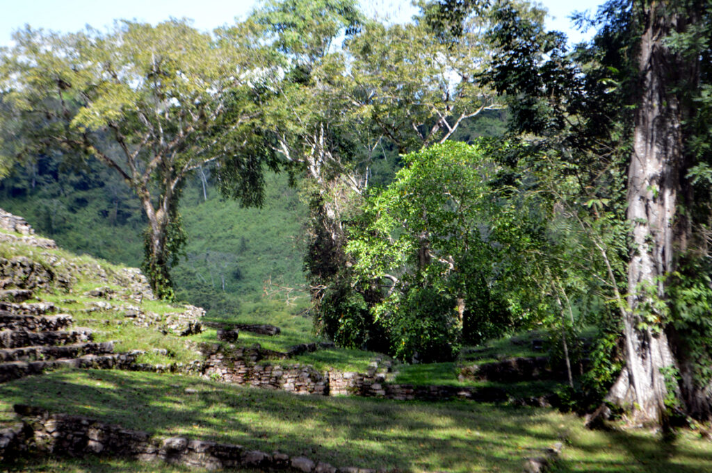
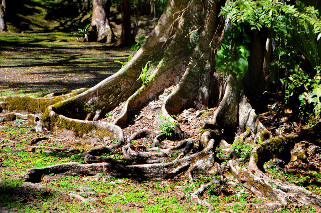
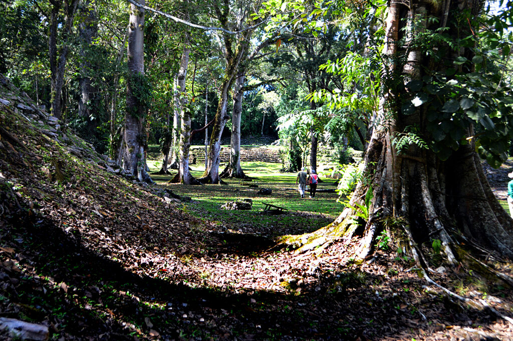
……which opens into a beautiful meadow of lush trees.
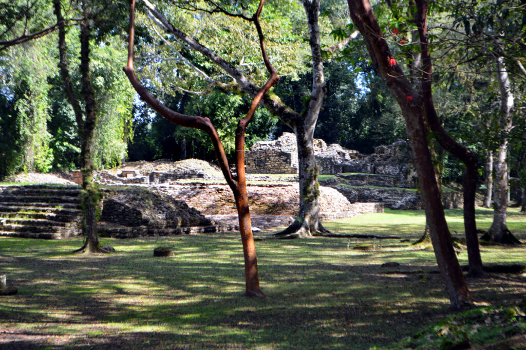
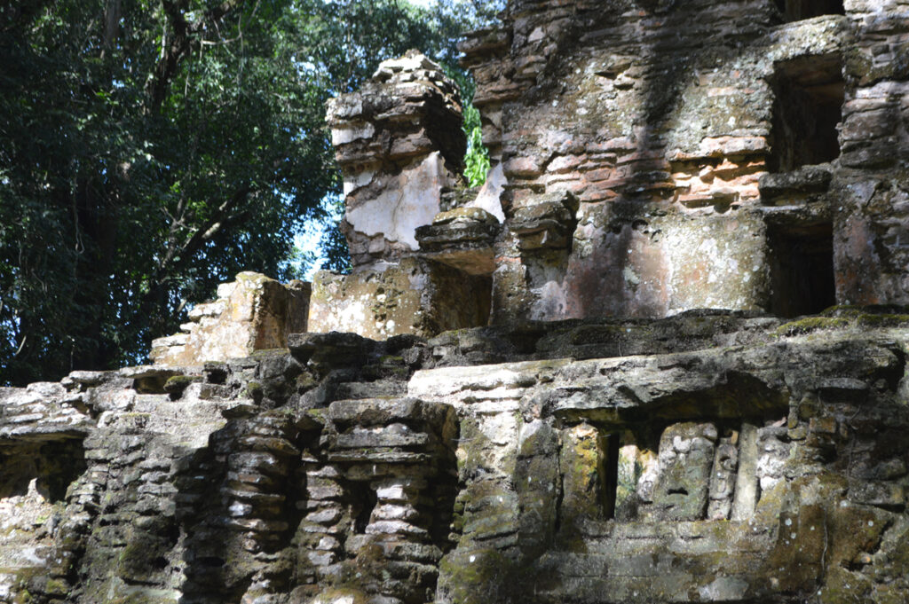
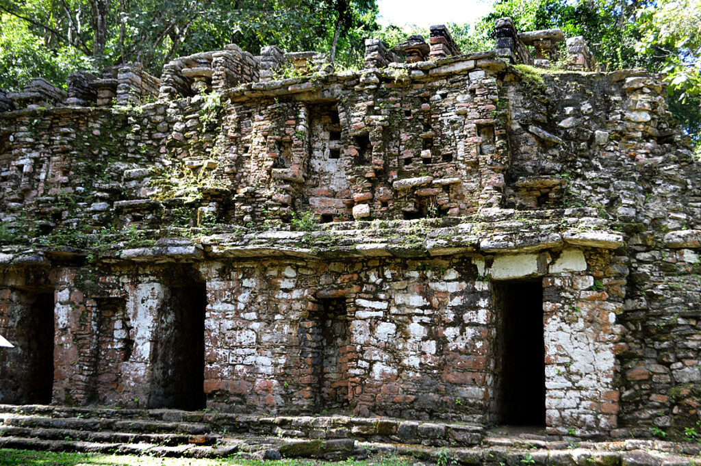
Yaxchilan flourished in the 8th and 9th centuries and was a large center and the dominant power of the Usumacinta River area.
It dominated such smaller sites as Bonampak
![]()
![]()
![]()
![]()
![]()
![]()
![]()
![]()
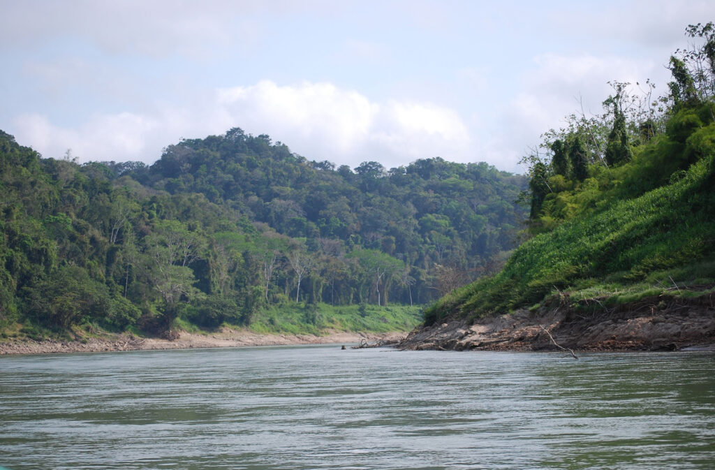
Below-The Usumacinta River where we embarked for an hour long trip upriver to a jungle camp.
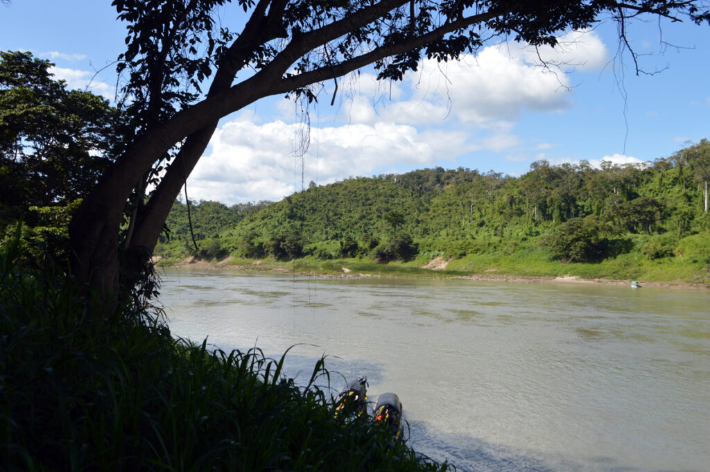
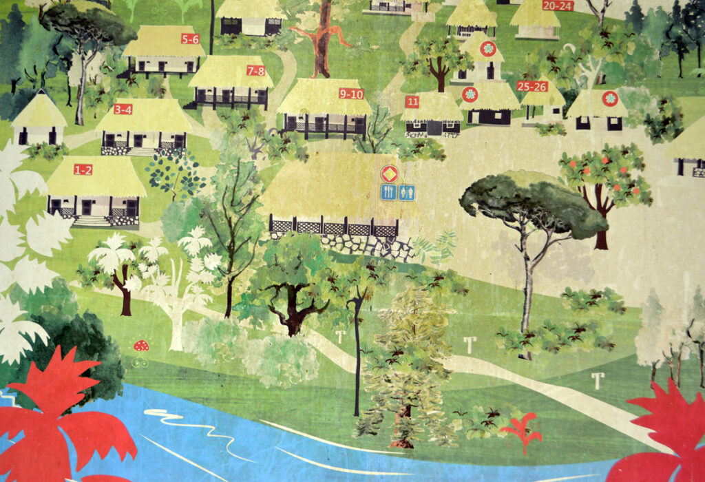
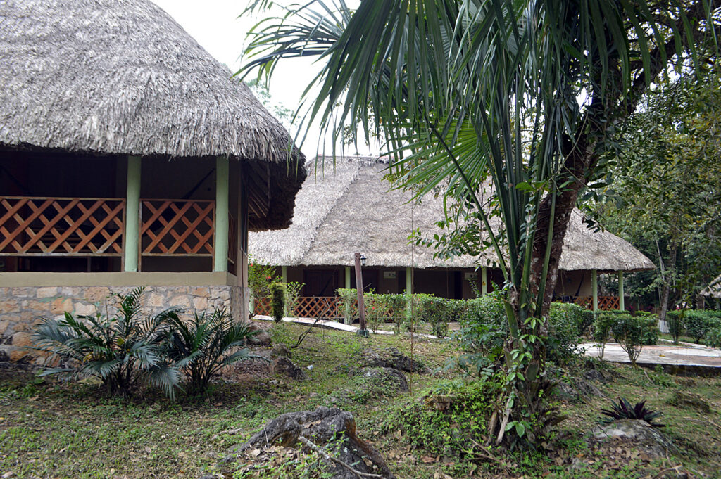
Escudo Jaguar is the name of the camp we disembarked at for the night. Rustic and functional.
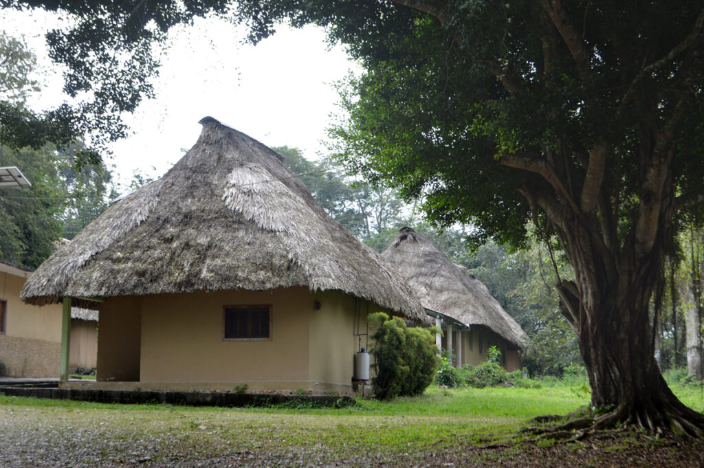
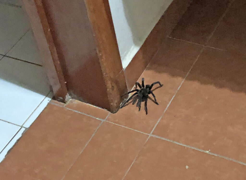
Below-we had to shoo out a previous occupant