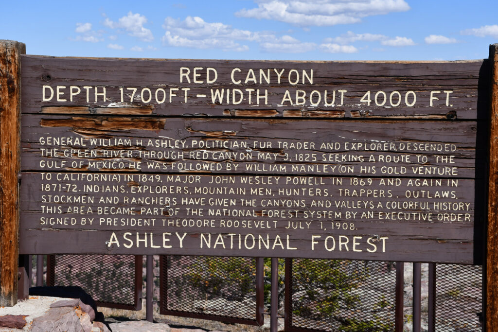
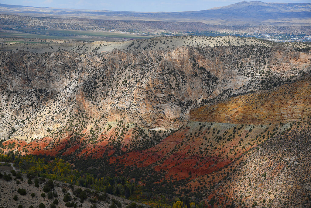
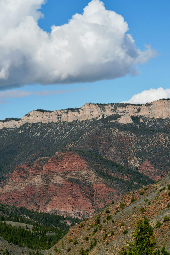
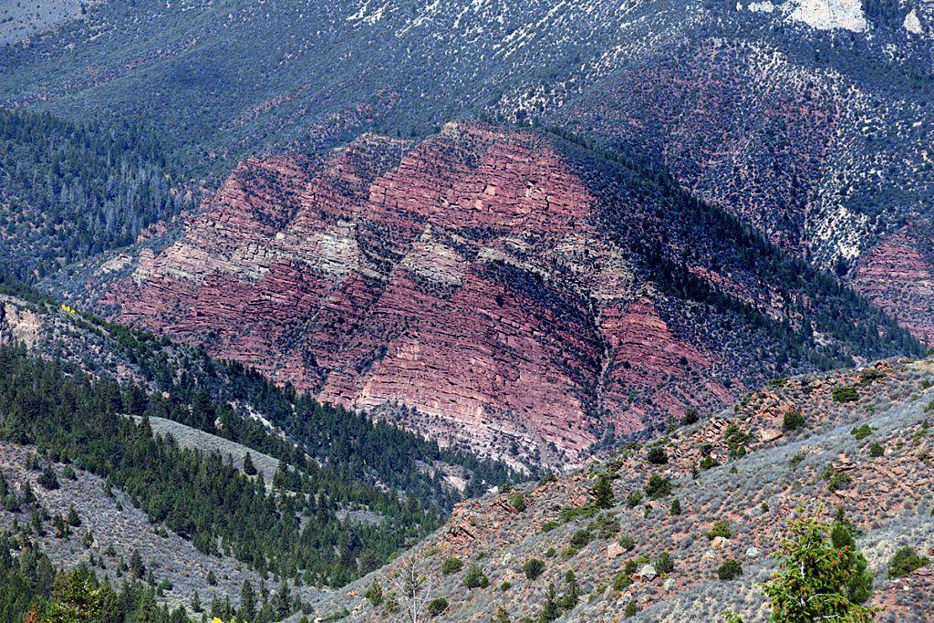
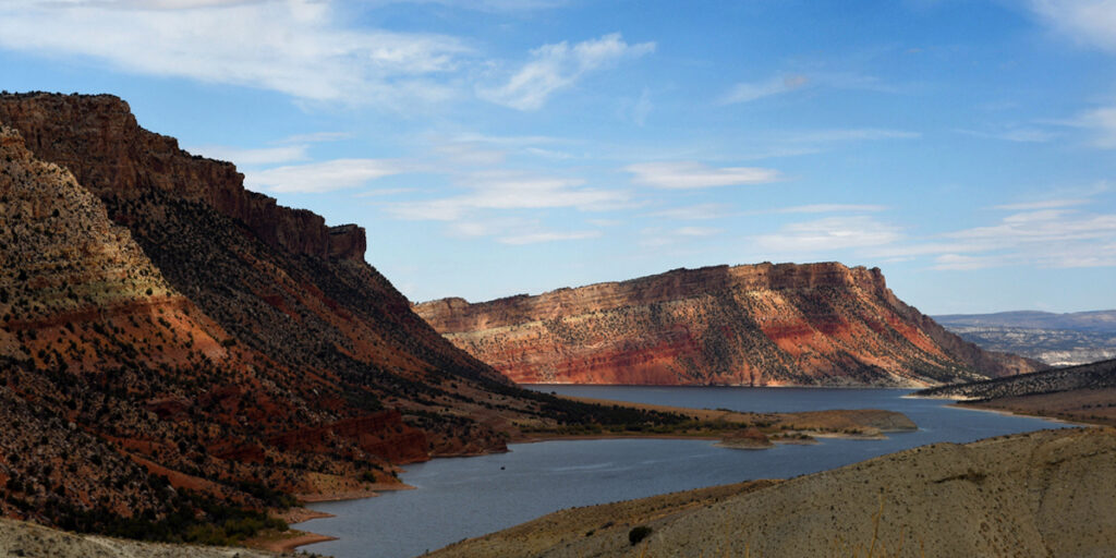
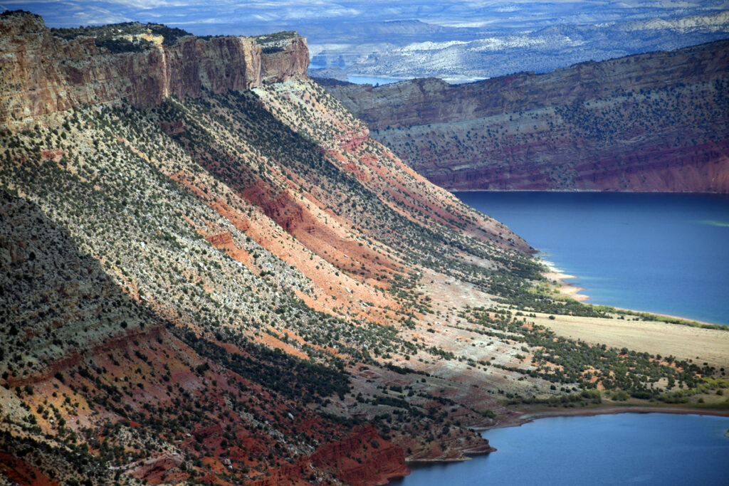
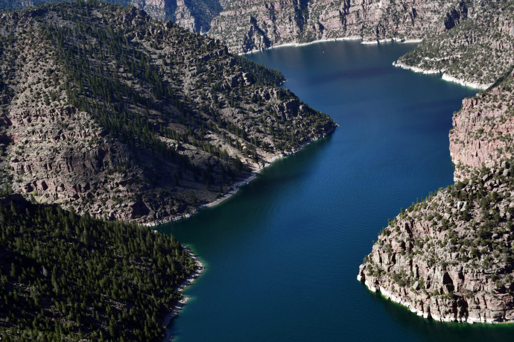
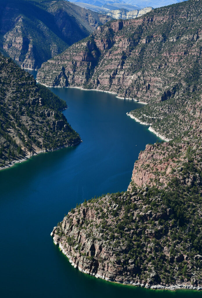
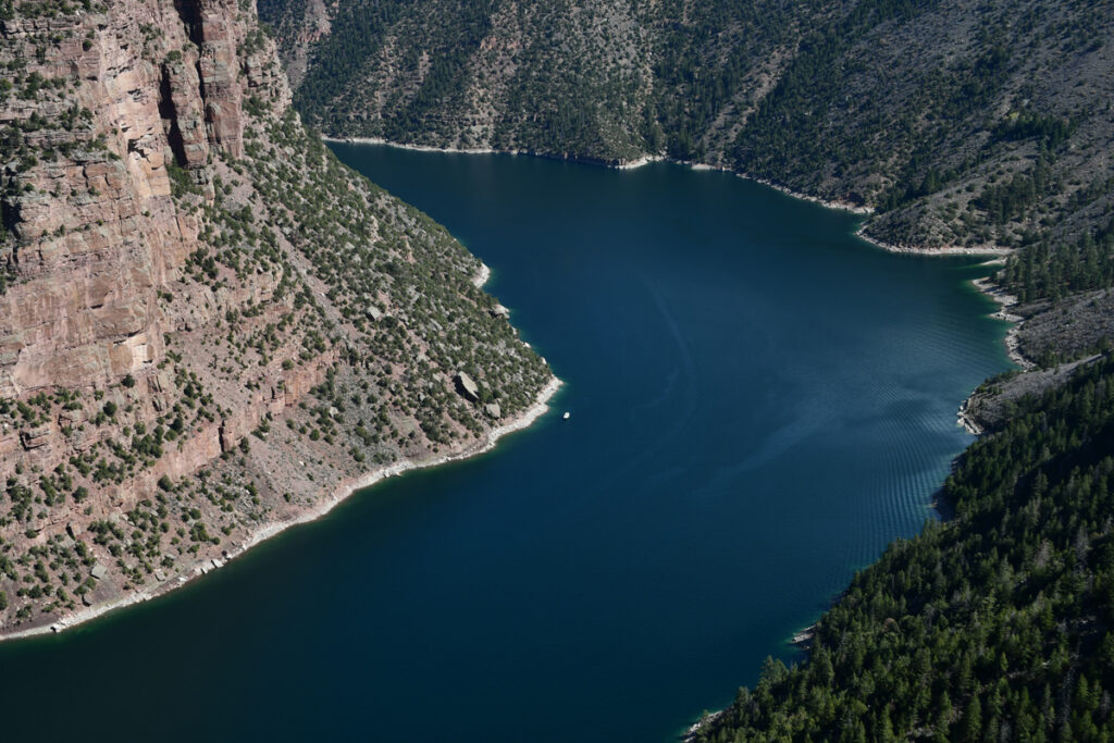
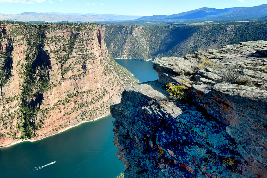
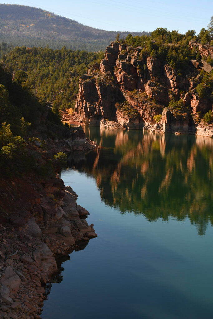
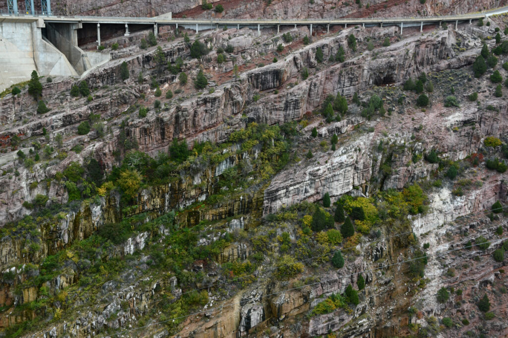
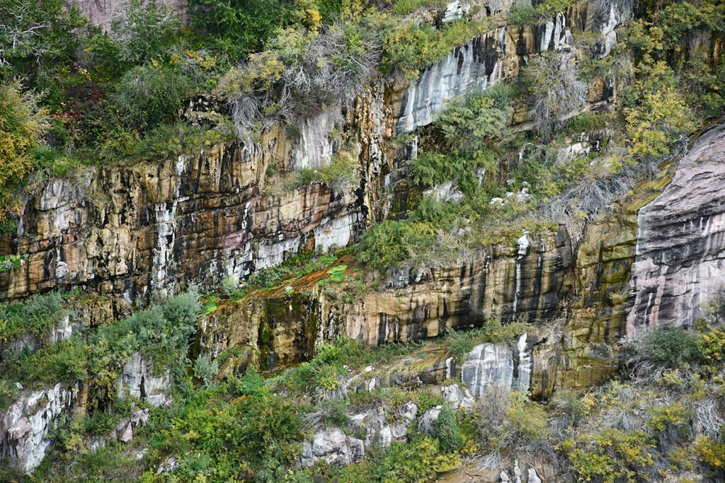
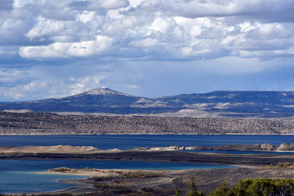
The deep red cliffs of the Gorge were formed as the Uinta Mountains which go unusually east west- uplifted some 70 million years ago and the Green River flowing north south cut through the ancient rocks.
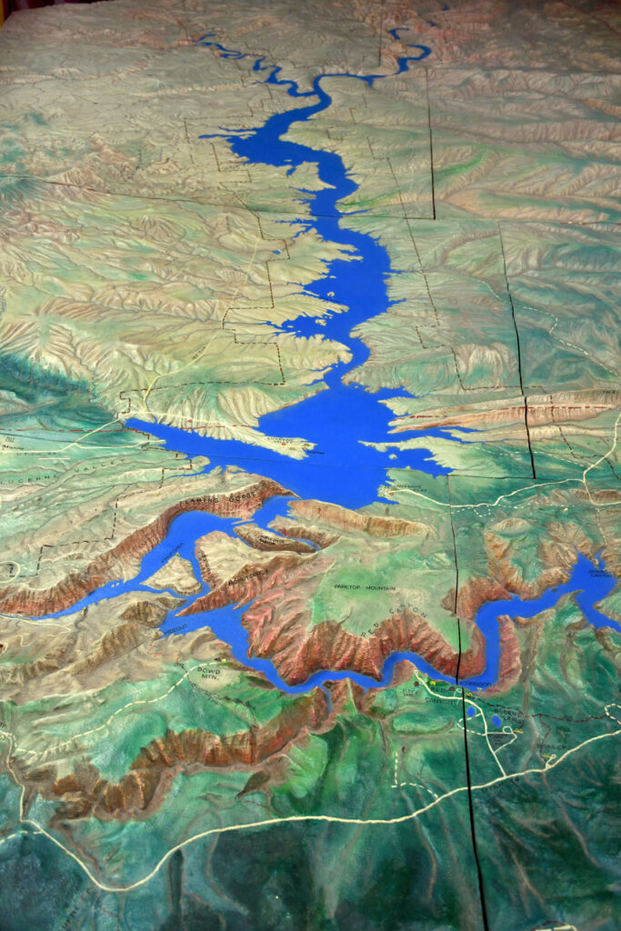
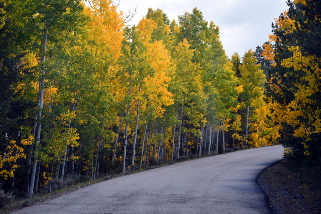
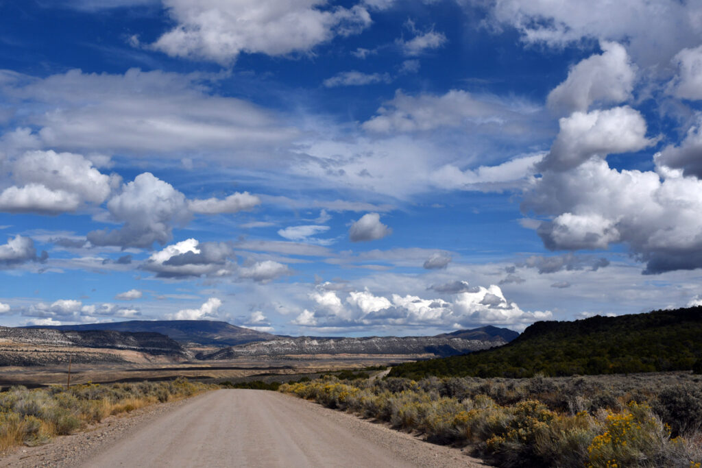
Above-The road from Manila to the lower (Utah) end of the Lake.
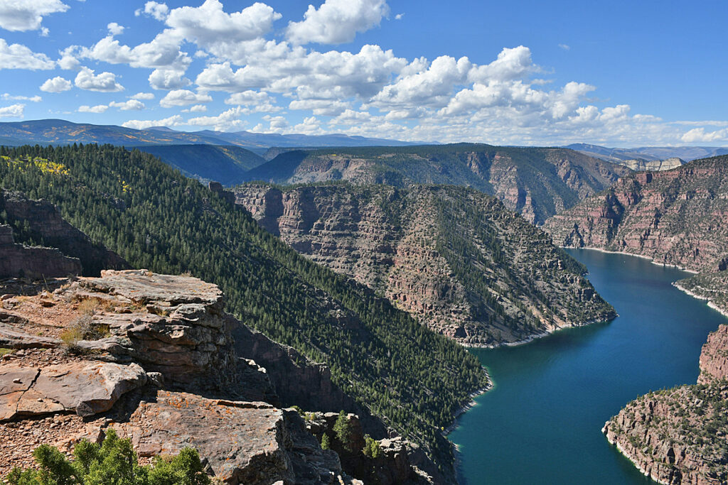
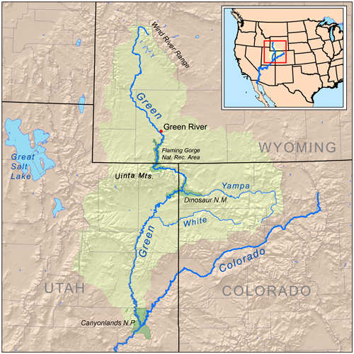
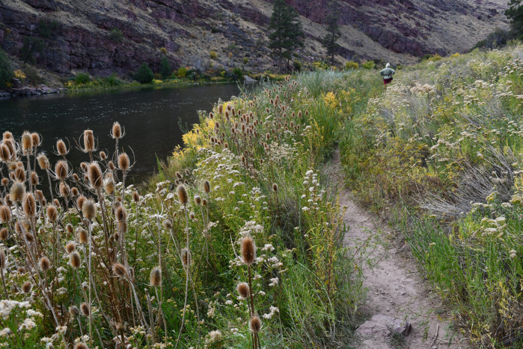
Below the dam the original Green River continues its long journey to the Canyonlands and then the Colorado River and then to the Sea of Cortez.
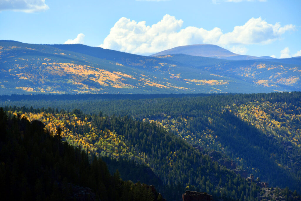
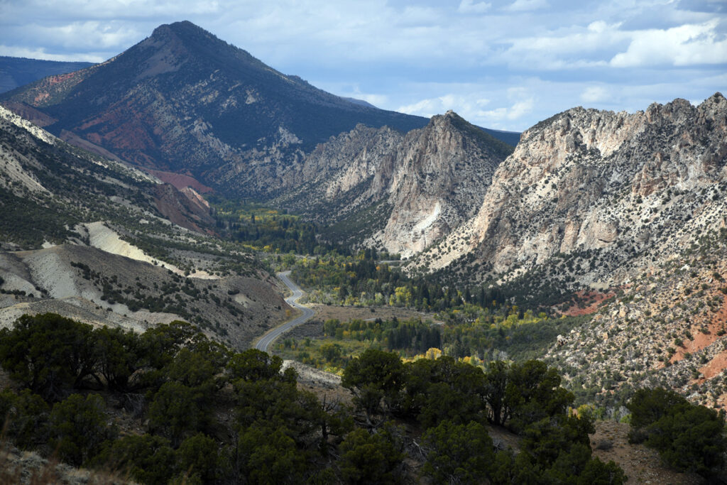
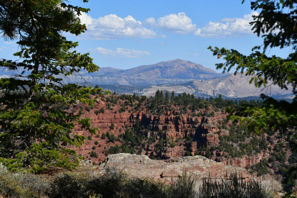
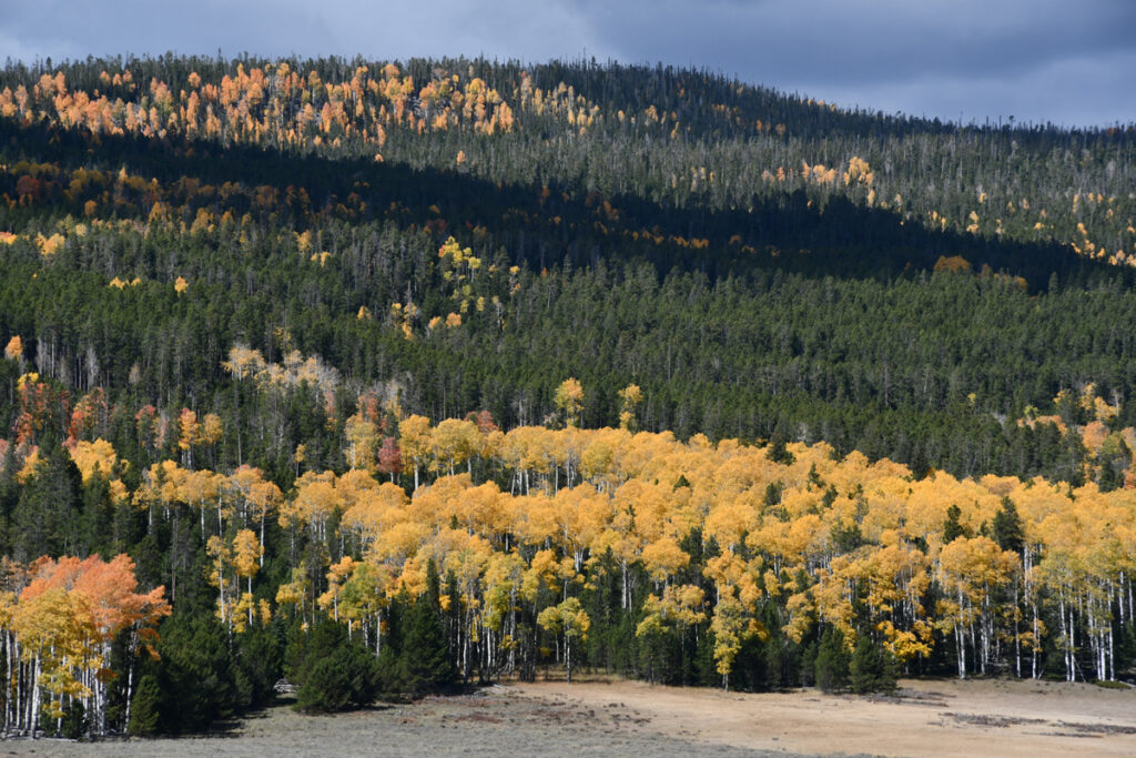
The Uinta Mountains are an east-west oriented mountain range . The range has peaks ranging from 11,000 to 13,528 feet with the highest point being Kings Peak, also the highest point in Utah.
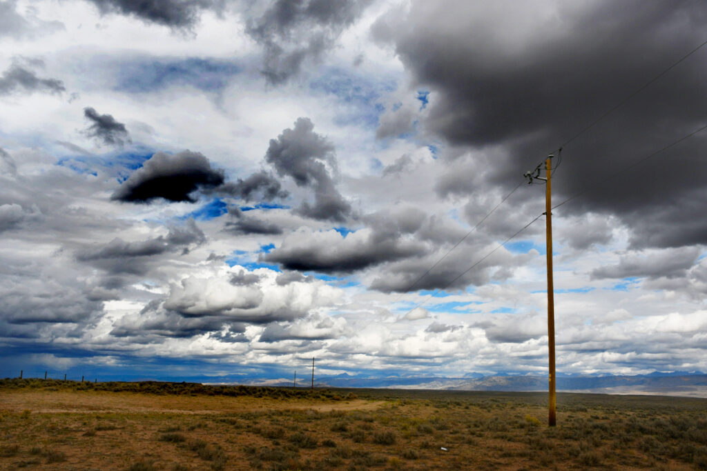
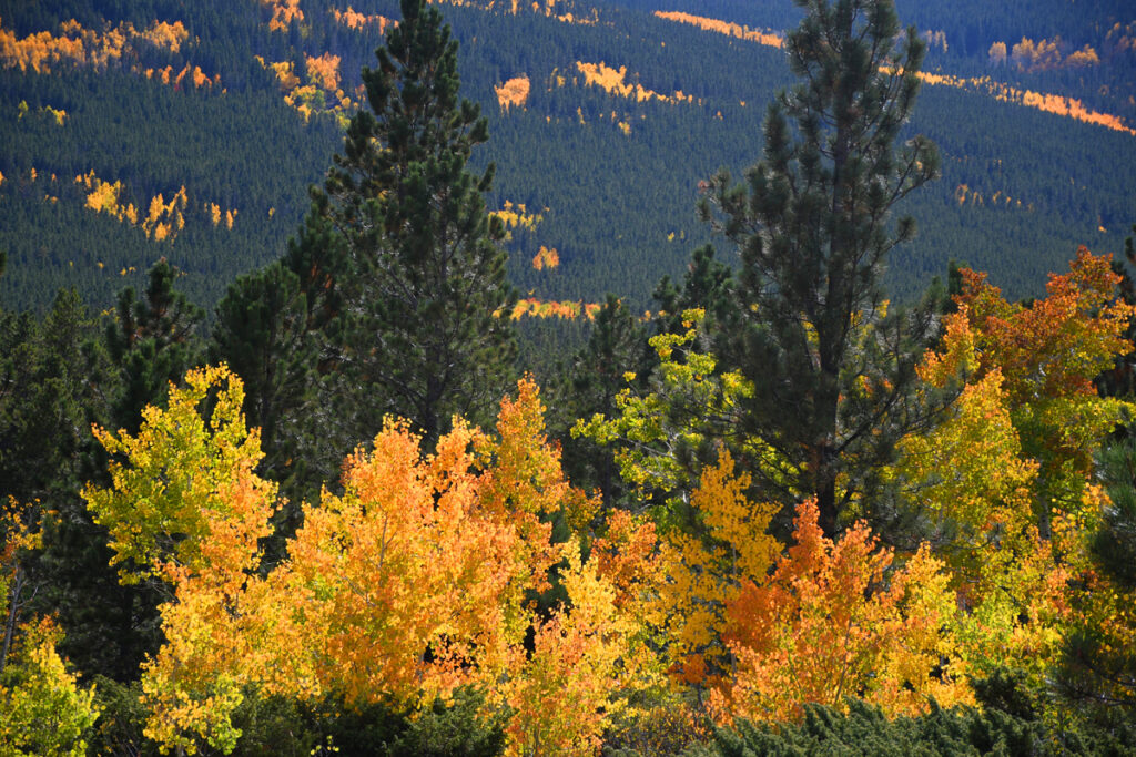
High up at 6 to 7000 feet route 44 crosses the Uinta mountains from Manila to Vernal.
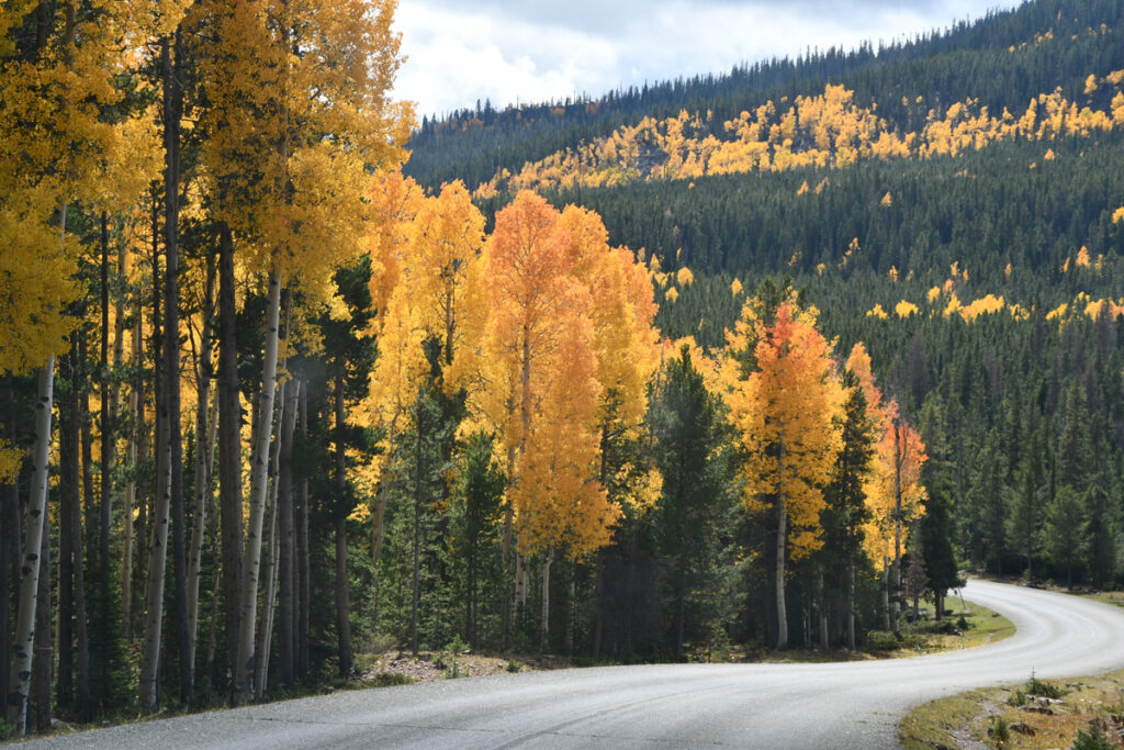
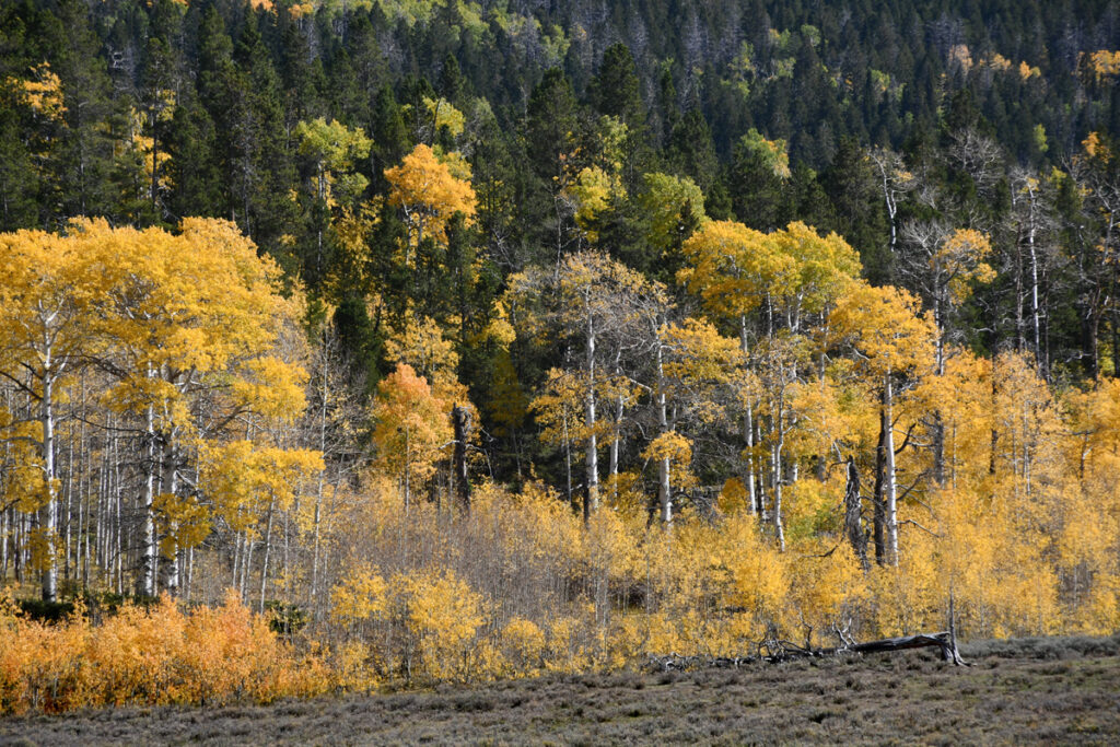
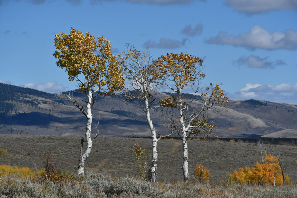
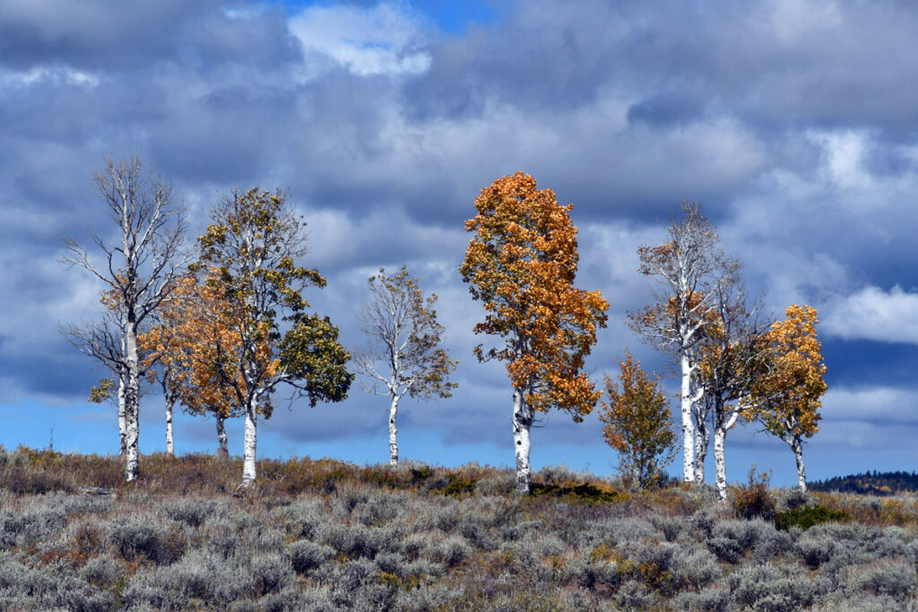
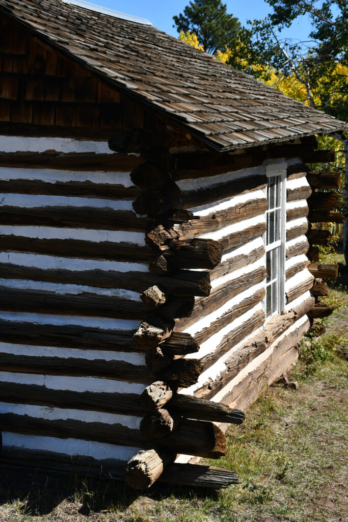
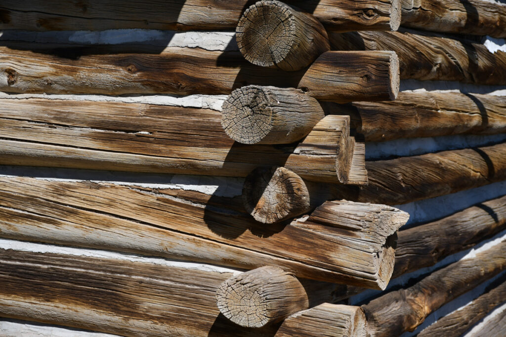
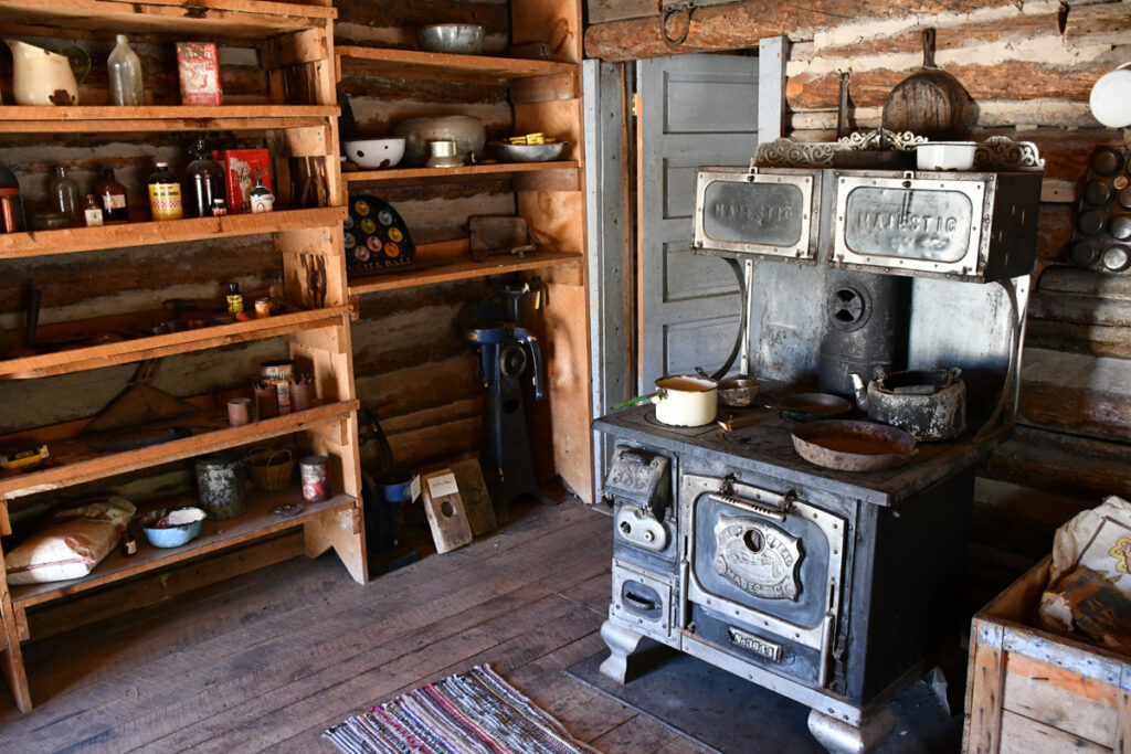
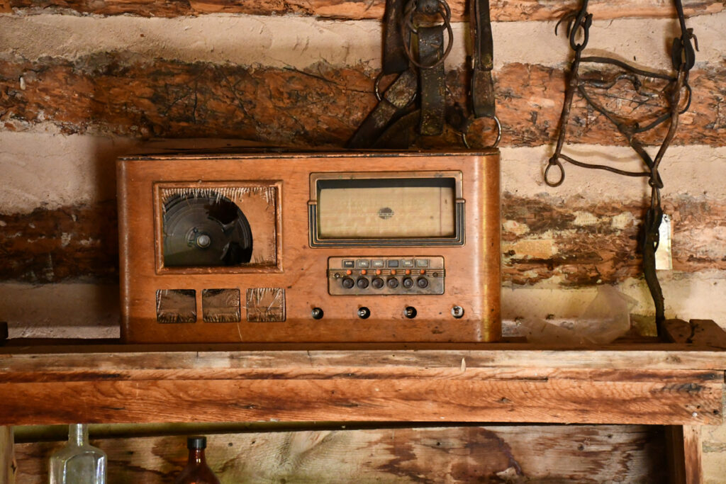
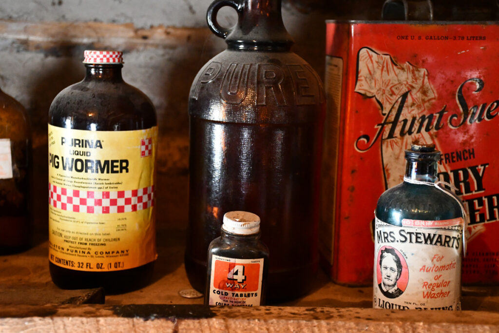
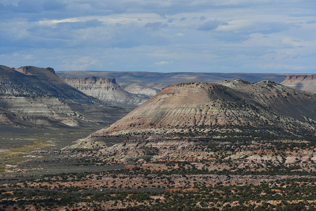
Below a pioneer ranch high up in the Uintas near Flaming Gorge.
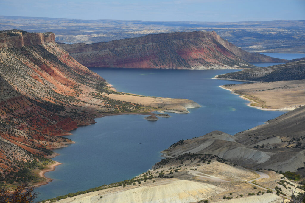
Below. Driving northward toward the Wyoming end of the Lake
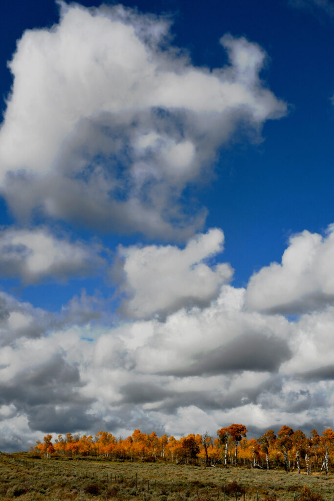
Below Heading northward away from the Flaming Gorge towards Jackson Hole and the Tetons