The Teton Mountain Range extends for approximately 40 miles in a north–south direction through the state of Wyoming just east of the Idaho state line.
It is immediately south of Yellowstone National Park, and most of the east side of the range is within Grand Teton National Park.
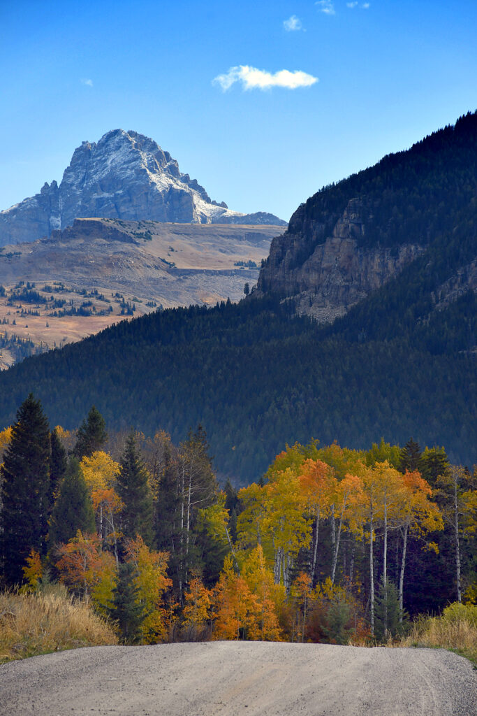
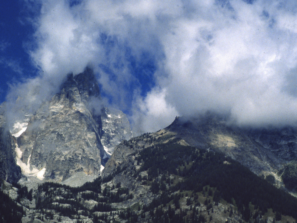
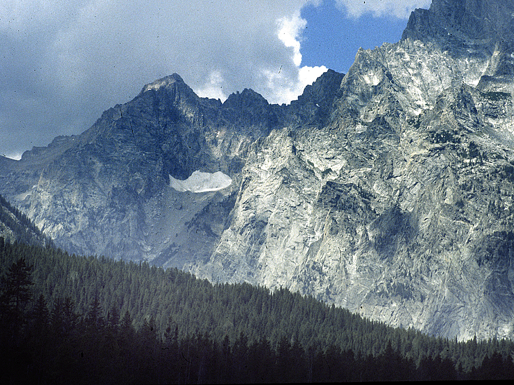
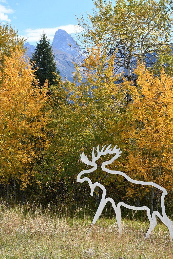
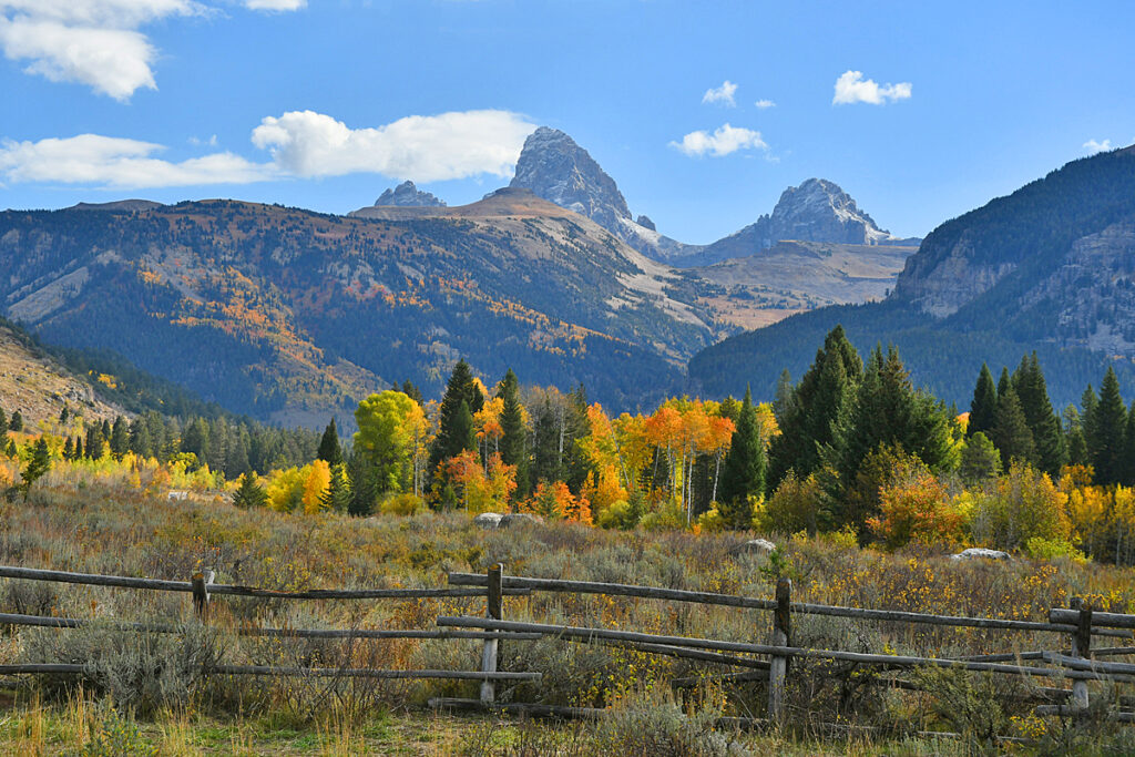
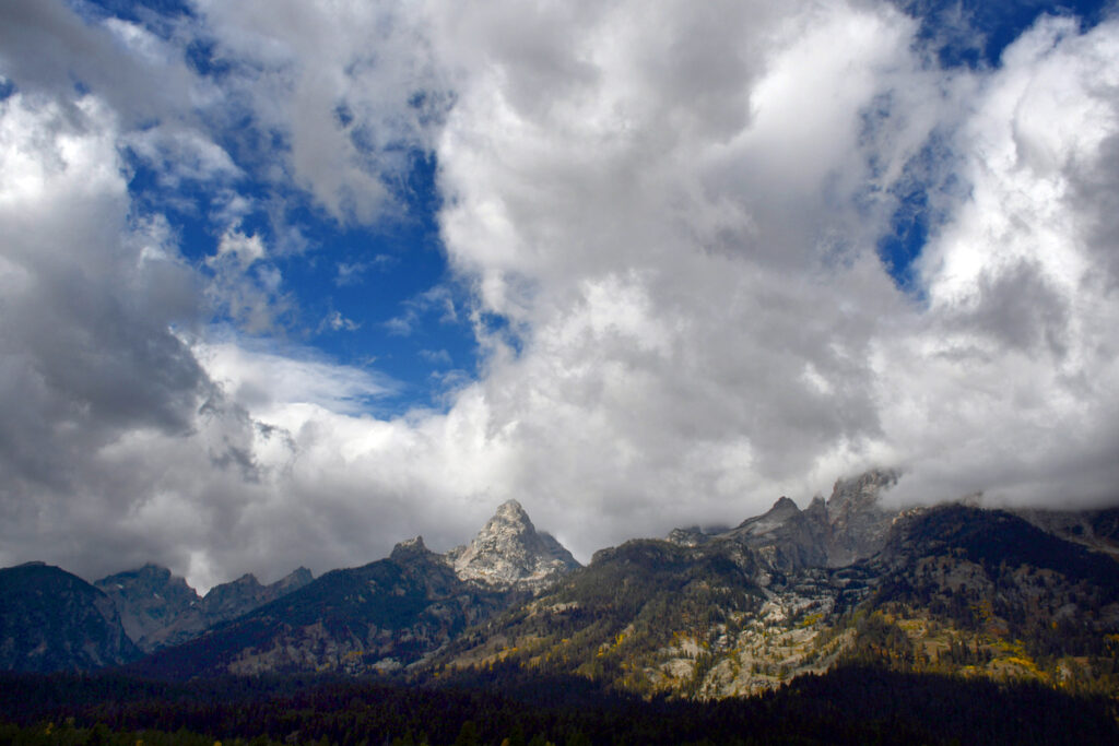
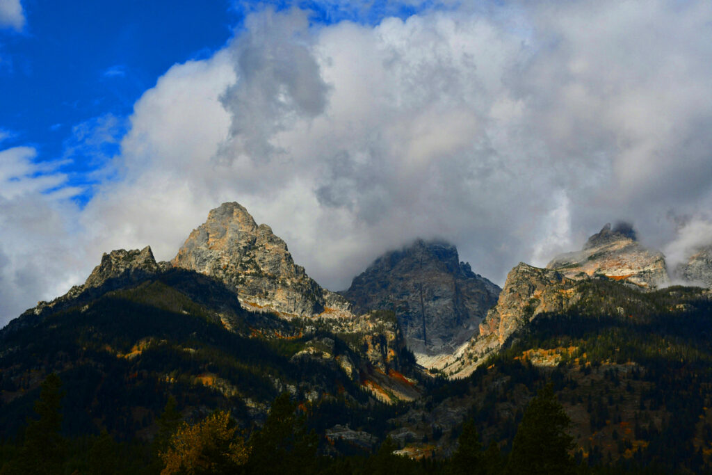
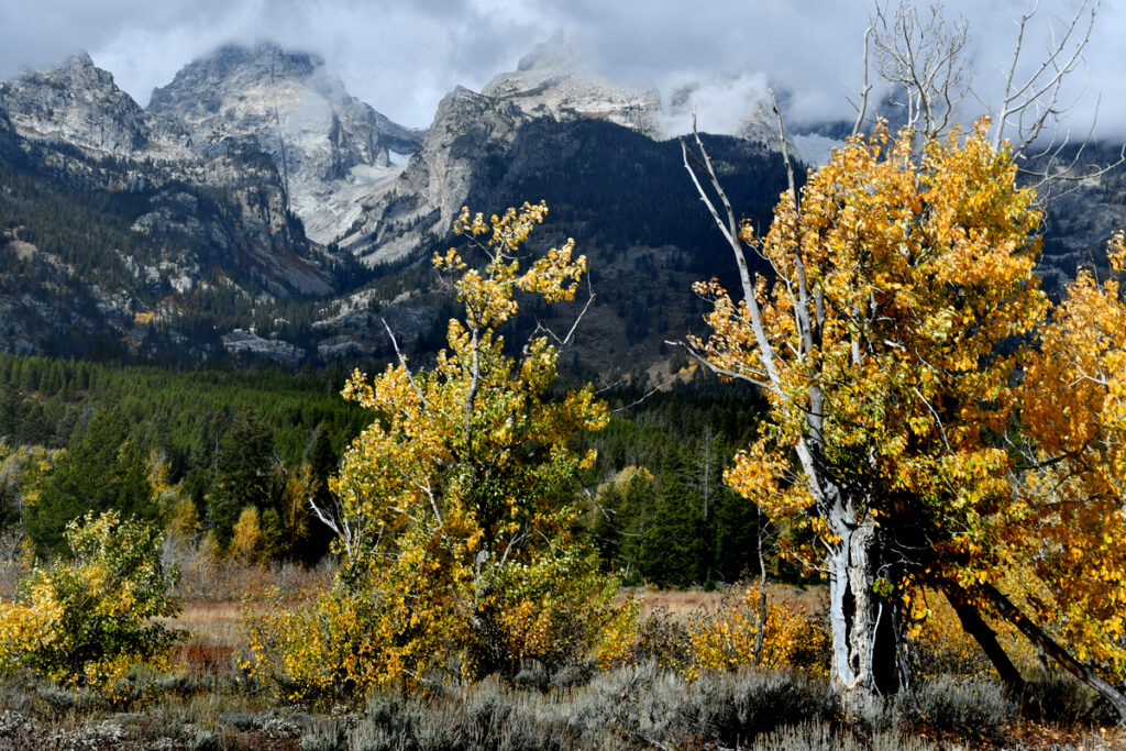
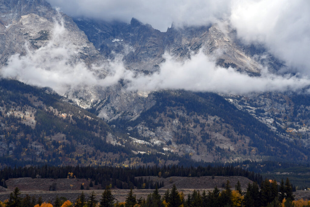
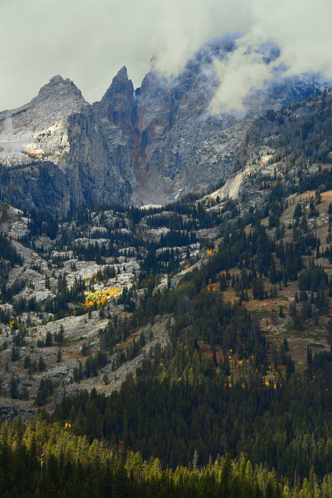
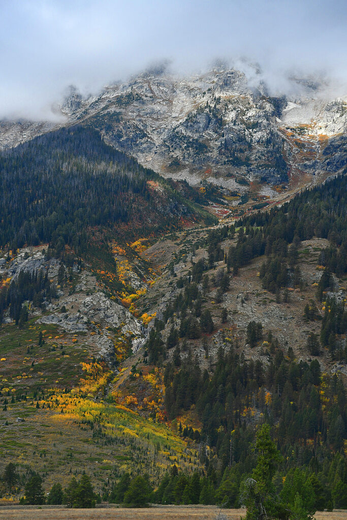
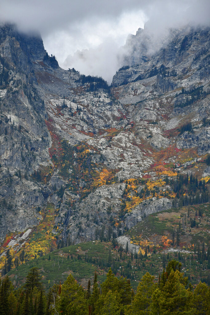
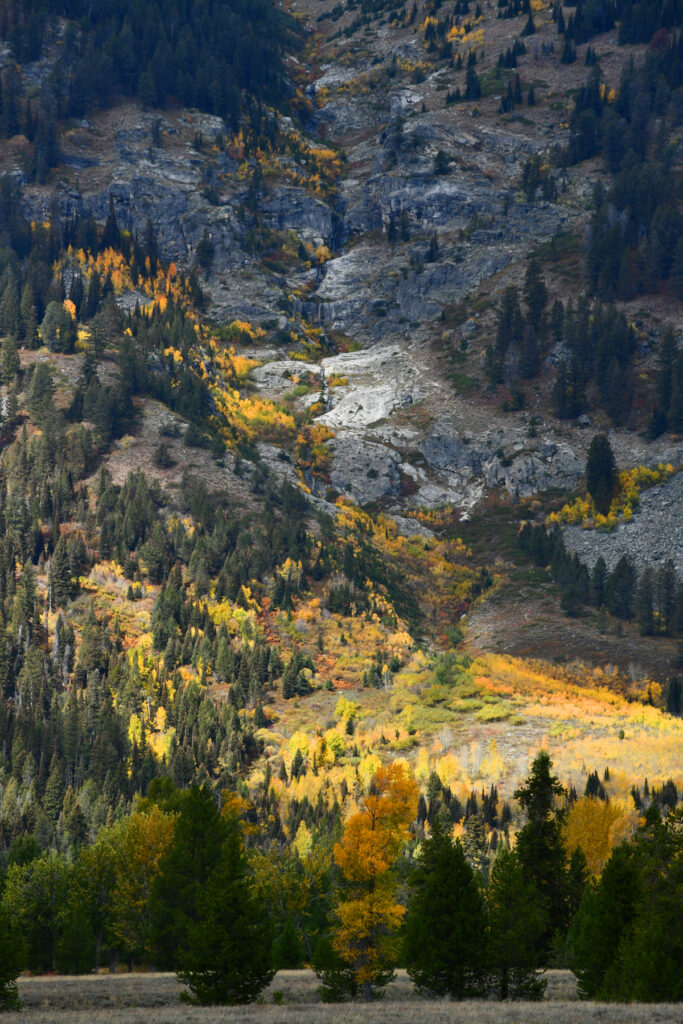
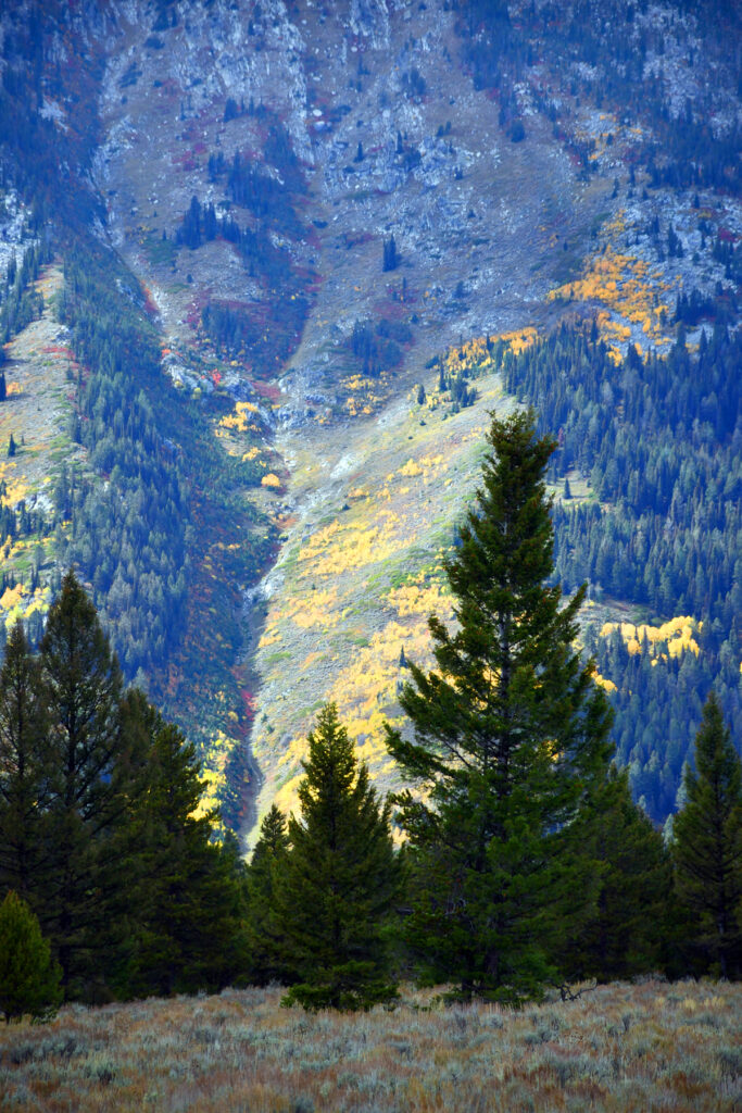
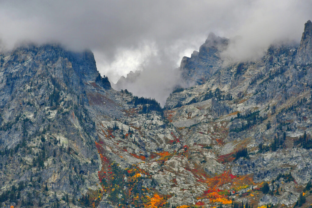
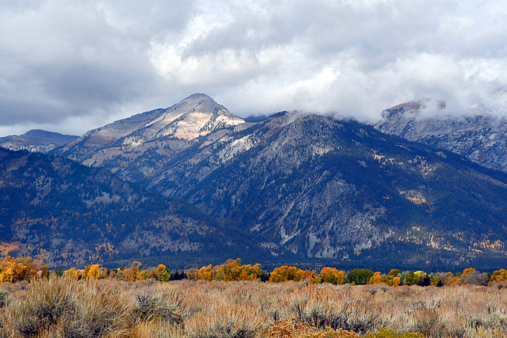
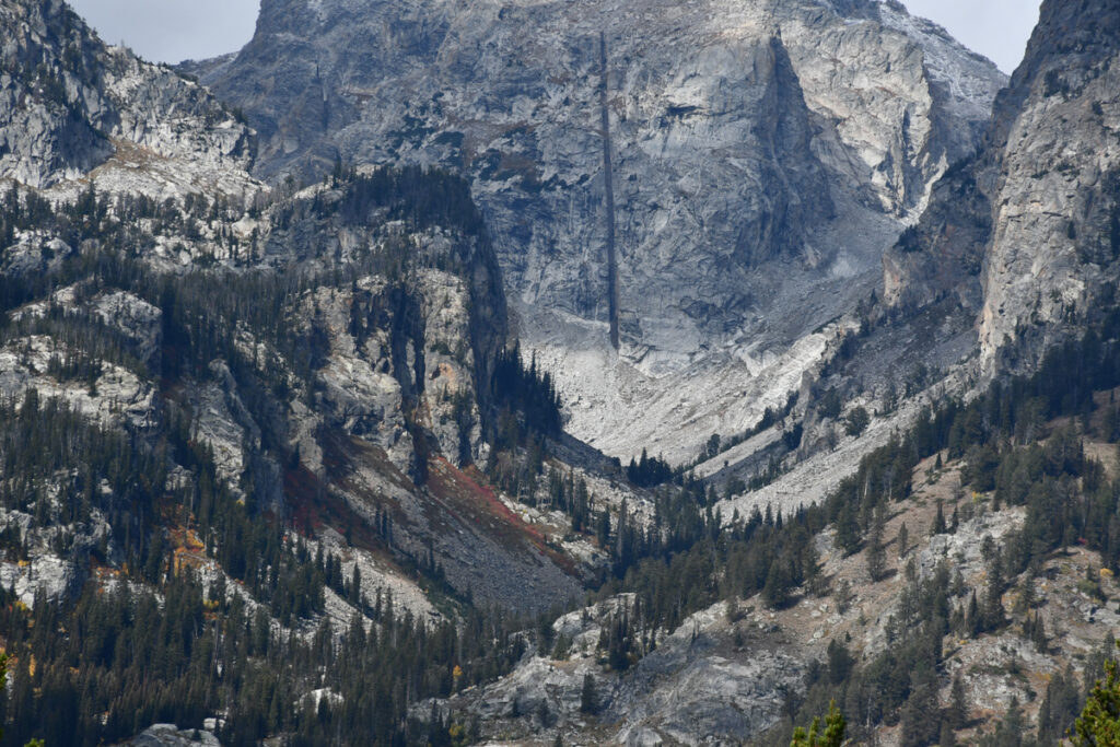
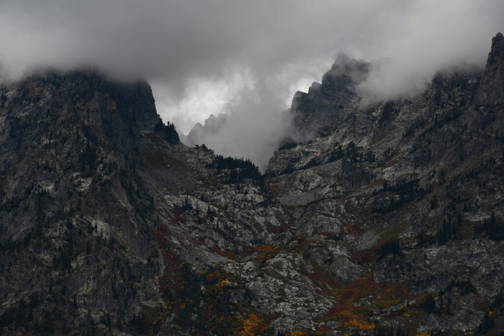
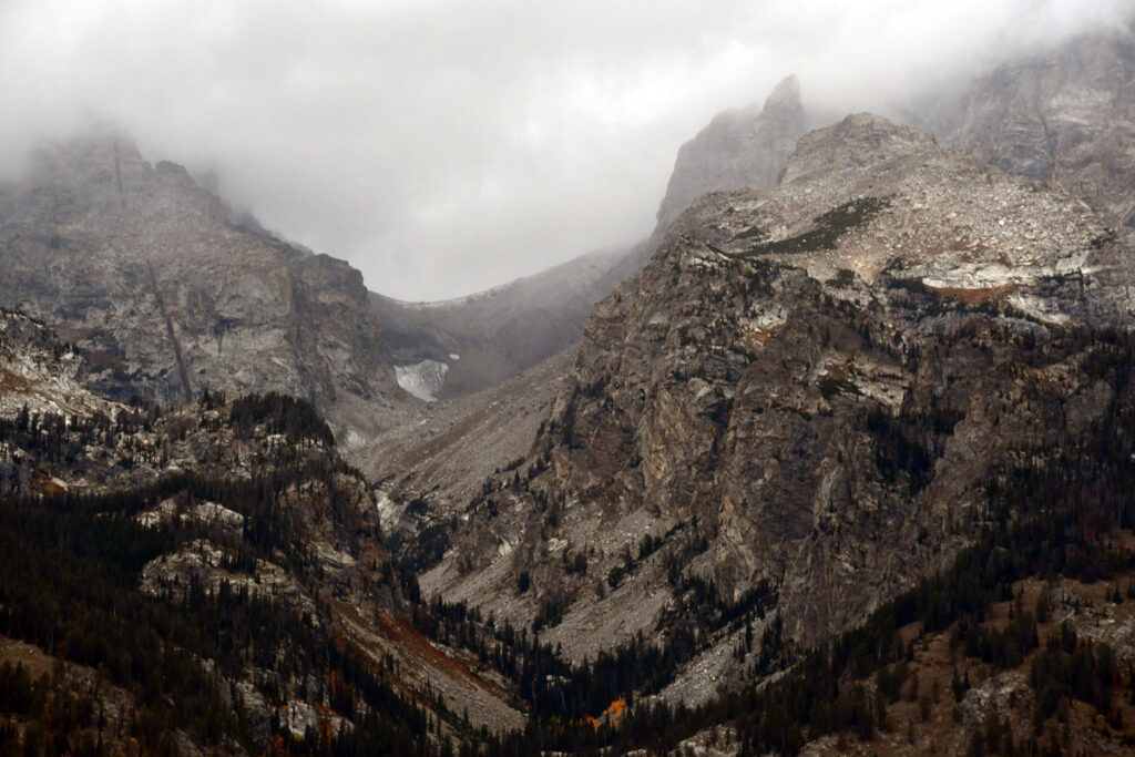
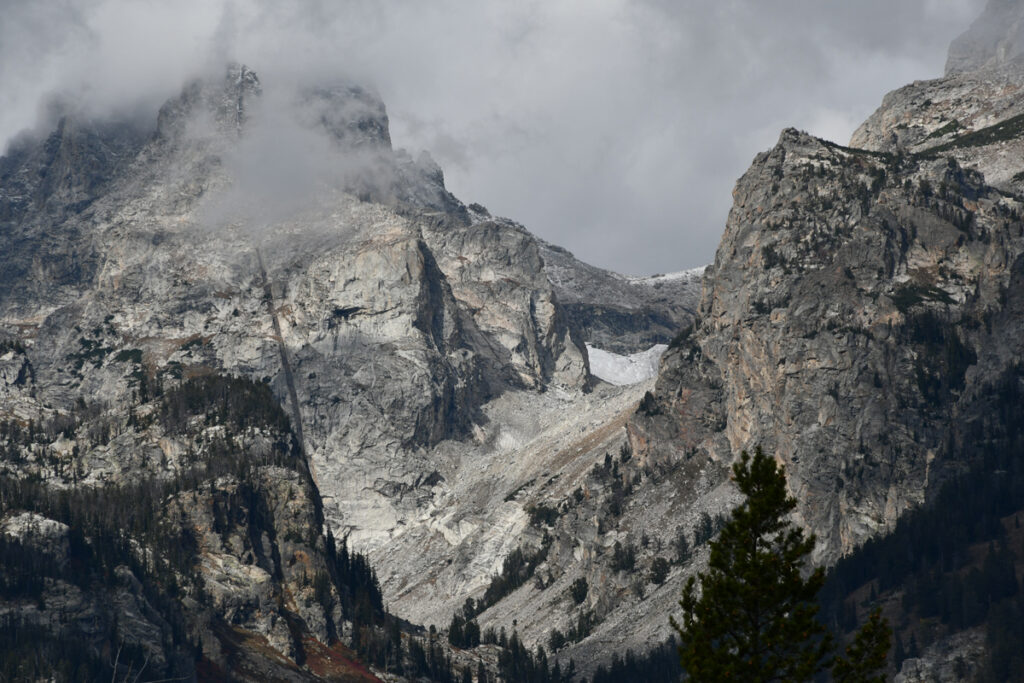
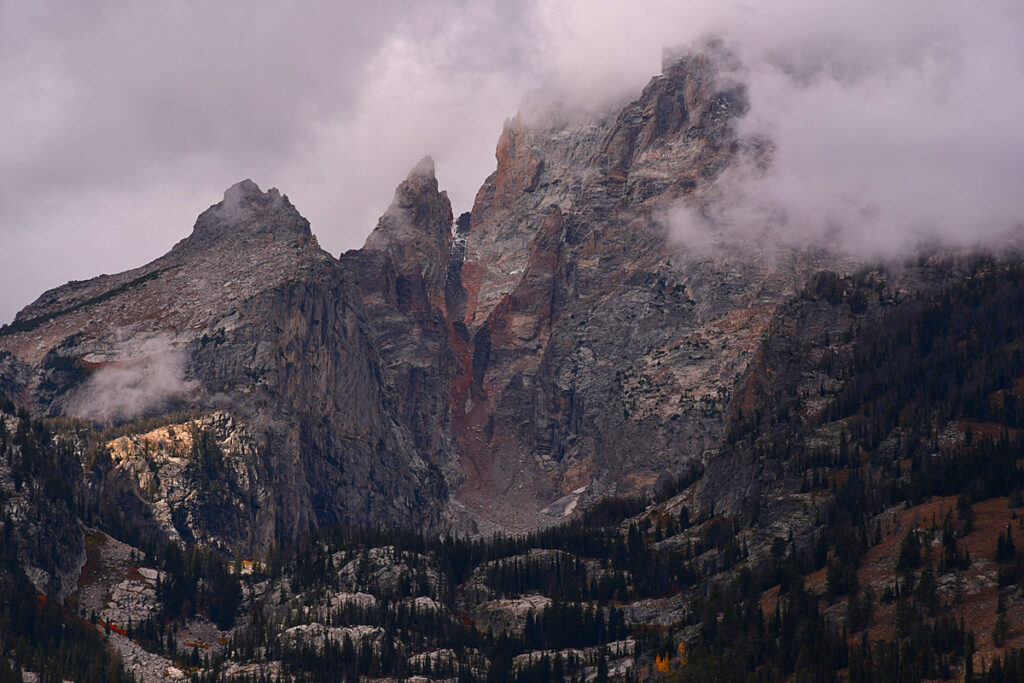
These first images are from the less visited west side.
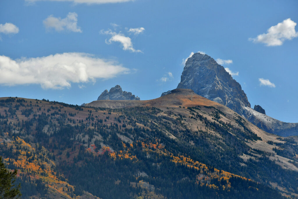
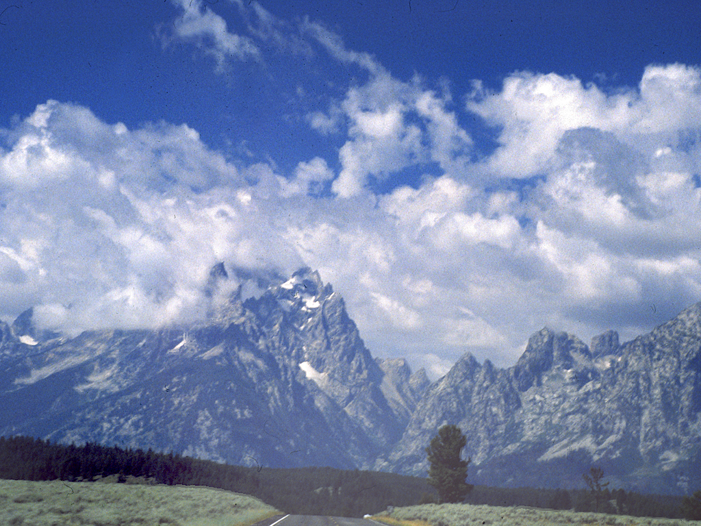
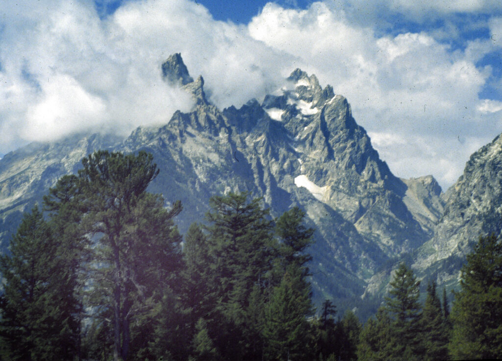
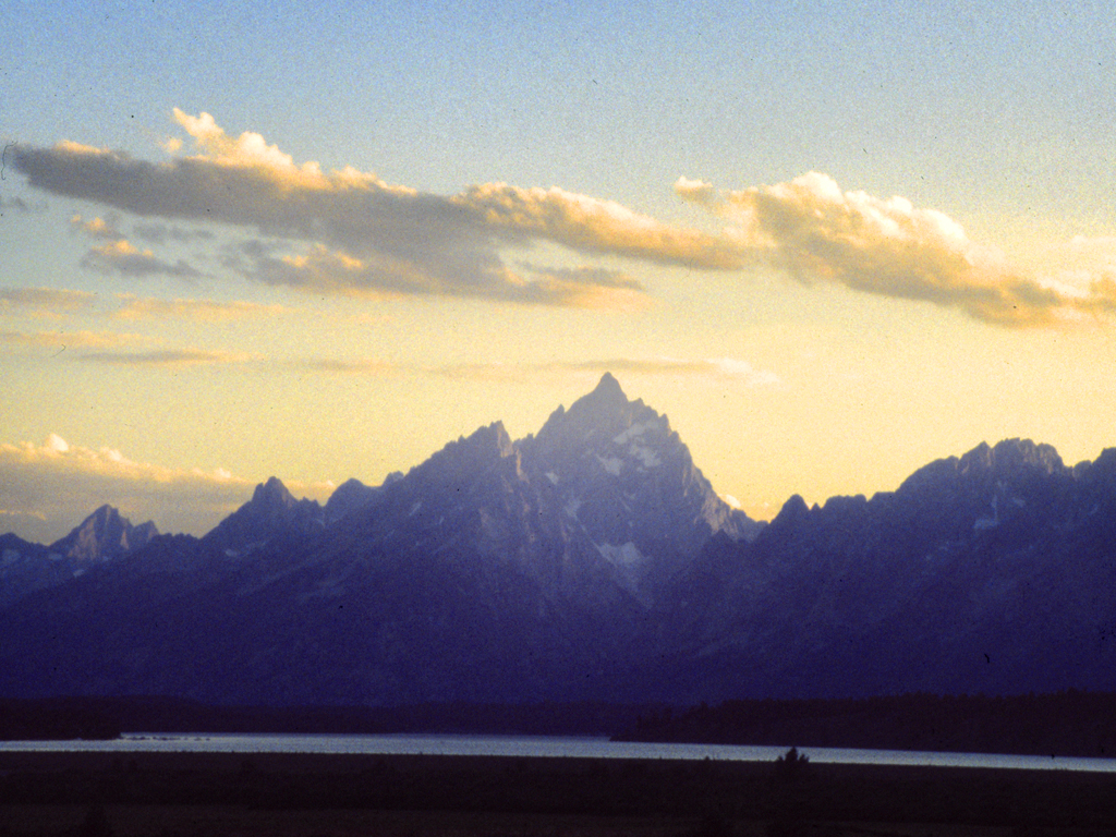
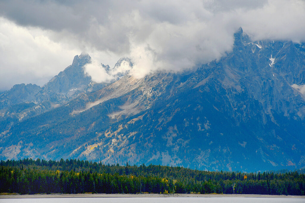
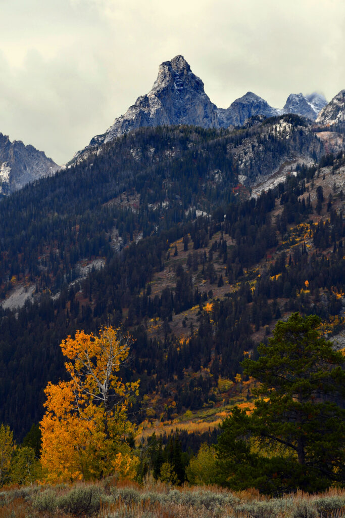
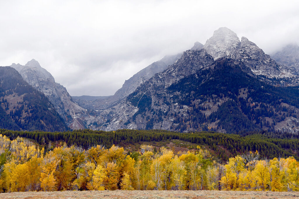
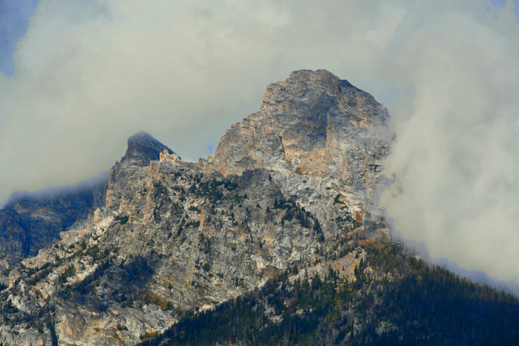
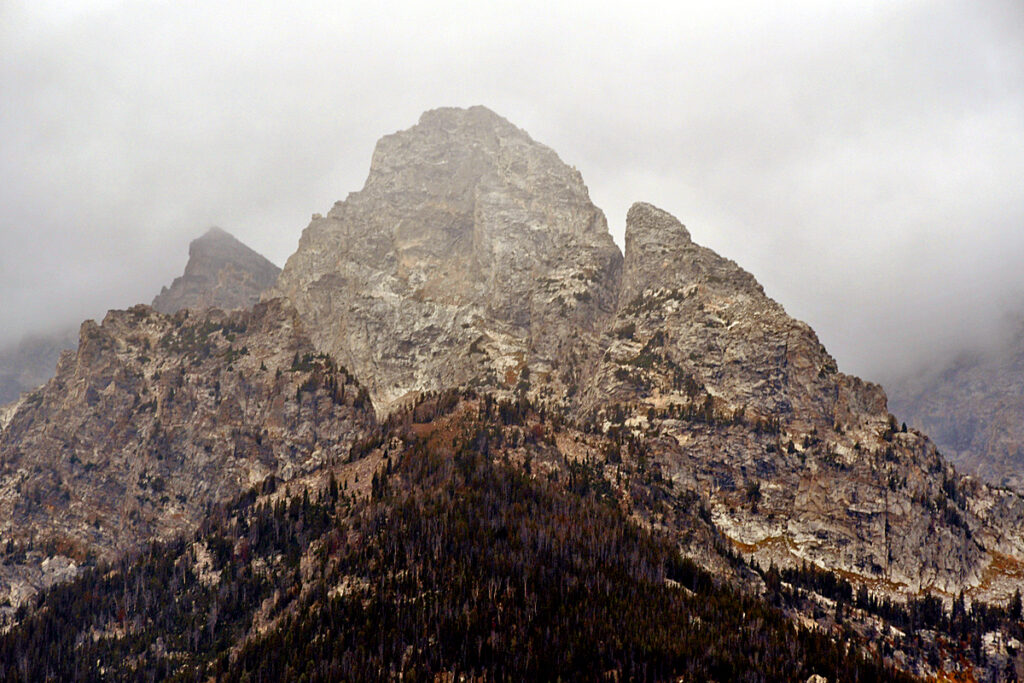
The same peak (Grand Teton) from the east side.
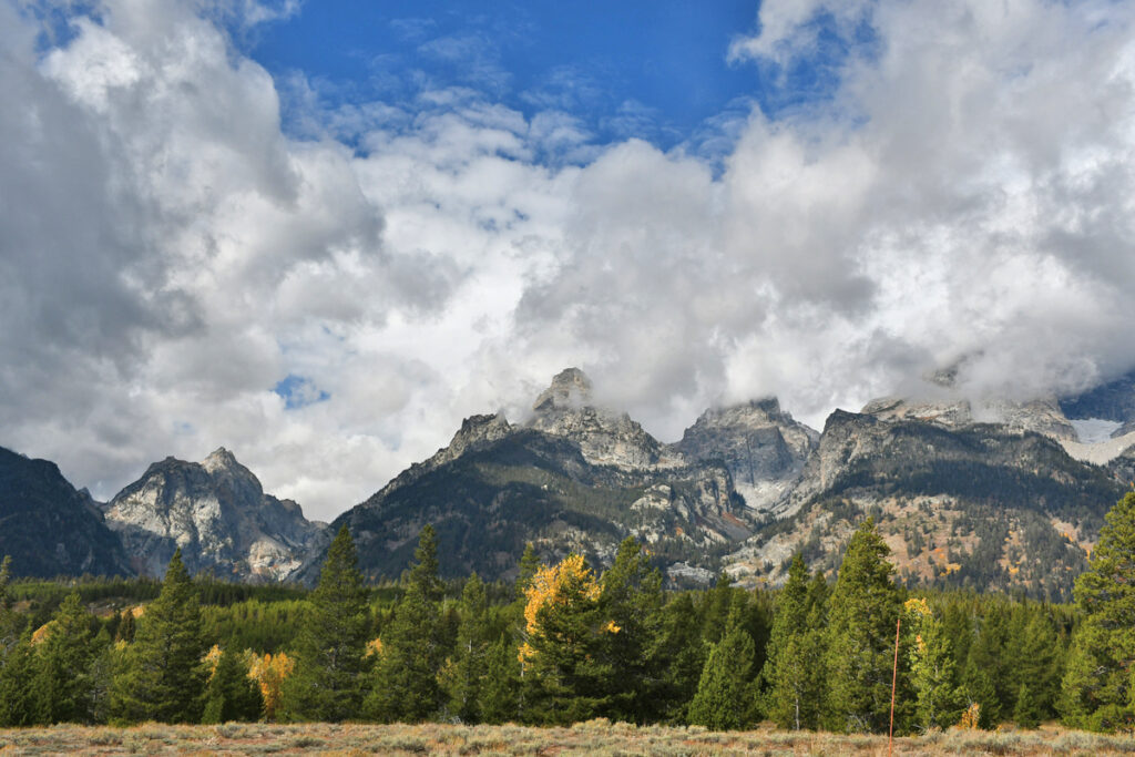
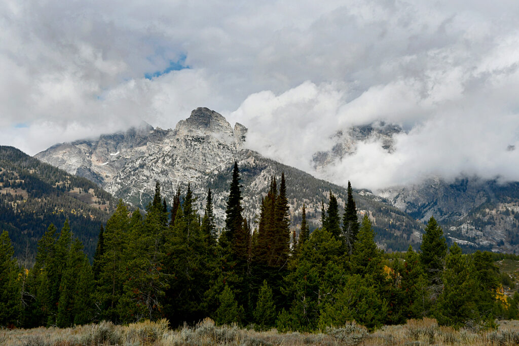
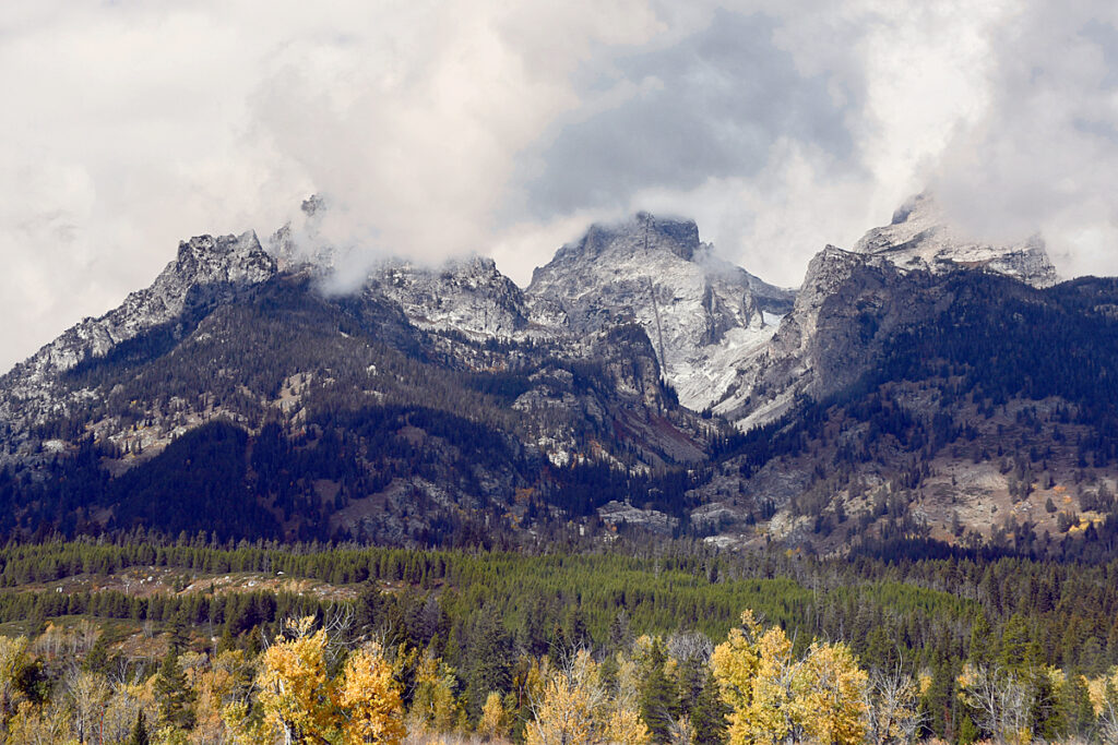
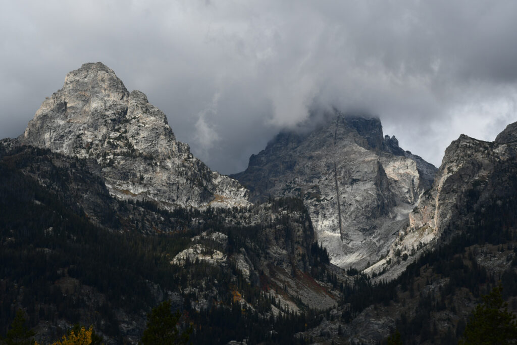
The peaks range from 12 to 13,000 feet high and one reason the Teton Range is famous is because of the dramatic elevation profile visible from the eastern side, which rises sharply from 4,000 to 7,000 feet (1,200–2,100 m) above the valley floor.
Unlike most mountain ranges, the east side of the Teton Range lacks significant foothills or lower peaks which might obscure the view. This is due to the presence of the Teton Fault at the base of the east slope as well as the range being too young to have eroded into soft hills.
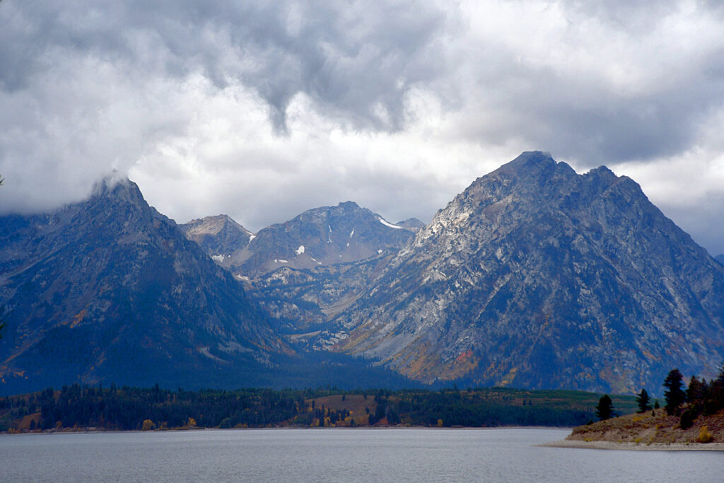
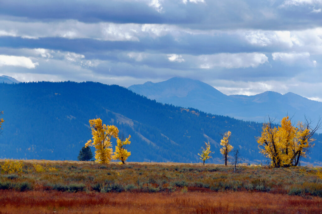
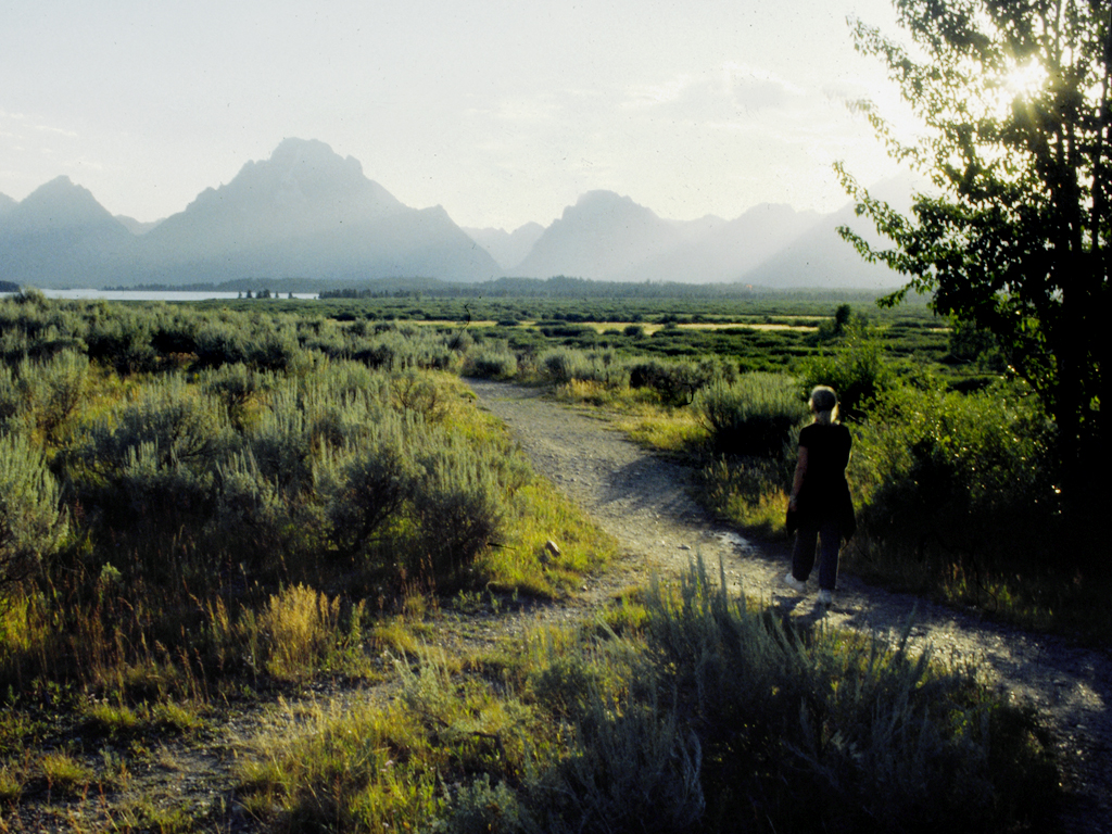
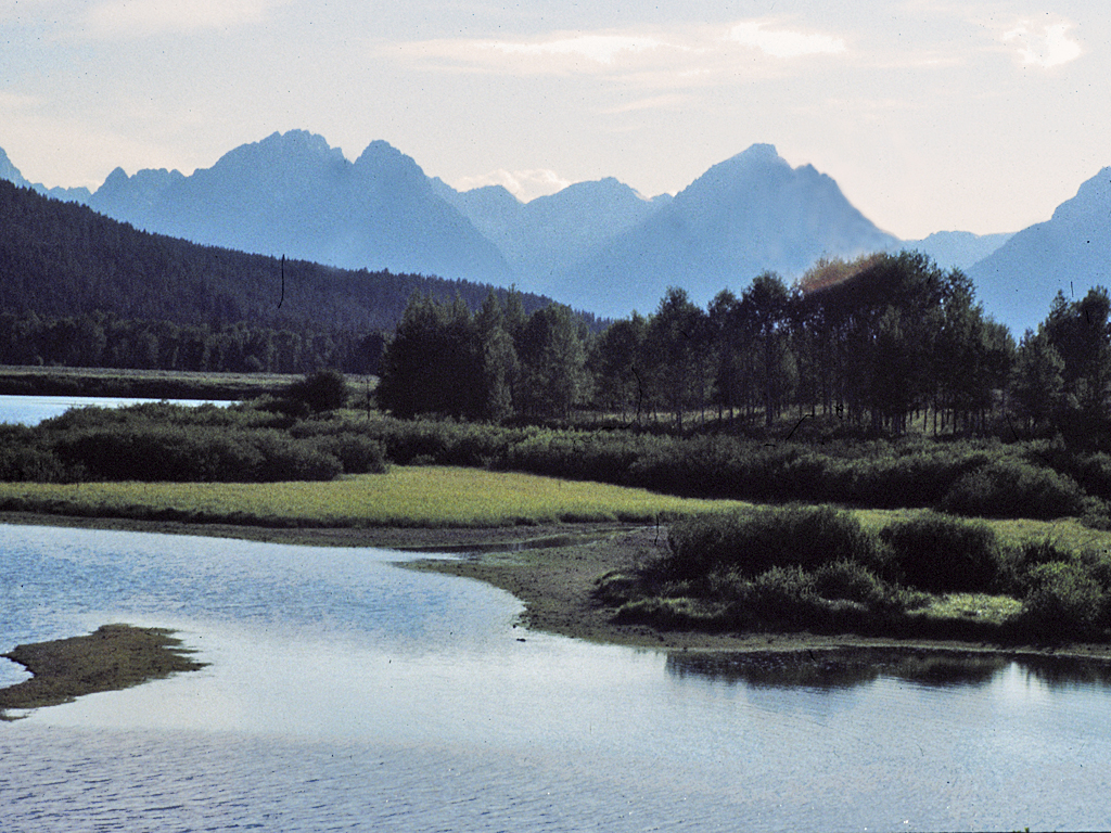
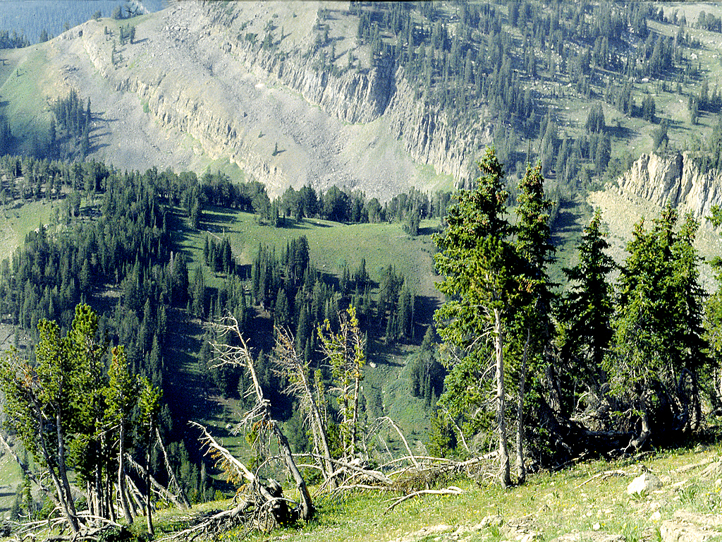
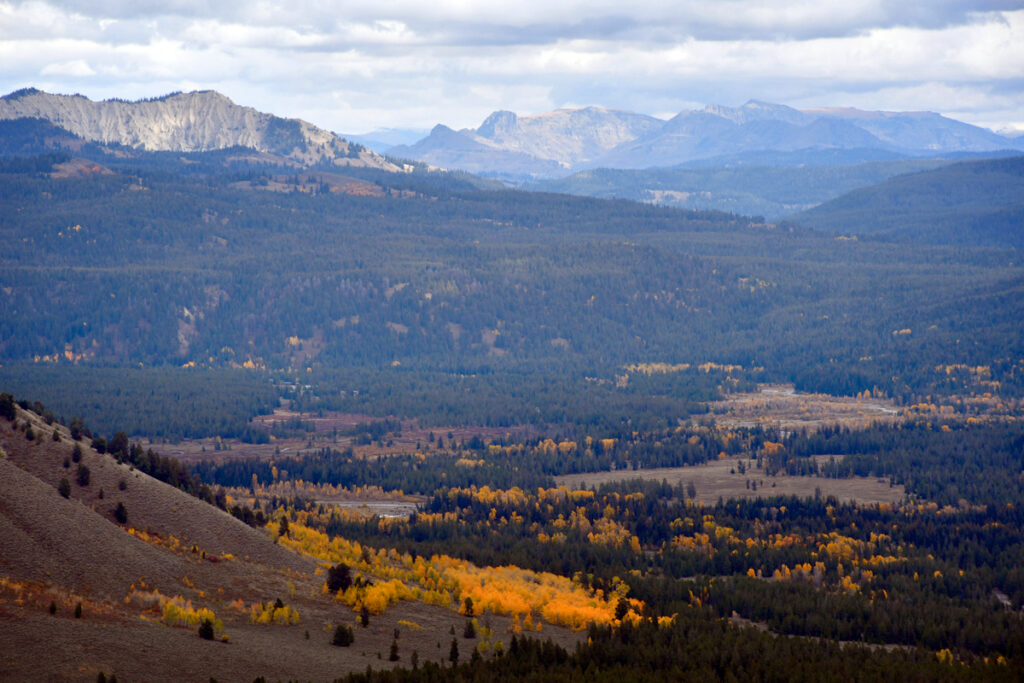
Below-Looking east from Signal Mountain across the valley toward the Wind River Range.
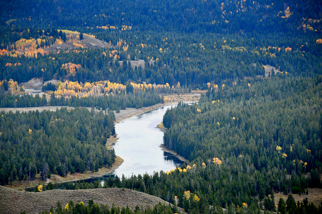
The Snake River flows southward through the valley before turning to the west and entering Idaho then to the Columbia River and the Pacific.
POSTSCRIPT
Many years I visited the Tetons on the way to Yellowstone and took these images with ye olde slide film.